It follows the historic route of the 1775-76 Spanish colonizing expedition from Sonora, Mexico to San Francisco, CA. Whether urban or rural, the trail offers adventure, diverse cultural perspectives, and an opportunity to experience history.
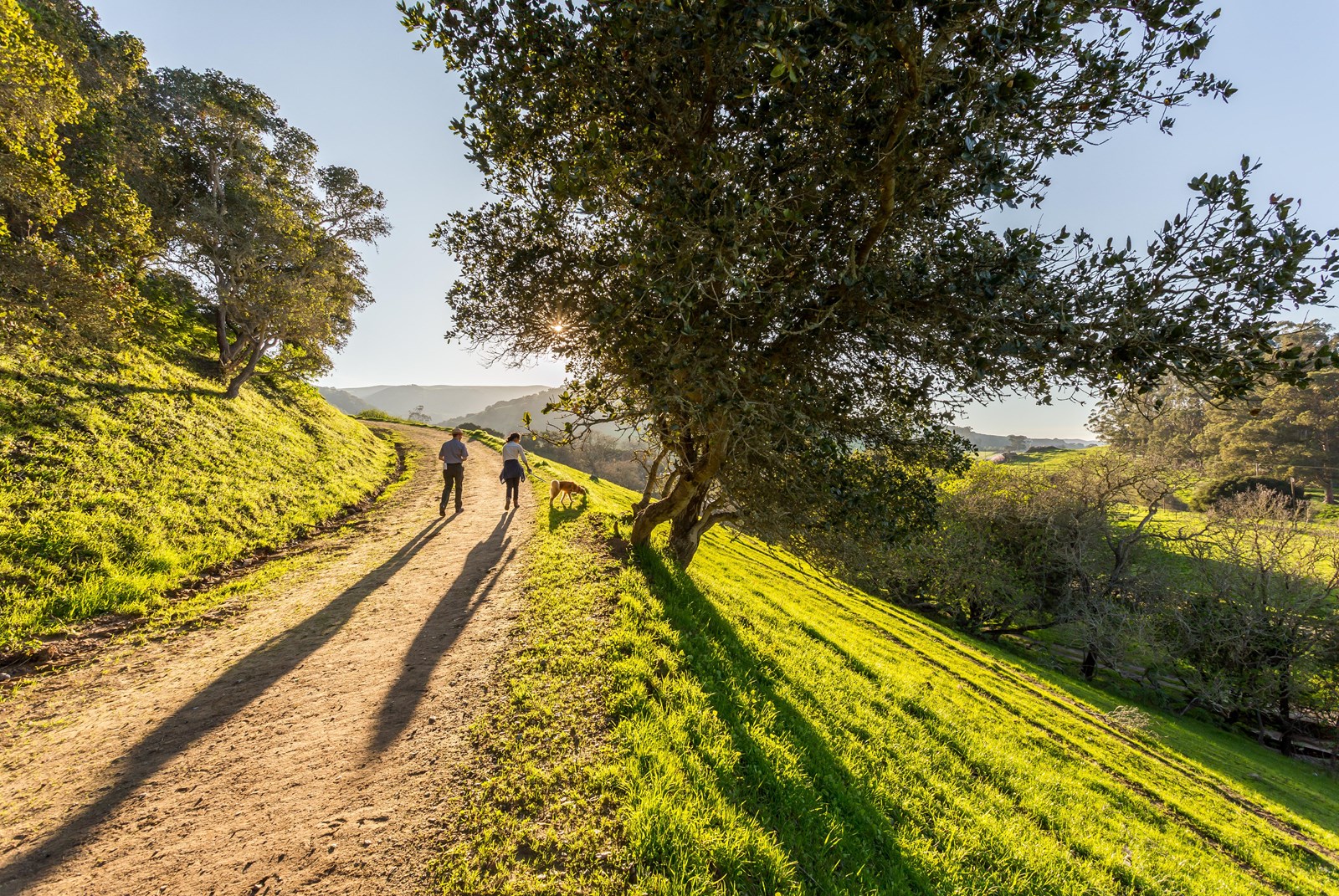
Juan Bautista de Anza National Historic Trail
The Juan Bautista de Anza National Historic Trail covers over 1200 miles through the homelands of 70+ Tribal communities.
- LocationRichmond, CA
- Entrance No fee listed
- HoursToday: 9:30AM - 5:00PM
-
 Weather now62°F Light rain shower
- Alerts No active alerts
Overview
Topics
- Colonization and Settlement
- Explorers and Expeditions
- Hispanic American Heritage
- Immigration
- Latino American Heritage
- Native American Heritage
- Trails
- Trains and Railroads
1 more topics
- Transportation
Things to Do
7 experiences from the National Park Service. Check details on NPS.gov before you go.
-

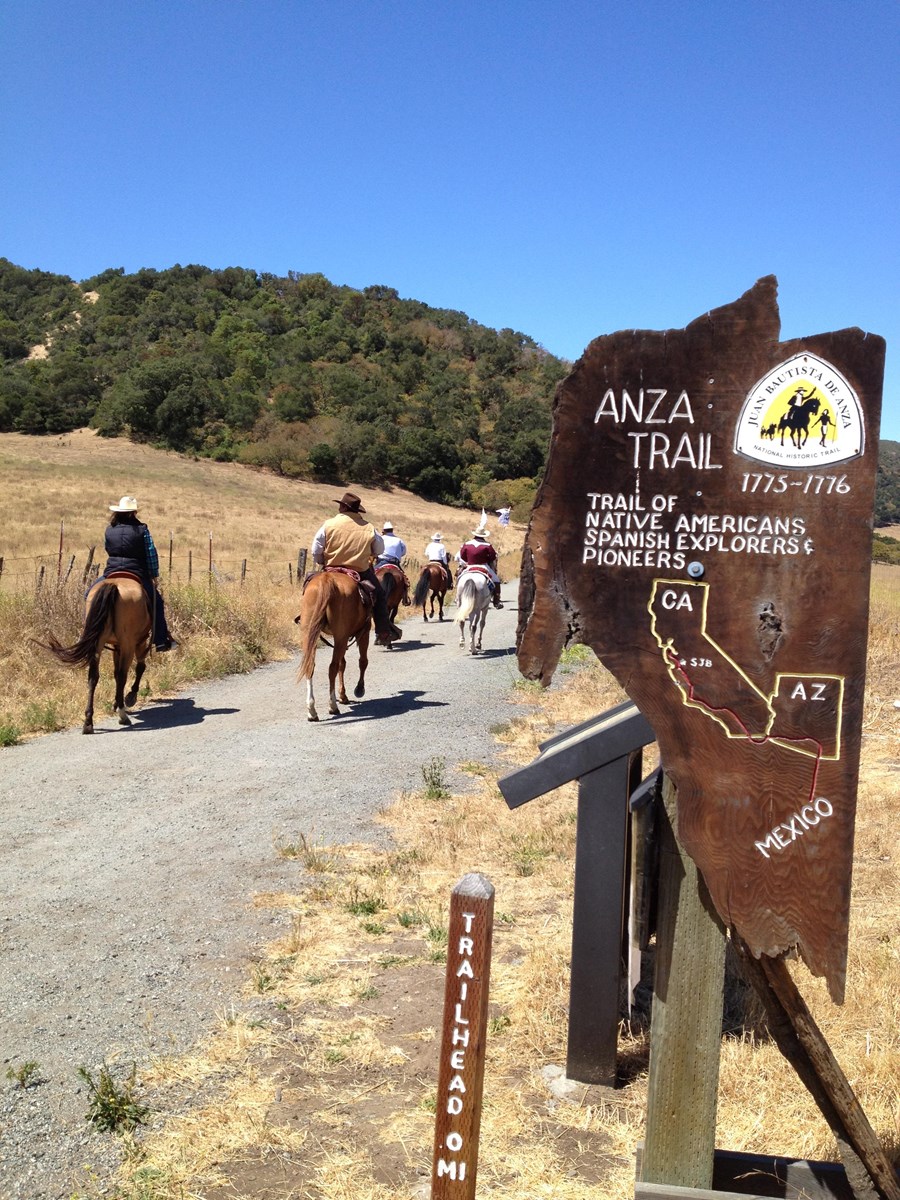
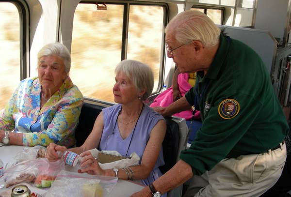
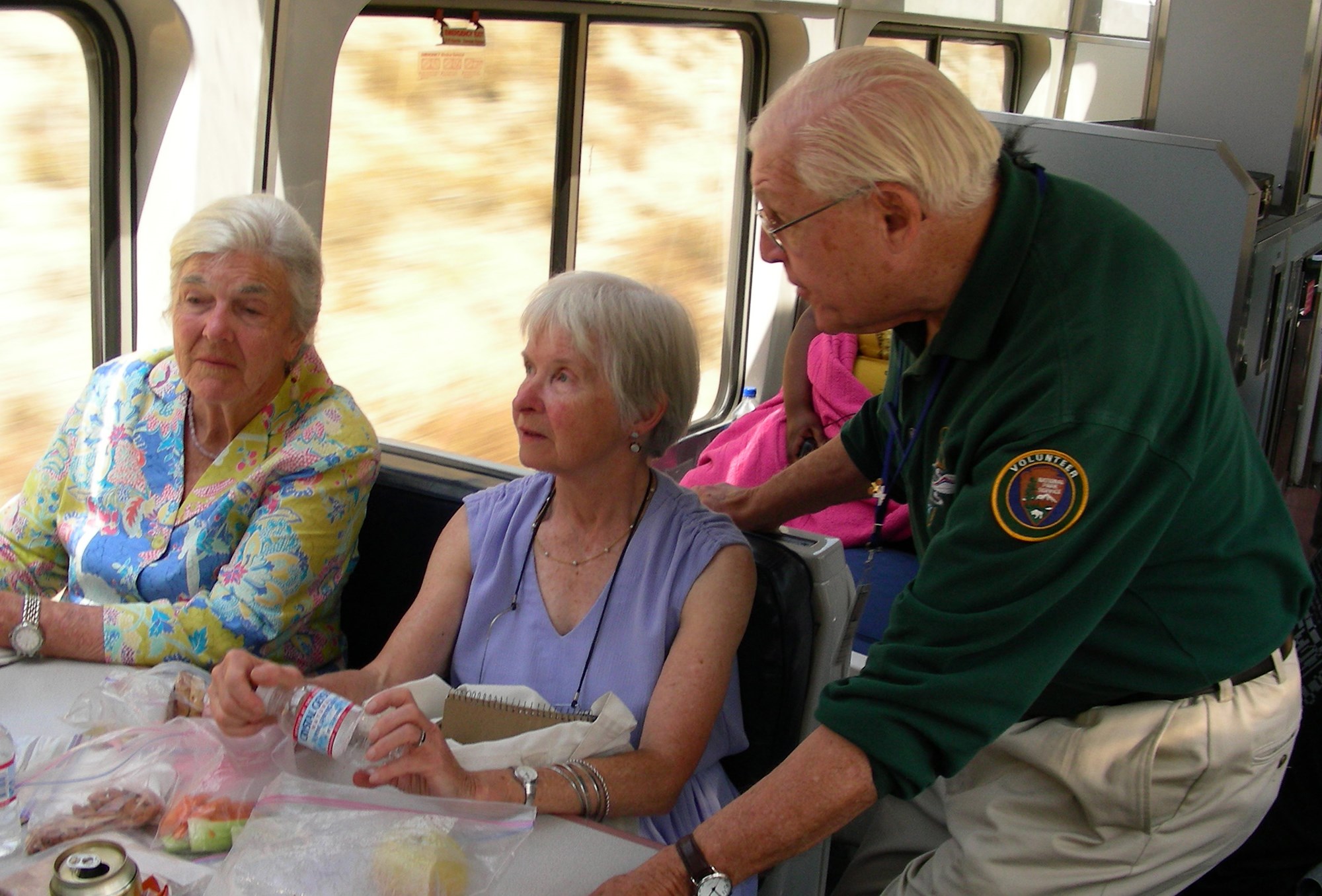
Experience the Anza Trail by Train
Experience the Anza Trail with NPS volunteer historians and interpreters on board Amtrak's Coast Starlight between Santa Barbara and San Jose.
Learn more about Experience the Anza Trail by Train on NPS.gov (opens in a new tab) -
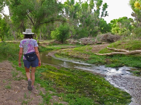
Hike the Anza Trail from Tumacácori to Tubac, AZ
Hike through shady cottonwood galleries and mesquite bosques along this six-mile stretch of the Anza Trail between Tumacácori National Historic Park and Tubac Presidio State Historic Park.
Learn more about Hike the Anza Trail from Tumacácori to Tubac, AZ on NPS.gov (opens in a new tab) -
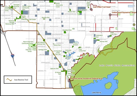
Hike the Anza Trail through Moreno Valley
Enjoy an easy 8-mile out-and-back urban trail through Moreno Valley. This multi-use paved path starts at a city park and ends at a California state recreation area.
Learn more about Hike the Anza Trail through Moreno Valley on NPS.gov (opens in a new tab) -
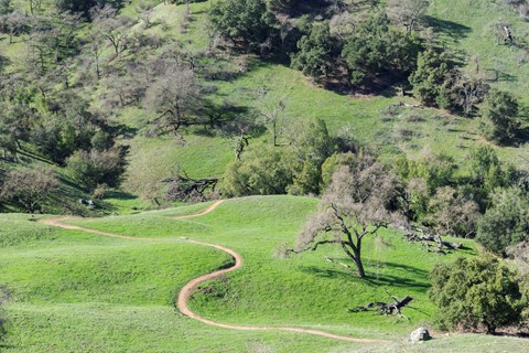
Hike the Arrowhead Loop Trail
Explore part of the Anza Recreational Retracement Trail by hiking this challenging 4-mile one-way loop through Coyote Valley Open Space Preserve in Santa Clara, CA.
Learn more about Hike the Arrowhead Loop Trail on NPS.gov (opens in a new tab) -
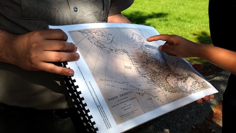
Hike the Delta de Anza/Mokelumne Loop
Enjoy a moderate 5.62-mile loop by taking the Mokelumne Coast-to-Crest Trail to the Delta de Anza Trail. This paved loop passes through or near several schools and community parks and provides access…
Learn more about Hike the Delta de Anza/Mokelumne Loop on NPS.gov (opens in a new tab) -
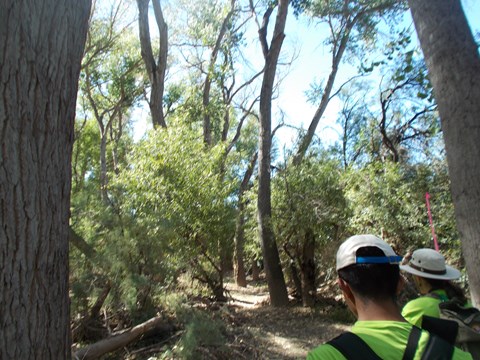
Hike the Santa Cruz River
The Santa Cruz River forms a ribbon of life in the Pimería Alta. Whether walking to its edge or along its length, visitors will encounter the fundamental building blocks of nature and human…
Learn more about Hike the Santa Cruz River on NPS.gov (opens in a new tab) -
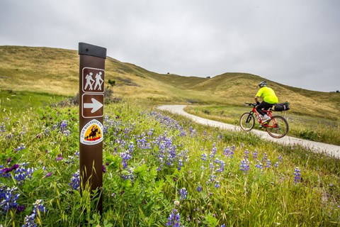
Hike, cycle, or ride through Fort Ord National Monument
Hike or ride a strenuous 4.5-mile segment that crosses the majestic grasslands of Fort Ord National Monument. The Monument segment is anchored by the Creekside Terrace Trailhead and the Badger Hills…
Learn more about Hike, cycle, or ride through Fort Ord National Monument on NPS.gov (opens in a new tab)
Showing 7 of 7
All 16 activities in the park
Pick one to find other parks that offer it.
- Hiking
- Scenic Driving
- Biking
- Guided Tours
- Horse Trekking
- Junior Ranger Program
- Auto and ATV
- Bookstore and Park Store
- Gift Shop and Souvenirs
- Horseback Riding
- Living History
- Mountain Biking
Show 4 more activities
Facilities & Services
Find visitor centers and other services available in the park. Check current hours and availability before you go.
Visitor Centers
-
Anza-Borrego Desert State Park Visitor Center
Visitor Center
The Visitor Center is located at the west end of Palm Canyon Dr. Approaching from the west on S-22, make a left at the stop sign at the intersection of Montezuma Valley…
Details
The Visitor Center is located at the west end of Palm Canyon Dr. Approaching from the west on S-22, make a left at the stop sign at the intersection of Montezuma Valley Rd and Palm Canyon Dr. Follow Palm Canyon Drive to the parking lot at the end. If approaching from the east, Borrego Salton Seaway, follow S-22 through the town of Borrego Springs. S-22 will turn into Palm Canyon Drive. Follow Palm Canyon Drive all the way to the parking lot at the end of the road. -
Big Break Visitor Center at the Delta
Visitor Center
The Visitor Center is accessible from Big Break Road. It includes hands-on and informational displays about the Delta. The center is staffed by Naturalists and Student…
Details
The Visitor Center is accessible from Big Break Road. It includes hands-on and informational displays about the Delta. The center is staffed by Naturalists and Student Aides who are happy to share information about the park and activities in the area, including wetland walks and adjoining trails. In addition, Big Break Regional Shoreline offers picnic and meadow areas, a small, shaded amphitheater, boat and kayak launch facilities, and a fishing pier. -
Gila Bend Visitor Center
Visitor Center
An affiliated Arizona Office of Tourism Visitor Center, travelers can expect to find information about any of the four regions of our amazing State, as well as…
Details
An affiliated Arizona Office of Tourism Visitor Center, travelers can expect to find information about any of the four regions of our amazing State, as well as destination information about Gila Bend. Call (928) 683-2255 for more information. -
Griffith Park Visitor Center
Visitor Center
Griffith Park Visitor Center, 4730 Crystal Springs Drive, Los Angeles, CA, 90027. Stop by the Visitor Center for information regarding Griffith Park activities…
Details
Griffith Park Visitor Center, 4730 Crystal Springs Drive, Los Angeles, CA, 90027. Stop by the Visitor Center for information regarding Griffith Park activities, attractions, and permits. You may also call the Visitor Center Permit Office at (323) 644-2050, Tuesday to Saturday, from 9:00 am until 4:00 pm. -
Saguaro National Park East - Rincon Mountain District Visitor Center
Visitor Center
Saguaro National Park has two districts geographically separated by the city of Tucson. The Rincon Mountain District (RMD) is often referred to as Saguaro East, while…
Details
Saguaro National Park has two districts geographically separated by the city of Tucson. The Rincon Mountain District (RMD) is often referred to as Saguaro East, while the Tucson Mountain District (TMD) is often referred to as Saguaro West. -
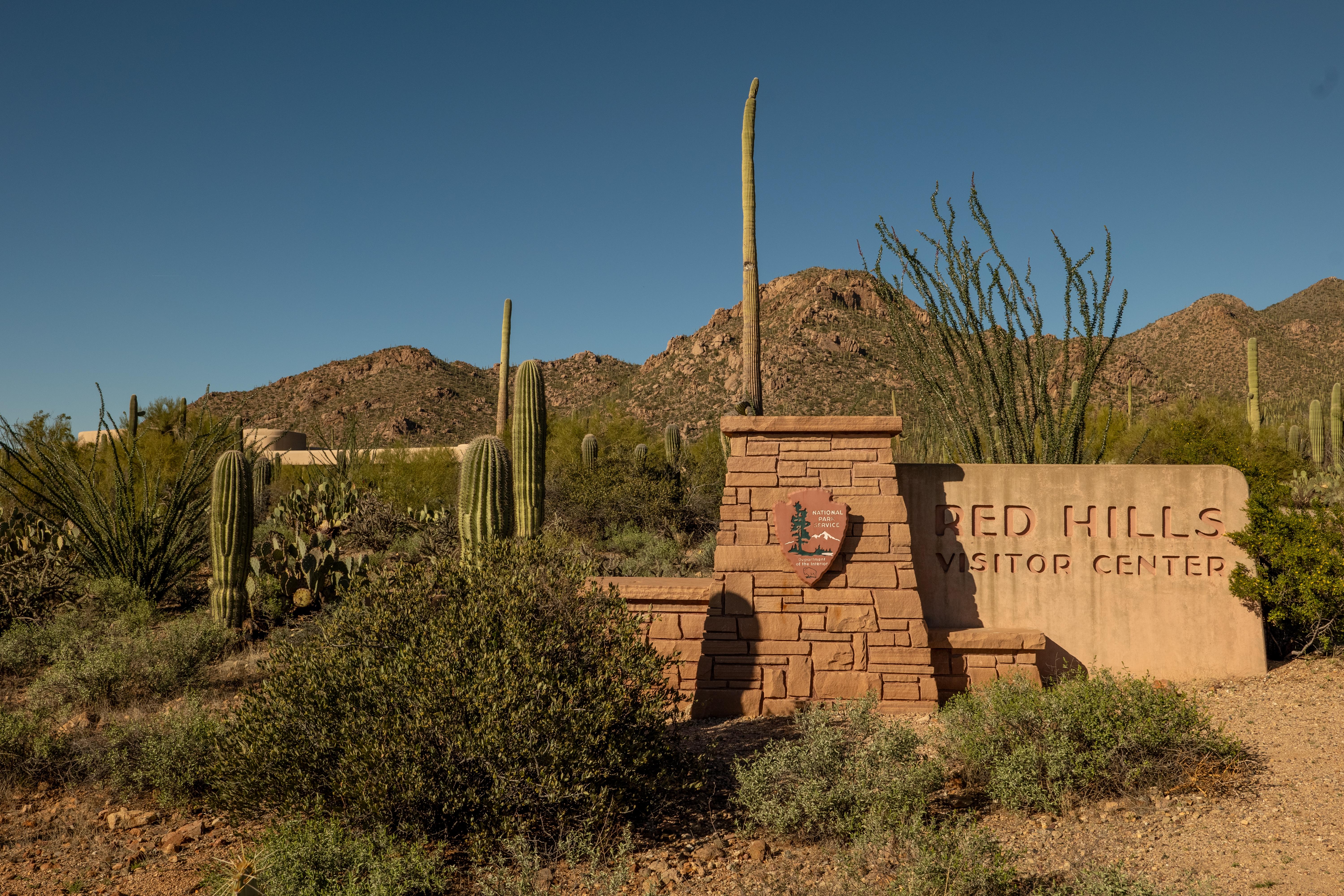
Saguaro National Park West - The Red Hills Visitor Center
Visitor Center
The Red Hills Visitor Center is a great place to learn about the park and start your visit to Saguaro National Park's West District. Views from the patio are spectacular…
Details
The Red Hills Visitor Center is a great place to learn about the park and start your visit to Saguaro National Park's West District. Views from the patio are spectacular and overlook the Red Hills and majestic Saguaro cactus forest nearby. Learn more about the unique geology of the Tucson Mountains, get great recommendations on how to get the most out of your time in the park, or explore the park bookstore. General information, park maps, and hiking guides are available in front of the building 24-hrs a day
Show 2 more facilities
Visitor Centers
-
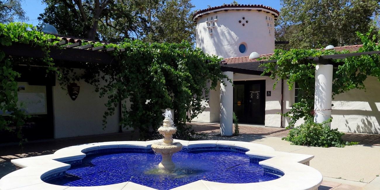
Santa Monica Mountains Anthony C. Beilenson Interagency Visitor Center
Visitor Center
The Santa Monica Mountains Interagency Visitor Center is located in what once was the ranch stables, which was part of King C. Gillette Ranch. The stables were…
26876 Mulholland Highway, Calabasas, CA Directions
Details
The Santa Monica Mountains Interagency Visitor Center is located in what once was the ranch stables, which was part of King C. Gillette Ranch. The stables were refurbished to make it a visitor center. In alignment with the Department of the Interior sustainability goals, the building is the first “net zero” visitor center in the National Park Service and worked with the U.S. Green Building Council to qualify the building as a LEED certified facility. -
William Penn Mott, Jr. Presidio Visitor Center
Visitor Center
The visitor center is the go-to place to find out what is happening and what there is to do in the Presidio. Discover the Presidio through a large relief map, inspiring…
210 Lincoln Blvd., San Francisco, CA Directions
Details
The visitor center is the go-to place to find out what is happening and what there is to do in the Presidio. Discover the Presidio through a large relief map, inspiring video, engaging exhibitions on history and nature, interactive tools, and knowledgeable staff that can help you uncover the incredible array of experiences possible here.
Plan Your Visit
Hours
Today: 9:30AM - 5:00PM · Administrative Staff Hours
Hours details
-
Administrative Staff HoursToday: 9:30AM - 5:00PM
Hours listed are for the Richmond, California administrative office of the Anza Trail (admin office not currently open to public). The 1,200-mile Anza Trail connects historic, cultural, and recreation sites from Nogales, AZ, to the San Francisco Bay Area that reveal the legacy of our Spanish colonial heritage. To learn more, visit http://www.nps.gov/juba. Each site along the Anza Trail is managed independently. Contact individual sites for hours, directions, and other details.
Monday 9:30AM - 5:00PM Tuesday 9:30AM - 5:00PM Wednesday 9:30AM - 5:00PM Thursday 9:30AM - 5:00PM Friday 9:30AM - 5:00PM Saturday Closed Sunday Closed
Entrance fees
No entrance fees listed.
Address
440 Civic Center Plaza, Suite 300Richmond, CA 94804
Contact the park
Weather & conditions
62°F
Light rain shower · feels like 59°
-
Today
63° 58°
Light rain shower78% rain
-
Tomorrow
 72° 57°
Sunny17% rain
72° 57°
Sunny17% rain -
Wednesday
81° 58°
Sunny0% rain
Updated 7 min ago
What to expect by season
The 1,200-mile Anza Trail connects historic, cultural, and recreation sites from Nogales, AZ, to the San Francisco Bay Area. To learn more, visit http://www.nps.gov/juba. Each site along the Anza Trail is managed independently. Contact individual sites for hours, directions, and other details.
Upcoming Events
1 coming up-
Anza Exhibit at the Monterey History & Art Association Museum at Stanton Center
Event page for Anza Exhibit at the Monterey History & Art Association Museum at Stanton Center (opens in a new tab)About
The exhibit commemorates the 250th anniversary of the Anza expedition by exploring both the expedition itself and the environment the settlers found when they arrived in Monterey. Panels discuss the founding of Monterey, early buildings and structures, the Anza expedition, and three Voyages of Discovery (La Perouse, Malaspina and Vancouver) that visited Monterey relatively soon after the settlers arrived. Reproductions of 22 drawings created by voyage artists provide a visual sense of place and time. An NPS Anza Trail poster will be displayed, and brochures and travel guides will be made available to visitors.
Photos
-
The Anza Trail is one of 30 National Scenic and Historic Trails — NPS -
-


Getting There
Richmond, CA 94804
Details listed are for the Richmond, California administrative office of the Anza Trail (administrative office is not currently open to the public). The 1,210-mile Anza Trail connects historic, cultural, and recreation sites from Nogales, AZ, to the San Francisco Bay Area that reveal the legacy of our Spanish colonial heritage.
Full directions
Each site along the Anza Trail is managed independently. Contact individual sites for hours, directions, and other details.
Mailing address: 440 Civic Center Plaza, Suite 300, Richmond, CA 94804
Map loads when you scroll here