Johnstown Flood National Memorial
Designation: National Memorial
Location: Pennsylvania
📘 Park Overview
The South Fork Dam failed on Friday, May 31, 1889, and unleashed 20,000,000 tons of water that devastated Johnstown, PA. The flood killed 2,209 people but it brought the nation and the world together to aid the "Johnstown sufferers." The story of the Johnstown Flood reminds us all, "...that we must leave nothing undone for the preservation and protection of our brother men."
🌤 Weather Information
Winters can be cold and severe. Spring can be seasonable and wet. Summer can be hot with potentials for thunderstorms. Fall can be seasonal, with cold temperatures into October and November.
🚗 Directions
Take US Route 219 to the St Michael/Sidman exit. At the end of the exit ramp head East on PA 869 (there is a park sign at the end of the exit ramp). Travel approximately 1.5 miles on PA 869 watching for a left turn onto Lake Road at the sign for Johnstown Flood National Memorial. Follow Lake Road 1.5 miles until the visitor center appears on your right. Please park safely in the designated parking lot and not block any emergency access roads.
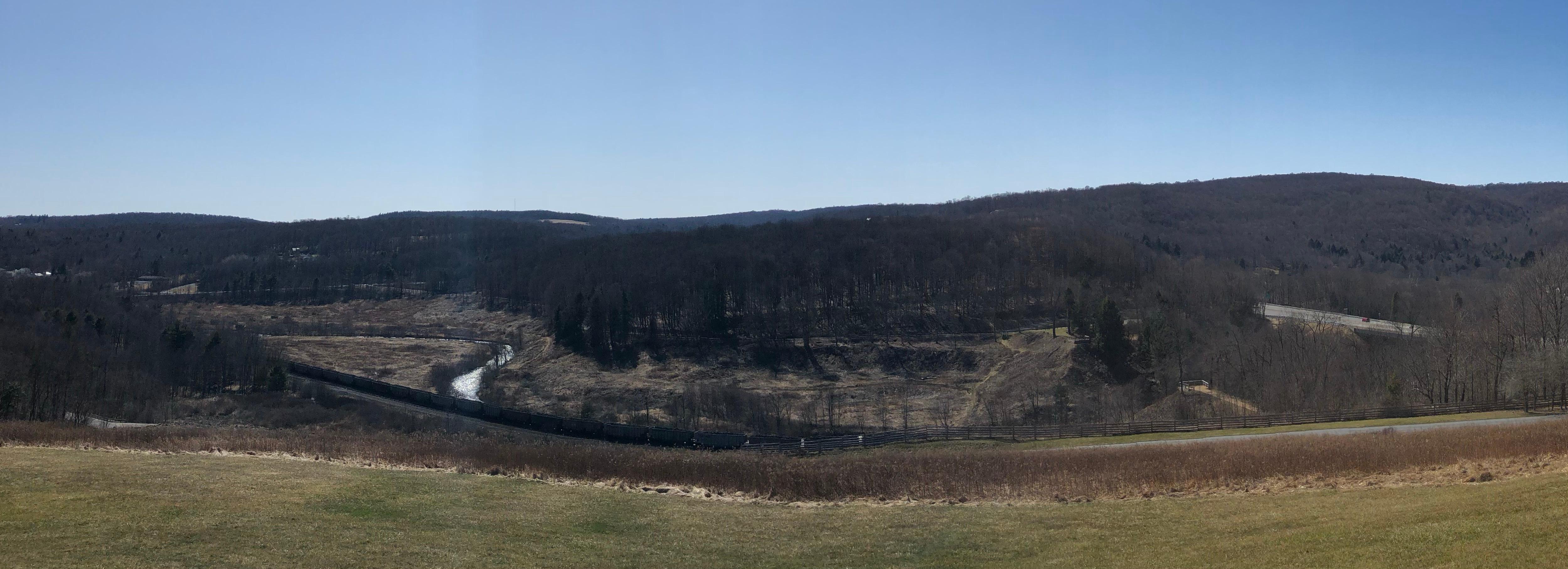
Images

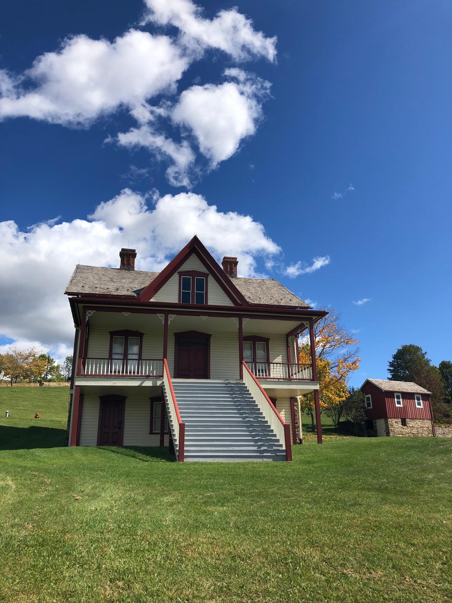
The Lake View Farm
Credit: NPS
Lake View House
Credit: NPS
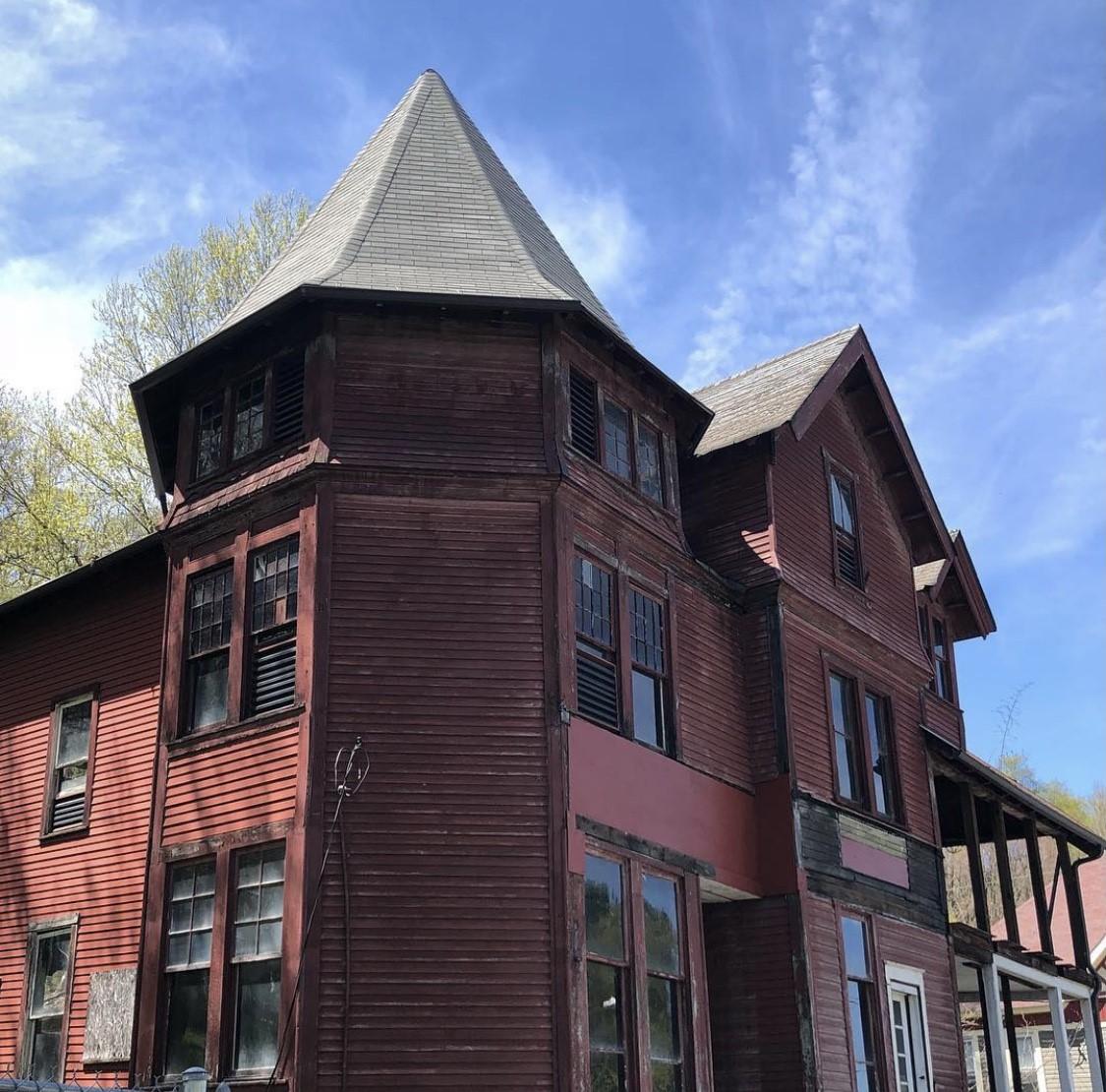
The Double Cottage once served as a structure for the South Fork Fishing and Hunting Club
Credit: NPS
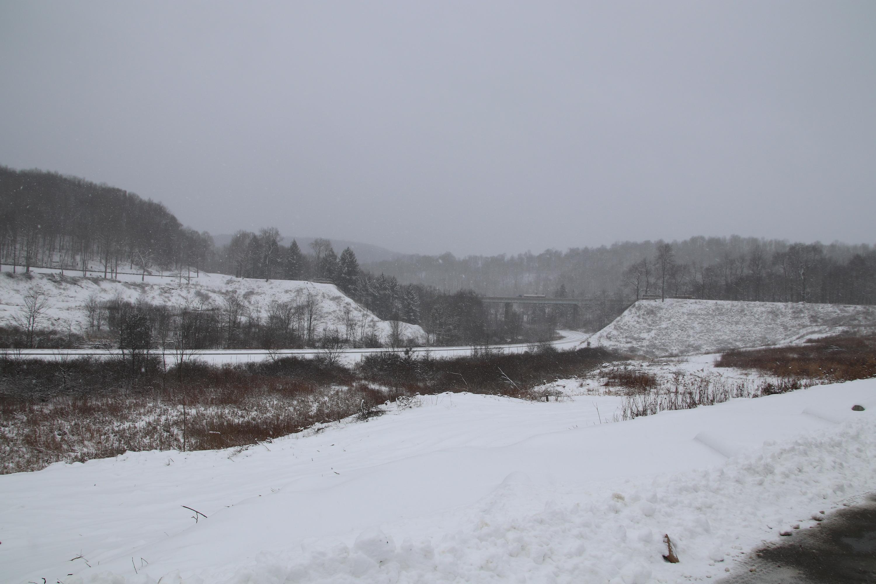
Remains of the South Fork Dam with snow
Credit: NPS
The Lippincott Cottage once served as a structure for the South Fork Fishing and Hunting Club
Credit: NPS
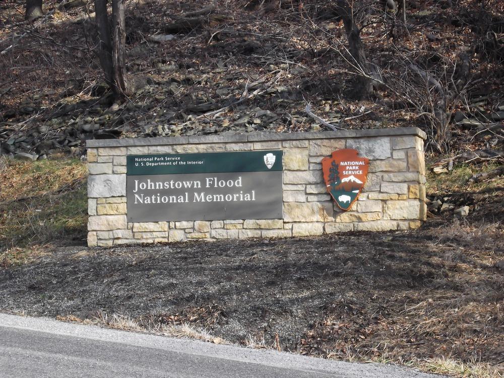
Park entrance sign
Credit: NPS
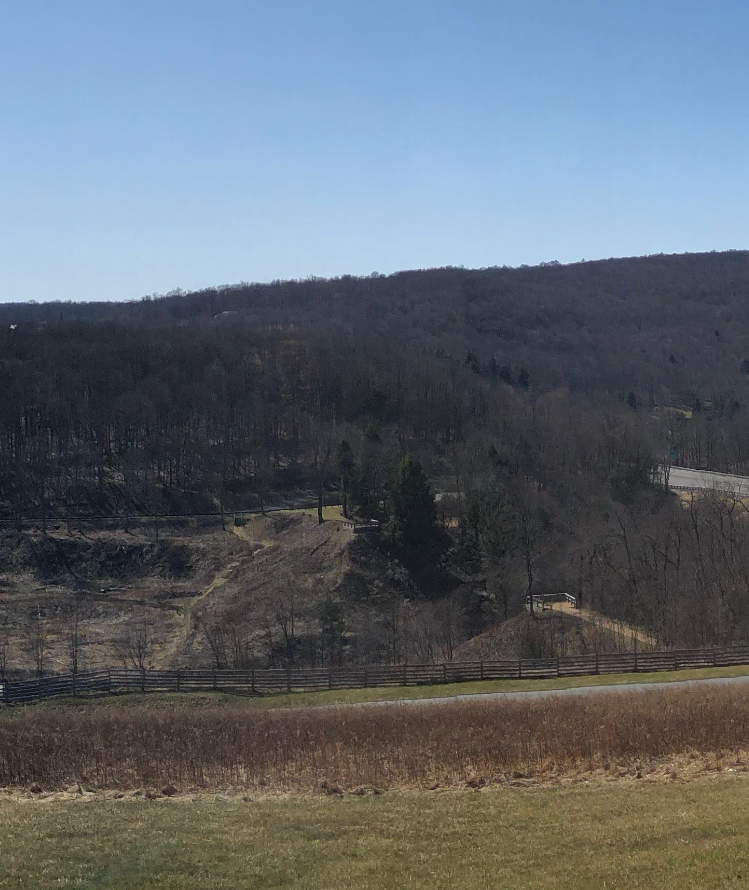
The remains of the South Fork Dam
Credit: NPS
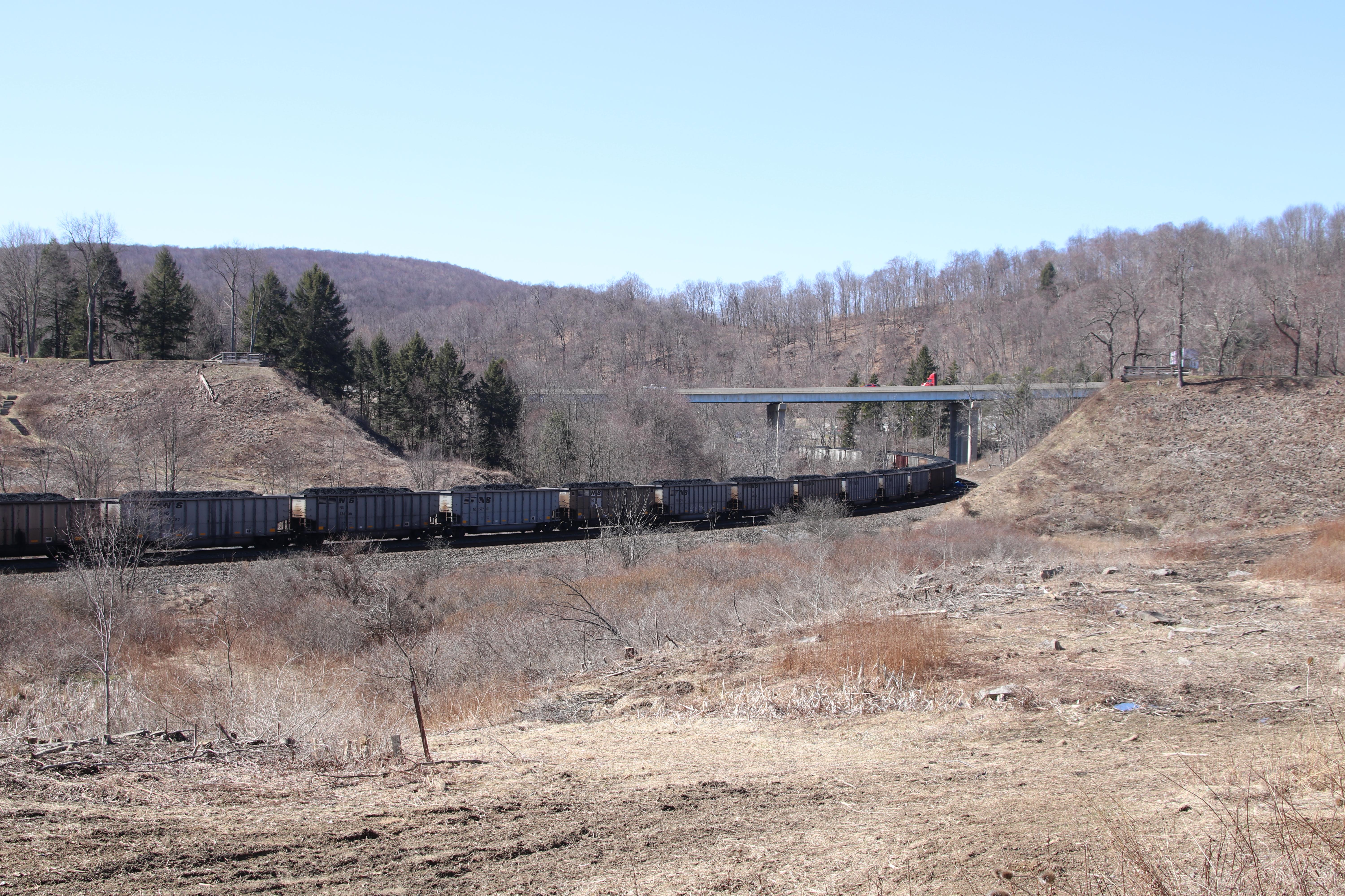
The remains of the South Fork Dam
Credit: NPS
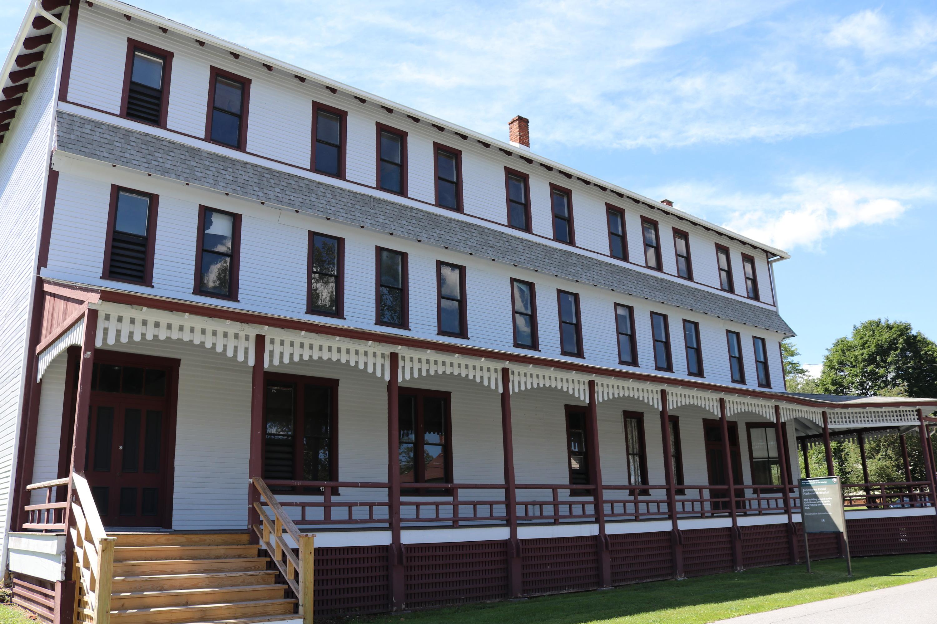
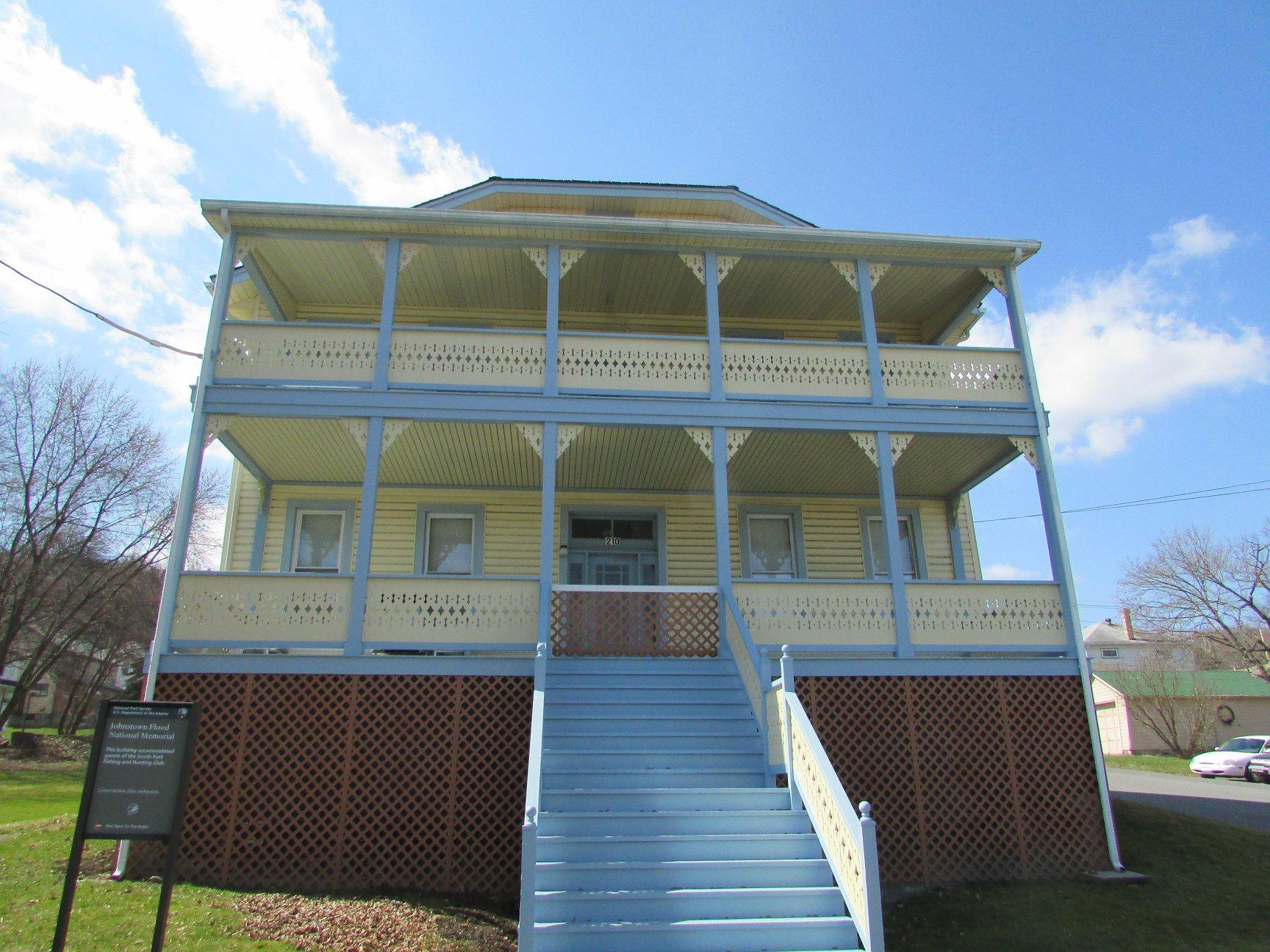
South Fork Fishing and Hunting Club Club House
Credit: NPS
The remains of the South Fork Dam
Credit: NPS
Activities
Topics
Operating Hours
Entrance Fees
No entrance fees listed.
Entrance Passes
No entrance passes listed.
3-Day Weather Forecast
Friday, Dec 19

Moderate rain
High: 48°F | Low: 17.5°F
Humidity: 85%
Wind: 22.4 mph
Rain Chance: 88%
UV Index: 0.2
Sunrise: 07:34 AM
Sunset: 04:52 PM
Moon: New Moon (1%)
Visibility: 2 mi
Dew Point: 31.2°F
Cloud Cover: 88%
Pressure: N/A mb
Air Quality (PM2.5): N/A
Ozone: N/A
EPA Index: N/A
Saturday, Dec 20

Partly Cloudy
High: 36.5°F | Low: 16.3°F
Humidity: 73%
Wind: 19.7 mph
Rain Chance: 0%
UV Index: 0.3
Sunrise: 07:35 AM
Sunset: 04:52 PM
Moon: New Moon (0%)
Visibility: 6 mi
Dew Point: 19.7°F
Cloud Cover: 0%
Pressure: N/A mb
Air Quality (PM2.5): N/A
Ozone: N/A
EPA Index: N/A
Sunday, Dec 21
Partly Cloudy
High: 34.9°F | Low: 18.7°F
Humidity: 70%
Wind: 18.3 mph
Rain Chance: 0%
UV Index: 0.3
Sunrise: 07:35 AM
Sunset: 04:53 PM
Moon: Waxing Crescent (1%)
Visibility: 5 mi
Dew Point: 25.7°F
Cloud Cover: 0%
Pressure: N/A mb
Air Quality (PM2.5): N/A
Ozone: N/A
EPA Index: N/A
Weather Alerts (6)
Special Weather Statement issued December 19 at 2:54PM EST by NWS State College PA
Effective: Dec 19, 2025 2:54pm
Expires: Dec 19, 2025 7:00pm
Snow and blowing snow will result in locally hazardous travel
conditions this afternoon through the evening commute. Motorists
should be prepared for rapid changes in visibility and travel
disruptions. Visit 511pa.com for the latest travel, roadway, and
traffic conditions
High Wind Warning issued December 19 at 10:01AM EST until December 20 at 1:00AM EST by NWS State College PA
Effective: Dec 19, 2025 10:01am
Expires: Dec 20, 2025 1:00am
* WHAT...West winds 25 to 35 mph with gusts up to 65 mph.
* WHERE...Bedford, Blair, Cambria, and Somerset Counties.
* WHEN...Until 1 AM EST Saturday.
* IMPACTS...Damaging winds will blow down trees and power lines.
Widespread power outages are expected. Travel will be difficult,
especially for high profile vehicles.
* ADDITIONAL DETAILS...The strongest winds will be on the ridgetops
above 2000 feet. Maximum wind gusts are expected during the
afternoon and evening.
Special Weather Statement issued December 19 at 7:07AM EST by NWS Pittsburgh PA
Effective: Dec 19, 2025 7:07am
Expires: Dec 19, 2025 10:00pm
Strong wind gusts, ranging from 35 to 45mph are expected today
with a passing cold front. Take time to secure any loose outdoor
objects.
Along with wind gusts, temperatures will rapidly fall below
freezing from west to east today. Roads, bridges, parking lots,
sidewalks, and other untreated surfaces that are still wet from
rain and snowmelt may freeze leading to patches of black ice.
Snow Squall Warning issued December 19 at 2:45PM EST until December 19 at 3:15PM EST by NWS Pittsburgh PA
Effective: Dec 19, 2025 2:45pm
Expires: Dec 19, 2025 3:15pm
The National Weather Service in Pittsburgh has issued a
* Snow Squall Warning for...
Central Allegheny County in southwestern Pennsylvania...
Northwestern Washington County in southwestern Pennsylvania...
Northwestern Westmoreland County in southwestern Pennsylvania...
Southern Armstrong County in west central Pennsylvania...
Southwestern Indiana County in west central Pennsylvania...
* Until 315 PM EST.
* At 245 PM EST, a dangerous snow squall was located along a line
from near Leechburg to over McDonald, or along a line from near
Vandergrift to 9 miles northwest of Canonsburg, moving east at 30
mph.
HAZARD...Flash freeze on roads and rapidly falling visibility due
to intense bursts of heavy snow and gusty winds. Wind
gusts up to 35 mph.
SOURCE...Radar indicated.
IMPACT...Travel will become difficult and potentially dangerous
within minutes.
* Locations impacted include...
Pittsburgh, Penn Hills, Mount Lebanon, Bethel Park, Ross Township,
Monroeville, Franklin Park, Vandergrift, Apollo, Shaler Township,
Plum, West Mifflin, North Side Pittsburgh, Baldwin, Upper St.
Clair, Murrysville, Hampton Township, Scott Township, Wilkinsburg
and Whitehall.
This includes the following highways...
Parkway North between mile markers 1 and 9. Interstate 79 in
Pennsylvania between mile markers 53 and 67. Interstate 376 between
mile markers 57 and 84. Pennsylvania Turnpike between mile markers 45
and 61.
Wind Advisory issued December 19 at 11:25AM EST until December 20 at 12:00AM EST by NWS Pittsburgh PA
Effective: Dec 19, 2025 11:25am
Expires: Dec 19, 2025 9:00pm
* WHAT...West winds 15 to 25 mph with gusts up to 50 mph expected.
* WHERE...In Pennsylvania, Higher Elevations of Fayette, Higher
Elevations of Westmoreland, and Higher Elevations of Indiana
Counties. In West Virginia, Eastern Preston and Western Tucker
Counties.
* WHEN...Until midnight EST tonight.
* IMPACTS...Gusty winds will blow around unsecured objects. Tree
limbs could be blown down and a few power outages may result.
Special Weather Statement issued December 19 at 2:54PM EST by NWS State College PA
Effective: Dec 19, 2025 2:54pm
Expires: Dec 19, 2025 7:00pm
Snow showers, blustery winds and falling temperatures will result
in reduced visibility and slippery road conditions this afternoon
through the evening commute. Motorists should be prepared for
travel slow downs and possible disruptions. Visit 511pa.com for
the latest travel, roadway, and traffic conditions.
Park Alerts
Visitor Center & Contacts
📍 Physical Address:
733 Lake Road
South Fork, PA 15956
🏤 Mailing Address:
733 Lake Road
South Fork, PA 15956
📞 Voice Phone: 8148866171
✉️ Email: jofl_interpretation@nps.gov