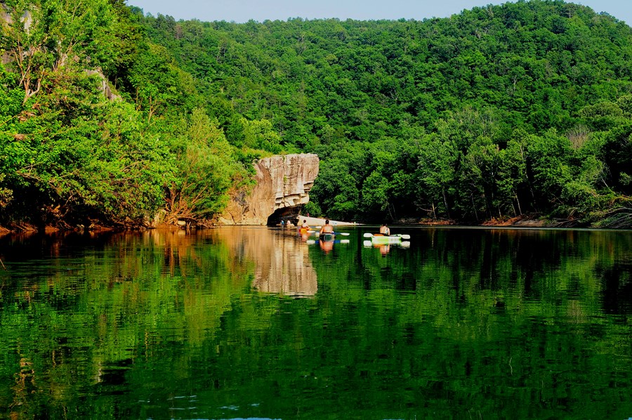
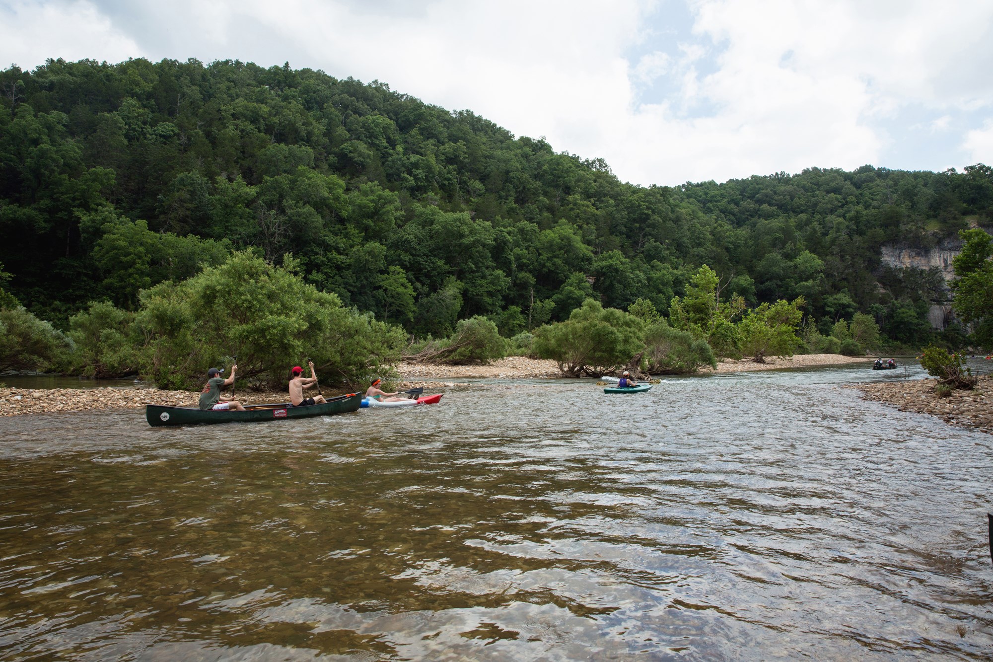
Once you arrive, prepare to journey from running rapids to quiet pools while surrounded by massive bluffs as you cruise through the Ozark Mountains down to the White River.
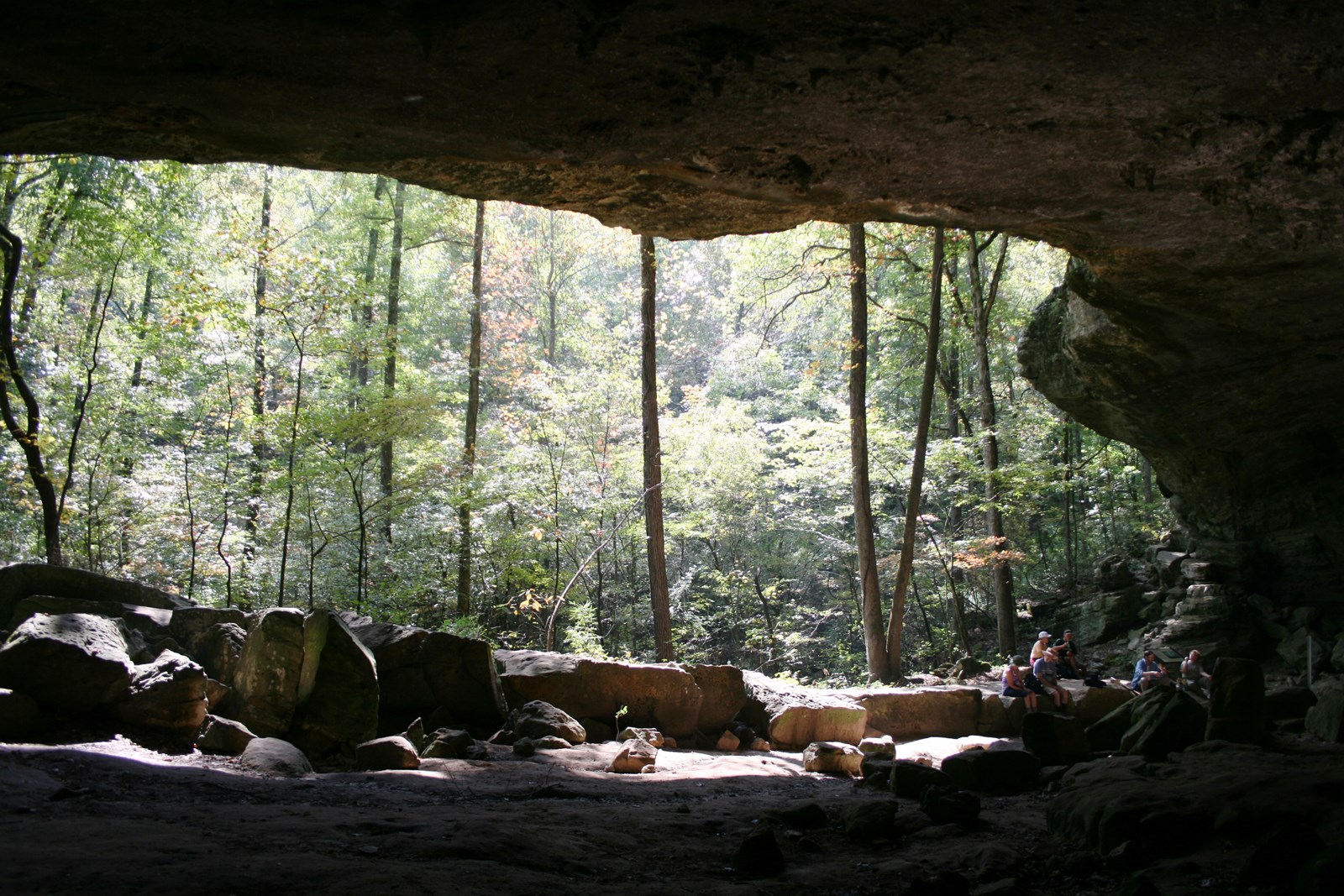 Photo: NPS Photo
Buffalo National River
Established in 1972, Buffalo National River flows freely for 135 miles and is one of the few remaining undammed rivers in the lower 48 states.
- LocationSt. Joe, AR
- Entrance No fee listed
- HoursOpen 24 hours, daily
-
 Weather now89°F Sunny
- Alerts 2 active alerts
Overview
Topics
- Animals
- Archeology
- Birds
- Caves, Caverns and Karst
- Elk
- Fire
- Forests and Woodlands
- Geology
2 more topics
- River and Riparian
- Watersheds
Alerts (2)
Park ClosureSouth Woolum Road Closed, Alternate Route Available
In the interest of safety, the South Woolum Road has been closed. The Woolum launch and campground remain open.
InformationReservations Only at Buffalo Point - Starting March 15, 2027 Starting March 15, 2027, reservations will be required for all campsites at Buffalo Point Campground, including A & E Lo… Read more
Starting March 15, 2027, reservations will be required for all campsites at Buffalo Point Campground, including A & E Loops. Reservations must be made through Recreation.gov (www.recreation.gov) or by calling 877-444-6777. Reservations can be made the same day or up to six months in advance. Please note that cell phone service is unreliable in these areas, so it is strongly recommended to make your reservation before arriving at the campground.
Things to Do
37 experiences from the National Park Service. Check details on NPS.gov before you go.
-
Hemmed-in Hollow Falls
Hemmed-In Hollow Falls
Learn more about Hemmed-in Hollow Falls on NPS.gov (opens in a new tab) -
Hike Shine Eye to Gilbert
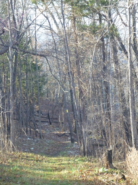
Trail is along the bluffs of the river from Hwy 65 to Gilbert.
Learn more about Hike Shine Eye to Gilbert on NPS.gov (opens in a new tab) -
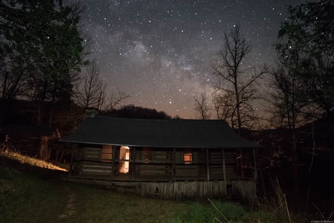
Hike the Beaver Jim Villines Homestead Trail
This short interpretive loop begins at the Ponca Access of the Buffalo River near the intersection of Hwy. 43 and 74. Walk across the low-water bridge (when passable) and follow signs up the hill…
Learn more about Hike the Beaver Jim Villines Homestead Trail on NPS.gov (opens in a new tab) -
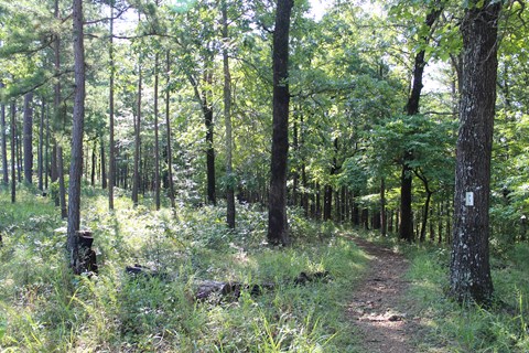
Hike the Buffalo Point Campground Trails
The Buffalo Point Campground Trails give campers, day hikers, and leashed dogs a chance to stretch their legs between the campground and the historic cabin area at Buffalo Point. Hike through a mix…
Learn more about Hike the Buffalo Point Campground Trails on NPS.gov (opens in a new tab) -
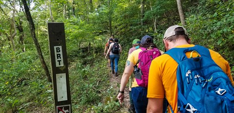
Hike the Buffalo River Trail - Boxley to Pruitt
The Buffalo River Trail (BRT) winds along the bluffs and ridgelines on the south side of the river, traversing the Ponca Wilderness past scenic overlooks, old home sites, and cascading creeks. This…
Learn more about Hike the Buffalo River Trail - Boxley to Pruitt on NPS.gov (opens in a new tab) -
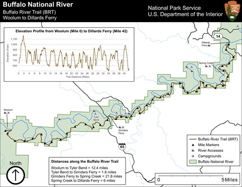
Hike the Buffalo River Trail - Woolum to Dillards Ferry
A long and difficult hike, the Buffalo River Trail between Woolum and Dillards Ferry stretches a majority of the middle district of Buffalo National River.
Learn more about Hike the Buffalo River Trail - Woolum to Dillards Ferry on NPS.gov (opens in a new tab) -
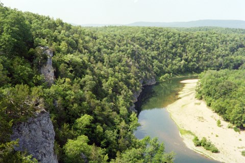
Hike the Buffalo River Trail - Woolum to Tyler Bend
The Buffalo River Trail follows along the south side of the river from Woolum to Tyler Bend for a little more than 11 miles.
Learn more about Hike the Buffalo River Trail - Woolum to Tyler Bend on NPS.gov (opens in a new tab) -
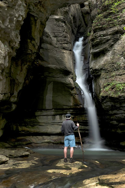
Hike the Cecil Cove Loop
This 7-mile loop winds through the wooded valley following Cecil Creek. The trail crosses Cecil Creek 5 times in the first 2 miles, so it may not be passable during rainy season due to high water…
Learn more about Hike the Cecil Cove Loop on NPS.gov (opens in a new tab) -
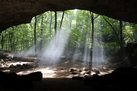
Hike the Indian Rockhouse Trail
A hike on the Indian Rockhouse reveals geologic formations commonly found on a limestone landscape and gives hikers an opportunity to explore locations where ancient peoples sought shelter.
Learn more about Hike the Indian Rockhouse Trail on NPS.gov (opens in a new tab) -
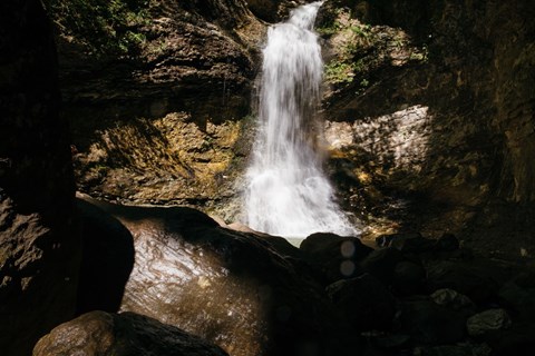
Hike the Lost Valley Trail
The Lost Valley Trail is an easy to moderate hike through a box canyon sculpted by Clark Creek. At 2.4 miles round-trip, this trail features caves, waterfalls, a Native American bluff shelter, and…
Learn more about Hike the Lost Valley Trail on NPS.gov (opens in a new tab) -
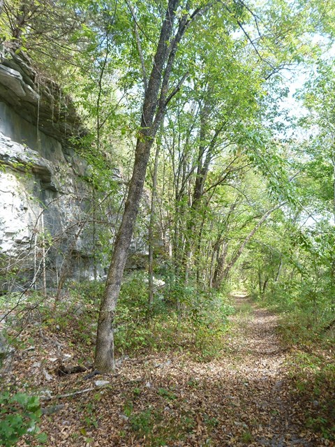
Hike the Old Railroad Trail
The Old Raildroad Trail follows the river east from Gilbert along the former route of the Missouri and North Arkansas Railroad.
Learn more about Hike the Old Railroad Trail on NPS.gov (opens in a new tab) -
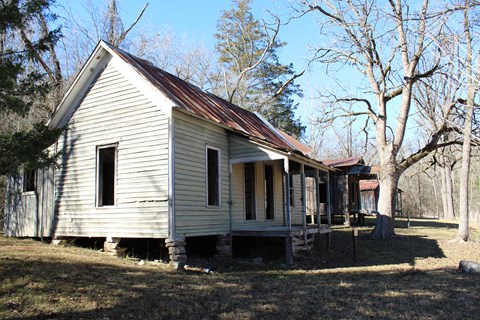
Hike the Rush Mine Level Trail and Morning Star Interpretive Loop
This .25 mile to 1.5 mile trail offers beautiful views of Rush Valley and gives hikers an understanding of the historic, mining, landscape. In the 1880s, zinc ore was discovered in the hills and…
Learn more about Hike the Rush Mine Level Trail and Morning Star Interpretive Loop on NPS.gov (opens in a new tab) -
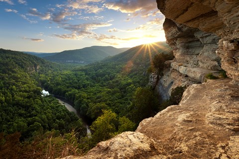
Hike to Big Bluff
The Centerpoint Trail is a strenuous hike that traverses the Ponca Wilderness, winding down an old wagon road descending nearly 1,300 ft. to the Buffalo River. The "Goat Trail" spurs off of…
Learn more about Hike to Big Bluff on NPS.gov (opens in a new tab) -
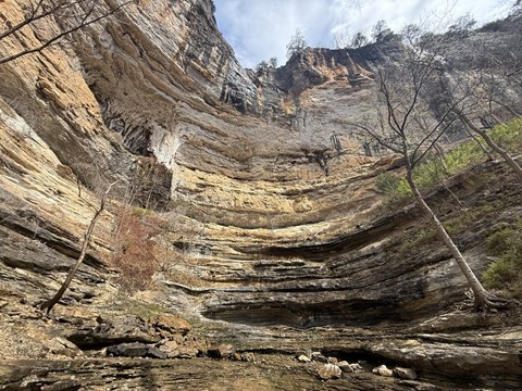
Hike to Hemmed-in Hollow
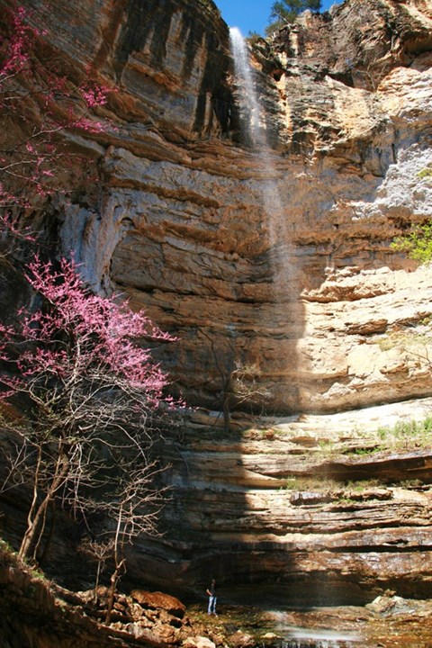
The picturesque Hemmed-in Hollow Falls cascades nearly 210 feet over rugged Ozark bluffs, making it the highest waterfall between the Rockies and the Appalachians. This waterfall only flows after a…
Learn more about Hike to Hemmed-in Hollow on NPS.gov (opens in a new tab) -
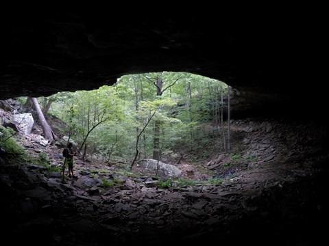
Hike to Hideout Hollow
The Hideout Hollow Trail leads to a rock shelter that was once inhabited by a group of World War I draft dodgers called The Slacker Gang. The Slacker Gang was made up of 9 young men from the Cecil…
Learn more about Hike to Hideout Hollow on NPS.gov (opens in a new tab) -
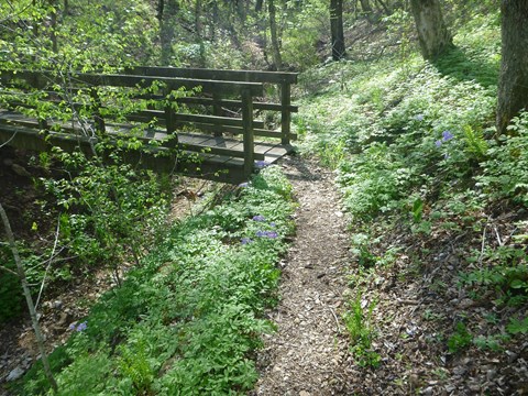
Hike Tyler Bend Trails
Hikers can plan loops of varying lengths to suit their time and ability.
Learn more about Hike Tyler Bend Trails on NPS.gov (opens in a new tab)
Showing 16 of 37
Load moreAll 27 activities in the park
Pick one to find other parks that offer it.
Camping
10 campgrounds listed on Recreation.gov. Check availability and current conditions before you go.
-

Buffalo Point
Reservable Campground
Buffalo Point is a convenient, fun-filled destination for families and adventurists of all types. It's perched along the Buffalo National River, providing exciting river…
Reserve on Recreation.gov- Hiking
- Fishing
- Boating
- Biking
Details
Overview
Buffalo Point is a convenient, fun-filled destination for families and adventurists of all types. It's perched along the Buffalo National River, providing exciting river sports and hiking opportunities. In peak season, a restaurant is open at the facility, serving up meals for those who want a break from preparing them.Recreation
The wild river is a gathering place for water activities. Many campers spend their days fishing, hiking, canoeing or kayaking. Evenings are ideal for gathering next to the fire to revamp for another great day out on the river.
Facilities
Buffalo Point offers campsites with water, electricity and even a classic pay telephone. It's the only area in the park with a restaurant, open daily from Memorial Day to Labor Day and on weekends only from mid-April to Memorial Day Weekend and Labor Day Weekend to mid-October.
Natural Features
The campground is set along Buffalo National River, one of the few free-flowing rivers remaining in the contiguous United States. The river runs 135 miles without dams and cuts through the Arkansas Ozarks and into the White River. The region is surrounded by droves of lush hardwood trees and grassy open meadows.Nearby Attractions
Two popular attractions within the Buffalo Point Area are the Indian Rockhouse Trail and the Rush Historic District. Rush was a zinc mining community until the zinc market collapsed and the settlement was deserted. Tours about the town's history are available. Buffalo Point is the former Buffalo River State Park developed in the 1930's as project of the Civilian Conservation Corps.
Blanchard Springs Caverns, an extraordinary living cave, is a one-hour drive from Buffalo Point.Charges & Cancellations
Please see the Recreation.gov Rules and Reservation Policies.
-
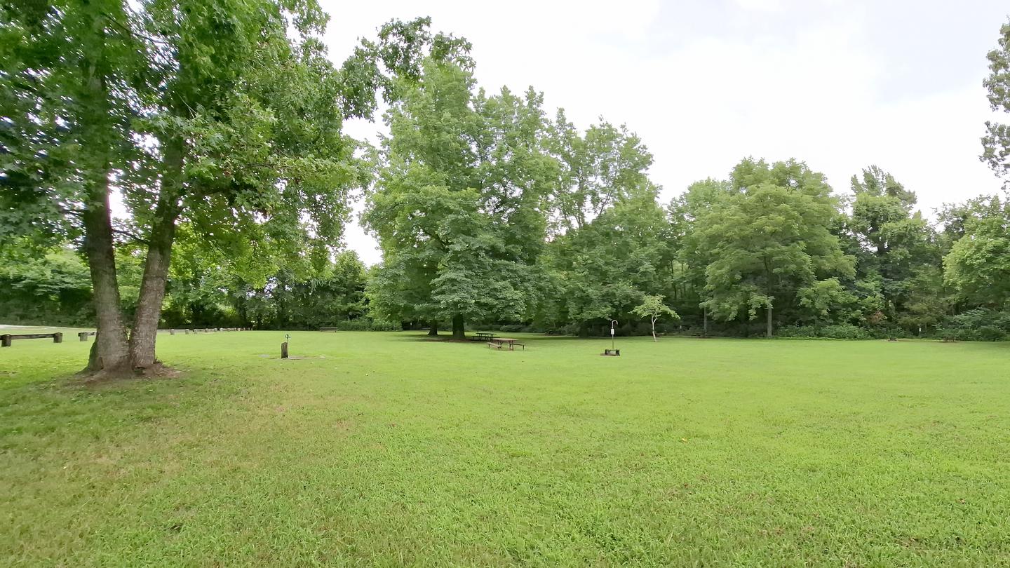
Carver Campground
Reservable Campground
Carver Campground is located in the Upper District of the Buffalo National River, and about 12 miles (19 km) east of Jasper. It has 8 tent-only sites. Drinking water is…
Reserve on Recreation.gov- Fishing
- Swimming
- Picnicking
- Canoeing
Details
Fees: Fees for the walk-in tent-only sites are $16 a night for up to 6 people per site.
Overview
Carver Campground is located in the Upper District of the Buffalo National River, and about 12 miles (19 km) east of Jasper. It has 8 tent-only sites. Drinking water is available when fees are collected from approximately March 15 - November 15. All sites are limited to 6 people per site, and each site is $16 per night. All sites must be reserved in advance. A vault restroom is available.
Recreation
Paddling conditions in the upper (westernmost) district of Buffalo National River are extremely dependent upon rainfall. On an average year, the upper river is only navigable by boat in the spring and early summer when consistent rainfall feeds into the watershed. Some sections on the upper end of the river are technical and should not be attempted by novices. For current paddling conditions, please check with an outfitter (visit our Guided Services web page ), call the Tyler Bend Visitor Center at (870) 439-2502, or check the USGS Buffalo River Floating Conditions web page.
Facilities
Carver has 8 reservable tent-only sites with potable water available from approximately March 15 through November 15 each year, but no electrical amenities. A vault restroom is available.
Natural Features
The Buffalo National River flows free over swift running rapids and quiet pools for its 135-mile (217 km) length. One of the few remaining rivers in the lower 48 states without dams, the Buffalo cuts its way through massive limestone bluffs traveling eastward through the Arkansas Ozarks and into the White River.
Nearby Attractions
Carver is conveniently situated between the Upper and Middle Districts of the Buffalo River, offering access to many great day hiking and overnight backcountry destinations in the park. Additionally, access to the Gene Rush Wildlife Management Area is immediately across the river from Carver.
Charges & Cancellations
If I book this reservation today, what are my options to change or cancel?
Please remember that reservations at these facilities prevent other visitors from using these sites. Planned changes to your stay should be made as far in advance as possible. You can make changes to your reservation in My Reservations.
Changes
If your new stay dates are completely different from your original stay dates, there is a $10 change fee (per reserved site). There are no additional fees for:
Adding or removing nights to your stay.
Changing to a different campsite.
Balances will adjust based on your new stay's nightly rate.
Cancellations
You can cancel the reservation any time before the date of your scheduled arrival. You will receive a refund for your stay, minus the following fees:
$10 cancellation fee
Any reservation fees (only if paid when booking)
Any previous change fees
Late cancellation penalties may also apply:
What is “Late”?
For individual campsites, a late cancellation applies starting from midnight 1 calendar day before your scheduled check-in. For cabins and group sites, a late cancellation applies starting from midnight 14 calendar days or fewer before your scheduled check-in.
Late Fee
In addition to the fees listed above, a late cancellation will also subtract your first night's recreation use fee from any refund owed. For additional details, please visit here.
Changes and Cancellations
-
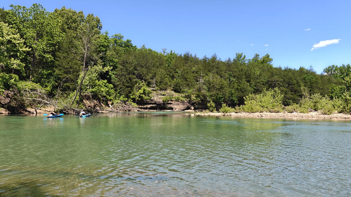
Erbie Campground
Reservable Campground
The Erbie campground is situated along the Buffalo River under the towering a bluff. There are five group sites available, walk-in only, for 10 to 25 people…
Reserve on Recreation.gov- Hiking
- Fishing
- Swimming
- Picnicking
Details
Fees: Fees for the drive-in and walk-in tent-only sites are $20 per night for up to 6 people per site. All group sites are $50 per night for up to 25 people.
Overview
The Erbie campground is situated along the Buffalo River under the towering a bluff. There are five group sites available, walk-in only, for 10 to 25 people. Additionally, there are 14 drive-in and 13 walk-in tent sites. All sites are available by reservation only.
Recreation
Paddling conditions in the upper (westernmost) district of Buffalo National River are extremely dependent upon rainfall. On an average year, the upper river is only navigable by boat in the spring and early summer when consistent rainfall feeds into the watershed. Some sections on the upper end of the river are technical and should not be attempted by novices. For current paddling conditions, please check with an outfitter (visit our Guided Services web page ), call the Tyler Bend Visitor Center at 870-439-2502, or check the Buffalo National River Float Guide Dashboard
Facilities
Erbie has 5 group sites (maximum of 25 people per group site), 14 drive-in sites suitable for tents or RVs (maximum of 6 people per site), and 13 walk-in tent only sites (maximum of 6 people per site). All sites are available by reservations only. There are no electrical amenities or water hookups, but flush restrooms and water spigots are available from approximately March 15 through November 15 each year.
Natural Features
The Buffalo National River flows free over swift running rapids and quiet pools for its 135-mile (217 km) length. One of the few remaining rivers in the lower 48 states without dams, the Buffalo cuts its way through massive limestone bluffs traveling eastward through the Arkansas Ozarks and into the White River.
Nearby Attractions
There are numerous historic buildings near the Erbie Campground. The Buffalo River Trail runs through Erbie and offers great day hiking or overnight backcountry opportunities. Visit the park's Hiking Trails web page for more information.
-
Kyles Landing Campground
Reservable Campground
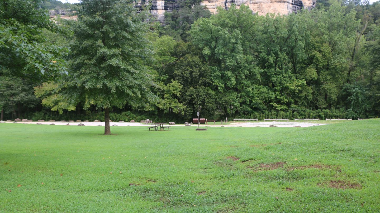
Kyles Landing Campground is situated along the Buffalo River under towering and picturesque bluffs. The campground offers 33 walk-in tent sites. All sites are available…
Reserve on Recreation.gov- Hiking
- Fishing
- Swimming
- Picnicking
Details
Fees: Fees for the walk-in tent-only sites are $20 per night for up to 6 people per site.
Overview
Kyles Landing Campground is situated along the Buffalo River under towering and picturesque bluffs. The campground offers 33 walk-in tent sites. All sites are available by reservation only. Kyles Landing Campground is located about 5 miles west of Jasper, off of Highway 74. The approximately 3-mile gravel road to get down to Kyles Landing is very steep and only recommended for 4WD vehicles.
Recreation
Paddling conditions in the upper (westernmost) district of Buffalo National River are extremely dependent upon rainfall. On an average year, the upper river is only navigable by boat in the spring and early summer when consistent rainfall feeds into the watershed. Some sections on the upper end of the river are technical and should not be attempted by novices. For current paddling conditions, please check with an outfitter (visit our Guided Services web page ), call the Tyler Bend Visitor Center at 870-439-2502, or check the Buffalo National River Float Guide Dashboard
Facilities
Kyles Landing has 33 tent only sites (maximum of 6 people per site). All sites are available by reservations only. There are no electrical amenities or water hookups, but flush restrooms and water spigots are available from approximately March 15 through November 15 each year.
Natural Features
The Buffalo National River flows free over swift running rapids and quiet pools for its 135-mile (217 km) length. One of the few remaining rivers in the lower 48 states without dams, the Buffalo cuts its way through massive limestone bluffs traveling eastward through the Arkansas Ozarks and into the White River.
Nearby Attractions
The Buffalo River Trail runs through Kyles Landing and offers great day hiking or overnight backcountry opportunities. Visit the park's Hiking Trails web page for more information.
Show 6 more campgrounds
-
Ozark Campground
Reservable Campground
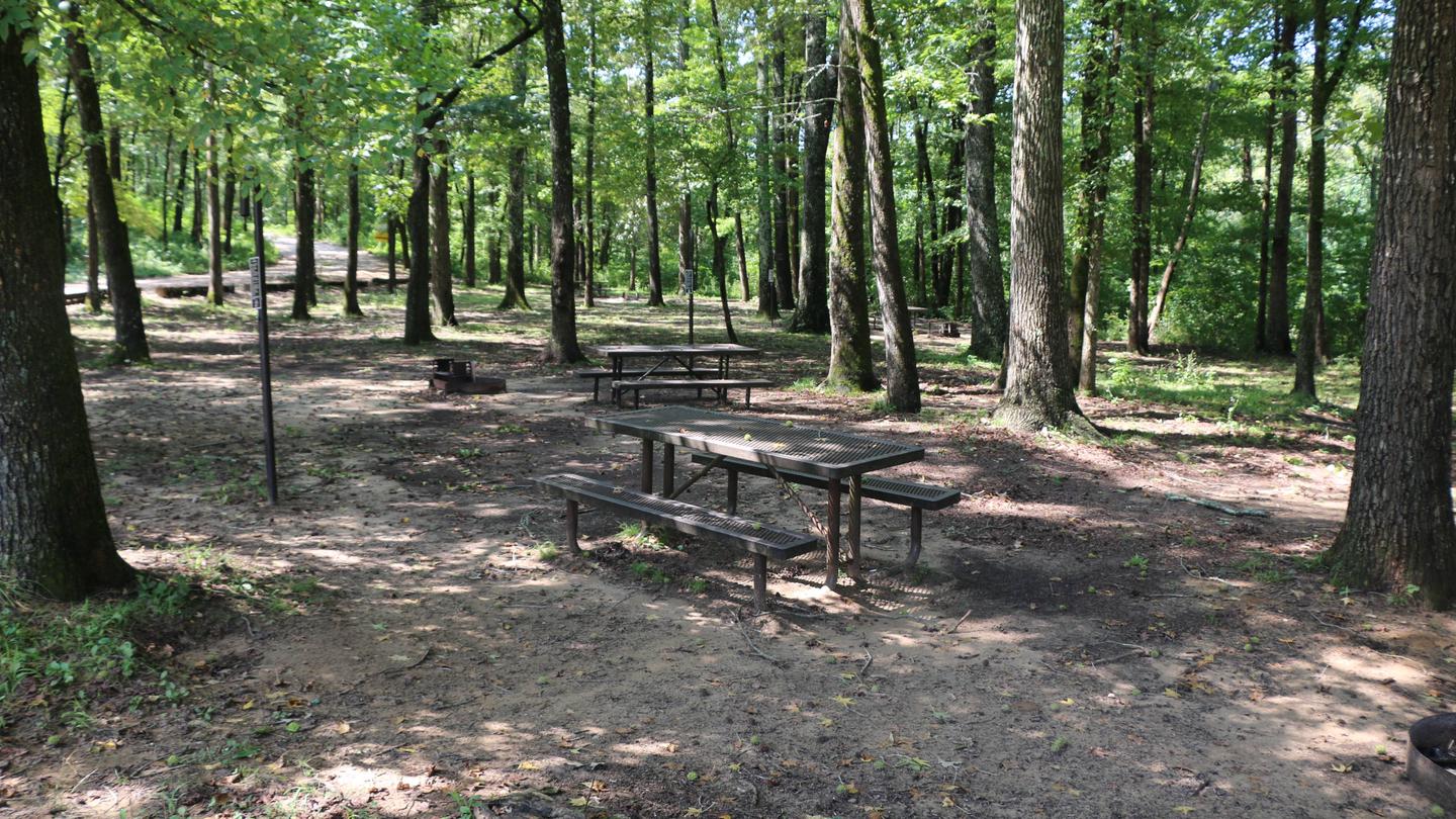
Nestled near the towering bluffs of the scenic Buffalo River, Ozark Campground is the perfect destination for a relaxing day outdoors. Whether you're planning a…
Reserve on Recreation.gov- Hiking
- Fishing
- Paddling
- Swimming
Details
Fees: Fees for all sites (non-electric) are $20 a night for up to 6 people per site.
Overview
Nestled near the towering bluffs of the scenic Buffalo River, Ozark Campground is the perfect destination for a relaxing day outdoors. Whether you're planning a laid-back picnic or looking for a spot to enjoy the dark night sky, you'll enjoy fresh air, beautiful views, and easy access to one of Arkansas’s most beloved rivers.
At Ozark Campground visitors that bring their own gear can enjoy:
Canoeing
Kayaking
Tubing
Swimming
Fishing
Located in the center of the campground, the Ozark Pavilion provides a convenient gathering space for groups. The day-use pavilion is available for $25/day. Amenities include:
Grills available for public use
Restrooms
Electrical access
Nearby water access
Multiple picnic tables under shelter
Whether you're organizing a family reunion, a group outing, or simply a weekend escape, Ozark Campground offers both relaxation and recreation in a beautiful natural setting.
Recreation
The Buffalo River Trail can be accessed behind Site 31 and next to the camp host site. The scenic trail spans a massive 36.5 miles (59 km) of the Buffalo River from Boxely to Pruitt and is ideal for hiking or backpacking. Peak season for canoeing, kayaking and tubing is spring to early summer.
Paddling conditions in the upper (westernmost) district of Buffalo National River are extremely dependent upon rainfall. On an average year, the upper river is only navigable by boat in the spring and early summer when consistent rainfall feeds into the watershed. Some sections on the upper end of the river are technical and should not be attempted by novices. For current paddling conditions, please check with an outfitter (visit our Guided Services web page ), call the Tyler Bend Visitor Center at 870-439-2502, or check the Buffalo National River Float Guide Dashboard
Facilities
Ozark has 31 drive-up tent sites. There are no electrical amenities or water hookups at the tent sites, but flush restrooms and water spigots are available from approximately March 15 through November 14 each year. Available by reservation, the covered pavilion seats up to 100 people and electricity is available.
Natural Features
The campground and pavilion are located along the Buffalo National River with views of lush forests and high, riverside limestone bluffs. It is one of the few free-flowing rivers remaining in the contiguous U.S., with 135 miles (217 km) of undammed waters. It cuts through the Arkansas Ozarks to reach its final destination at the White River.
Nearby Attractions
The campground and pavilion are located along the Buffalo National River with views of lush forests and high, riverside limestone bluffs. It is one of the few free-flowing rivers remaining in the contiguous U.S., with 135 miles (217 km) of undammed waters. It cuts through the Arkansas Ozarks to reach its final destination at the White River.
Contact Info
For facility specific information, please call (870) 439-2502.Charges & Cancellations
Please visit the Recreation.gov Rules and Reservation Policies page.
-
Rush Campground
Reservable Campground
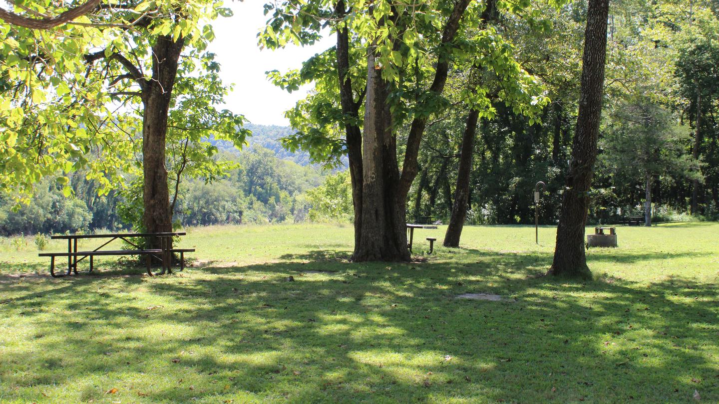
Rush Campground is located in the Lower District of the Buffalo National River, and about 17 miles (27.4 km) southeast of Yellville. It has 12 tent-only sites. Drinking…
Reserve on Recreation.gov- Hiking
- Fishing
- Paddling
- Swimming
Details
Fees: Fees for the walk-in tent-only sites are $16 a night for up to 6 people per site.
Overview
Rush Campground is located in the Lower District of the Buffalo National River, and about 17 miles (27.4 km) southeast of Yellville. It has 12 tent-only sites. Drinking water is available when fees are collected from approximately March 15 through November 15. All sites are limited to 6 people per site, and each site is $16 per night. All sites must be reserved in advance. A vault restroom is available year-round.
Recreation
The Lower River District allows for extended seasons for kayaking, canoeing and tubing. If there's enough rain, the river is floatable year-round.
For hikers and history buffs, the 1.5-mile Rush Mine Level Trail and 0.25-mile Morning Star Loop offer beautiful views of Rush Valley and gives hikers an understanding of the historic mining and landscape. In the 1880s, zinc ore was discovered in the hills and claims were staked out along Rush Valley and neighboring Clabber Creek. Eventually, a community of homes and businesses developed along Rush Creek and endured until the 1960s. Come and explore this unique history as you hike Rush Mountain.
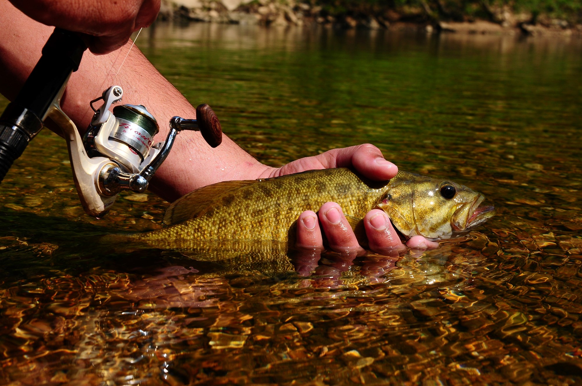
Additionally, small-mouth bass, catfish and sunfish are popular fish to catch on the Buffalo River, but visitors should be aware that an Arkansas fishing license is required to fish anywhere on the river. For current paddling conditions, please check with an outfitter (visit our Guided Services web page ), call the Tyler Bend Visitor Center at 870-439-2502, or check the Buffalo National River Float Guide Dashboard
Facilities
Rush has 12 reservable tent-only sites with potable water available from approximately March 15 through November 15 each year, but no electrical amenities. A vault restroom is available year-round.
Natural Features
The Buffalo National River flows free over swift running rapids and quiet pools for its 135-mile (217 km) length. One of the few remaining rivers in the lower 48 states without dams, the Buffalo cuts its way through massive limestone bluffs traveling eastward through the Arkansas Ozarks and into the White River.
Contact Info
For facility specific information, please call (870) 449-4311.Nearby Attractions
Rush is located in the Lower District of the Buffalo River, offering access to Clabber Creek, and many great day hiking destinations in the park.
Charges & Cancellations
If I book this reservation today, what are my options to change or cancel?
Please remember that reservations at these facilities prevent other visitors from using these sites. Planned changes to your stay should be made as far in advance as possible. You can make changes to your reservation in My Reservations.
Changes
If your new stay dates are completely different from your original stay dates, there is a $10 change fee (per reserved site). There are no additional fees for:
Adding or removing nights to your stay.
Changing to a different campsite.
Balances will adjust based on your new stay's nightly rate.
Cancellations
You can cancel the reservation any time before the date of your scheduled arrival. You will receive a refund for your stay, minus the following fees:
$10 cancellation fee
Any reservation fees (only if paid when booking)
Any previous change fees
Late cancellation penalties may also apply:
What is “Late”?
For individual campsites, a late cancellation applies starting from midnight 1 calendar day before your scheduled check-in. For cabins and group sites, a late cancellation applies starting from midnight 14 calendar days or fewer before your scheduled check-in.
Late Fee
In addition to the fees listed above, a late cancellation will also subtract your first night's recreation use fee from any refund owed. For additional details, please visit here.
Changes and Cancellations
-
Rush Campground
Not reservable on Recreation.gov Campground
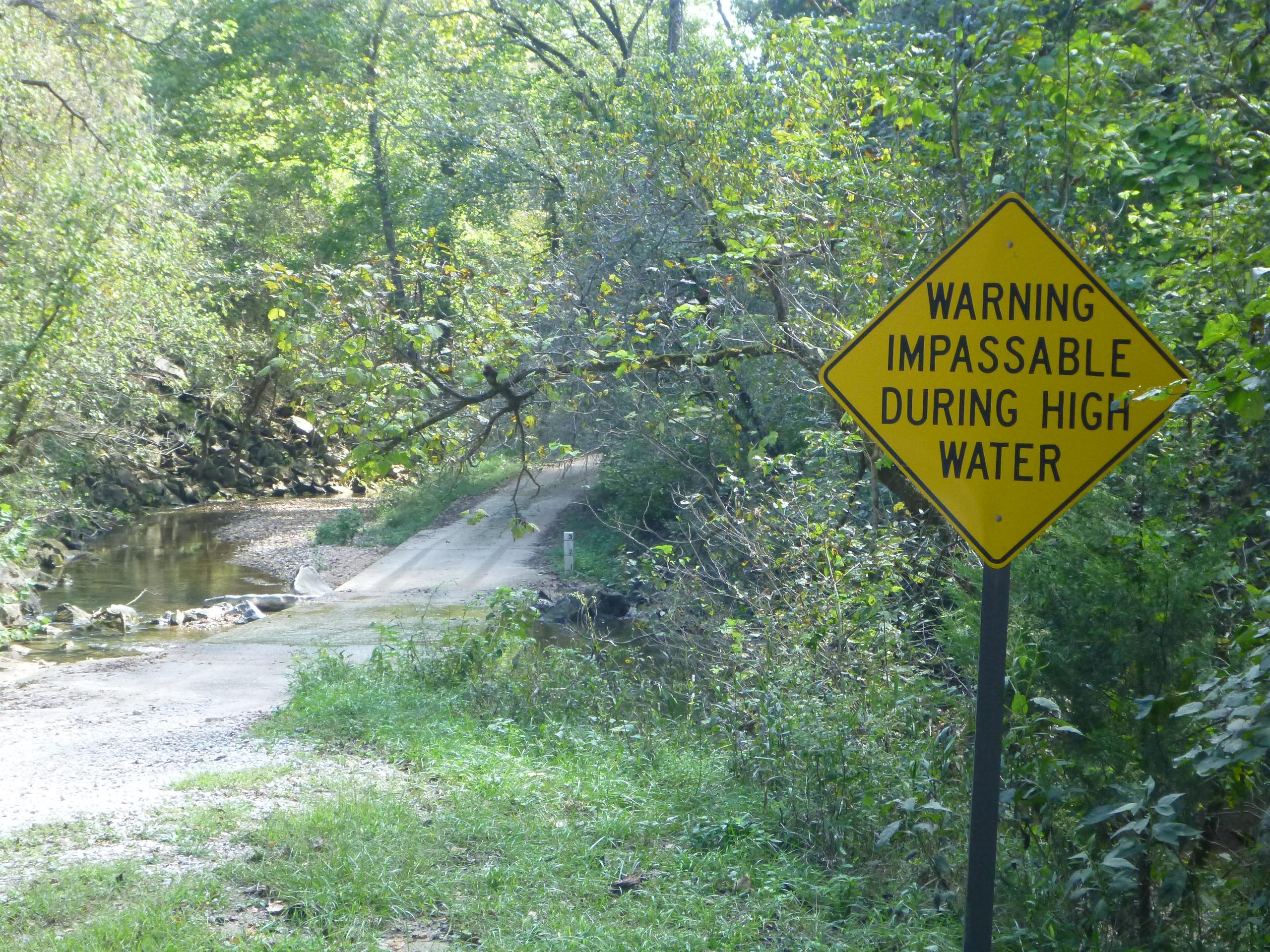
Rush Campground has 12 tent only sites with no electrical amenities and no flush restrooms. Reservations are required to camp at Rush Campground through recreation.gov…
Details
Rush Campground has 12 tent only sites with no electrical amenities and no flush restrooms. Reservations are required to camp at Rush Campground through recreation.gov or by calling 877-444-6777. Drinking water is available when fees are collected from approximately March 15 - November 14. It is free to camp at Rush in the winter. All sites are limited to 6 people per site, and each site is $16 per night. -
Spring Creek Campground
Not reservable on Recreation.gov Campground
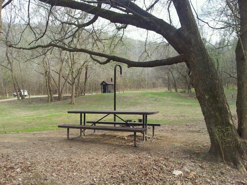
Spring Creek Campground is a first come, first serve campground near Harriet, Arkansas. Spring Creek has 12 tent only sites with no electrical amenities, no flush…
Details
Spring Creek Campground is a first come, first serve campground near Harriet, Arkansas. Spring Creek has 12 tent only sites with no electrical amenities, no flush restrooms, and no water. -
Steel Creek Campground
Reservable Campground
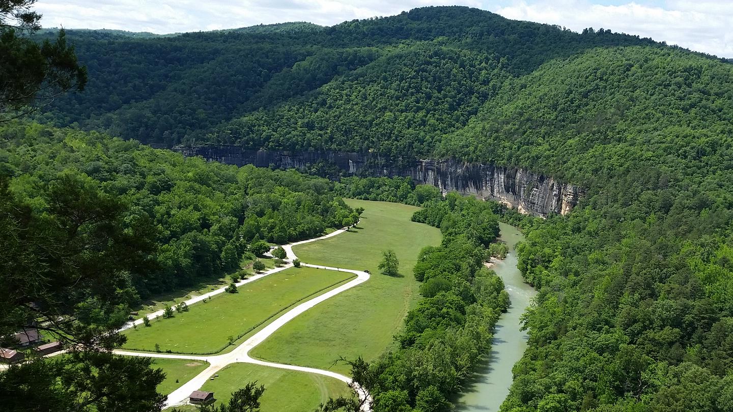
Steel Creek Campground is situated along the Buffalo River under the towering and picturesque Roark Bluff. One section of the campground offers 26 walk-in tent sites and…
Reserve on Recreation.gov- Hiking
- Fishing
- Swimming
- Picnicking
Details
Fees: Fees for the walk-in tent sites and primitive horse-only sites (non-electric) are $20 a night for up to 6 people and per site. Horse-only sites are allowed up to 6 stock per site.
Overview
Steel Creek Campground is situated along the Buffalo River under the towering and picturesque Roark Bluff. One section of the campground offers 26 walk-in tent sites and another section of the campground offers 13 sites for those camping with horses. All sites are available by reservation only. Steel Creek is located about 3 miles (5 km) east of Ponca, just off Highway 74.
Recreation
Paddling conditions in the upper (westernmost) district of Buffalo National River are extremely dependent upon rainfall. On an average year, the upper river is only navigable by boat in the spring and early summer when consistent rainfall feeds into the watershed. Some sections on the upper end of the river are technical and should not be attempted by novices. For current paddling conditions, please check with an outfitter (visit our Guided Services web page ), call the Tyler Bend Visitor Center at 870-439-2502, or check the Buffalo National River Float Guide Dashboard
Facilities
Steel Creek has 26 tent only sites and 13 sites for campers with horses/stock animals (six people and four stock animals allowed per site). All sites are available by reservations only. There are no electrical amenities or water hookups, but flush restrooms and water spigots are available from approximately March 15 through November 15 each year.
Natural Features
The Buffalo National River flows free over swift running rapids and quiet pools for its 135-mile (217 km) length. One of the few remaining rivers in the lower 48 states without dams, the Buffalo cuts its way through massive limestone bluffs traveling eastward through the Arkansas Ozarks and into the White River.
Contact Info
For facility specific information, please call (870) 439-2502.Nearby Attractions
The Buffalo River Trail runs through Steel Creek and offers great day hiking or overnight backcountry opportunities.
Boxley Valley is nearby and is home to Lost Valley, an easy to moderate trail that leads hikers past geologic and water formations. Visit the park's Hiking Trails web page for more information..
Charges & Cancellations
-

Tyler Bend Campground
Reservable Campground
Campers will delight in the picturesque river views at Tyler Bend. Located 11 miles (18 km) northwest of Marshall, Arkansas, Tyler Bend is set on a quiet, peaceful…
Reserve on Recreation.gov- Hiking
- Fishing
- Swimming
- Canoeing
Details
Fees: Fees for the walk-in sites and drive-in sites (non-electric) are $20 a night for up to 6 people per site. Fees for the Group Tent Only Area (non-electric) are $50 a night for 10 to 25 people per group site.
Overview
Campers will delight in the picturesque river views at Tyler Bend. Located 11 miles (18 km) northwest of Marshall, Arkansas, Tyler Bend is set on a quiet, peaceful section of the great Buffalo National River. Known as the middle river region, the campground offers tranquil views of the river beside pastures.
Recreation
Small-mouth bass, catfish and sunfish are the most popular fish to catch on the Buffalo River, but visitors should be aware that an Arkansas fishing license is required to fish anywhere on the river. The middle river location also allows for extended seasons for kayaking and tubing. If there's enough rain, the sports can go through mid- to late summer. Get a dose of history by hiking to the Collier Homestead, a restored Ozark dwelling from the 1930's. The homestead remembers one of the homes built by settlers in response to the Homestead Act of 1862.
For current paddling conditions, please check with an outfitter (visit our Guided Services web page ), call the Tyler Bend Visitor Center at 870-439-2502, or check the Buffalo National River Float Guide Dashboard
Facilities
The Tyler Bend Visitor Center is open year-round and has interesting exhibits on the history of flora and fauna in the Buffalo National River area. It's the primary visitor center for the region and provides several educational programs in the auditorium. The campground has 10 walk-in and 28 drive-in sites available, plus a day-use pavilion and five group sites.Natural Features
The Buffalo National River flows free over swift running rapids and quiet pools for its 135-mile (217 km) length. One of the few remaining rivers in the lower 48 states without dams, the Buffalo cuts its way through massive limestone bluffs traveling eastward through the Arkansas Ozarks and into the White River.
Nearby Attractions
The Buffalo River Trail is accessible from the Collier trailhead parking area. This trail joins the Ozark Highlands Trail at Woolum, 14 miles (22.5 km) upstream from Tyler Bend.
Charges & Cancellations
Facilities & Services
Find visitor services available in the park. Check current hours and availability before you go.
Other Visitor Services
-
Buffalo Point Visitor Contact Station
Facility
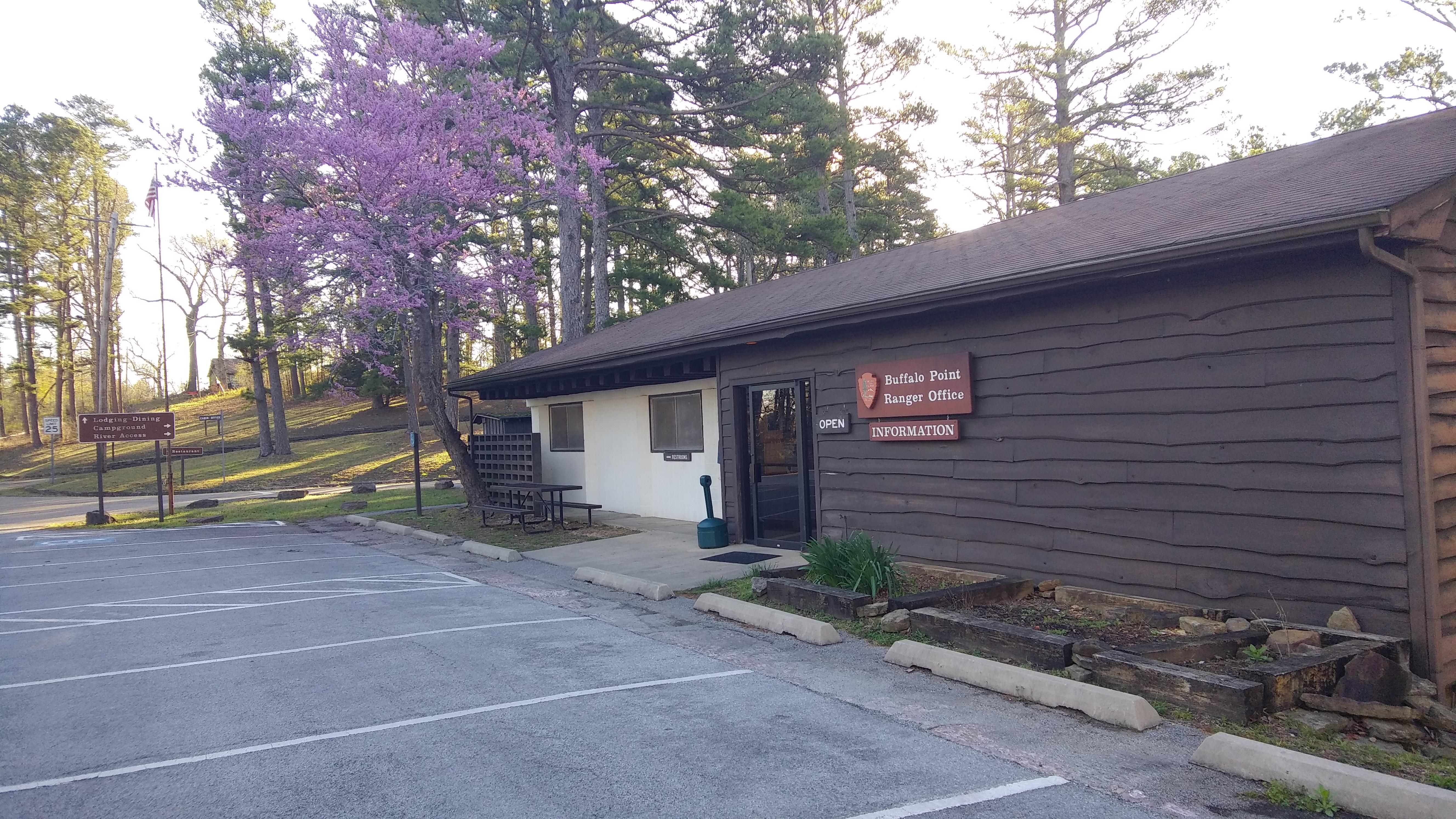
The Buffalo Point Visitor Contact Station is located about 3 miles off of Highway 14, 14 miles south of Yellville. Signs on Highway 14 indicate the turn for Buffalo…
2229 Highway 268 East, Yellville, AR (870) 449-4311 Directions
Details
The Buffalo Point Visitor Contact Station is located about 3 miles off of Highway 14, 14 miles south of Yellville. Signs on Highway 14 indicate the turn for Buffalo Point. -
Carver Campground
Facility
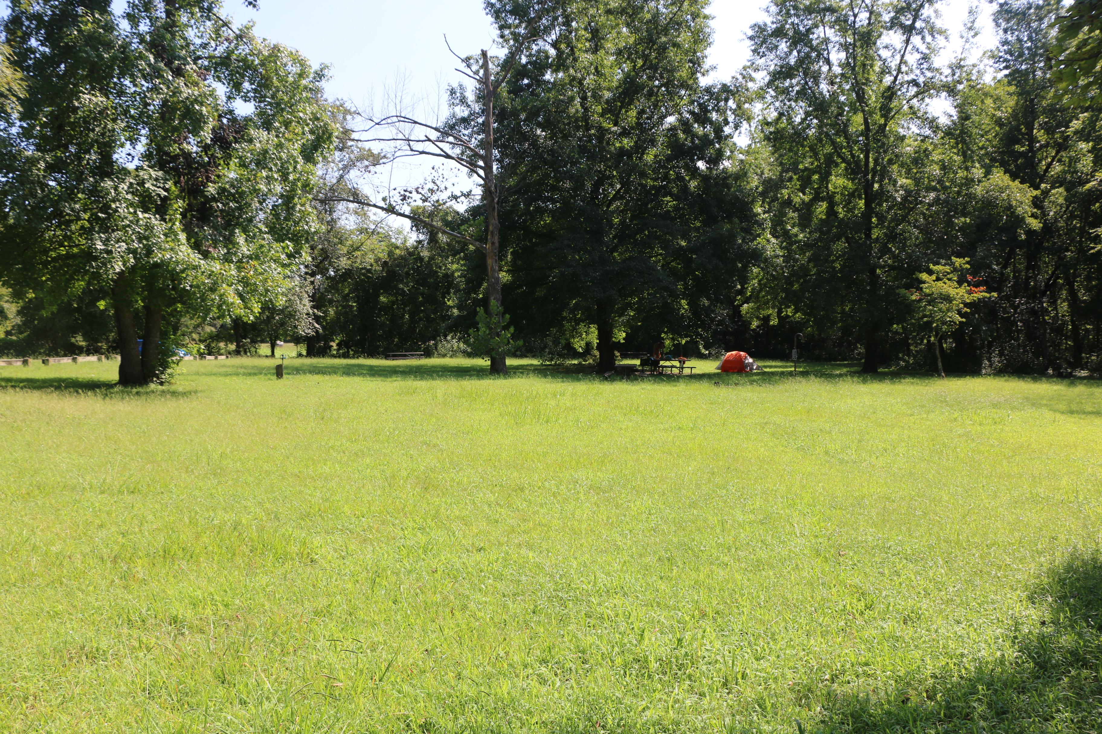
Carver Campground has 8 tent-only sites. There are no electrical amenities, but flush restrooms and water are available from approximately March 15 through November 14…
St. Joe, AR (870) 439-2502 Directions
Details
Carver Campground has 8 tent-only sites. There are no electrical amenities, but flush restrooms and water are available from approximately March 15 through November 14. Water and a vault restroom is available. All sites are available for reservation at recreation.gov or by calling 1-877-444-6777. Reservations can be made same day and up to 6 months in advance. -
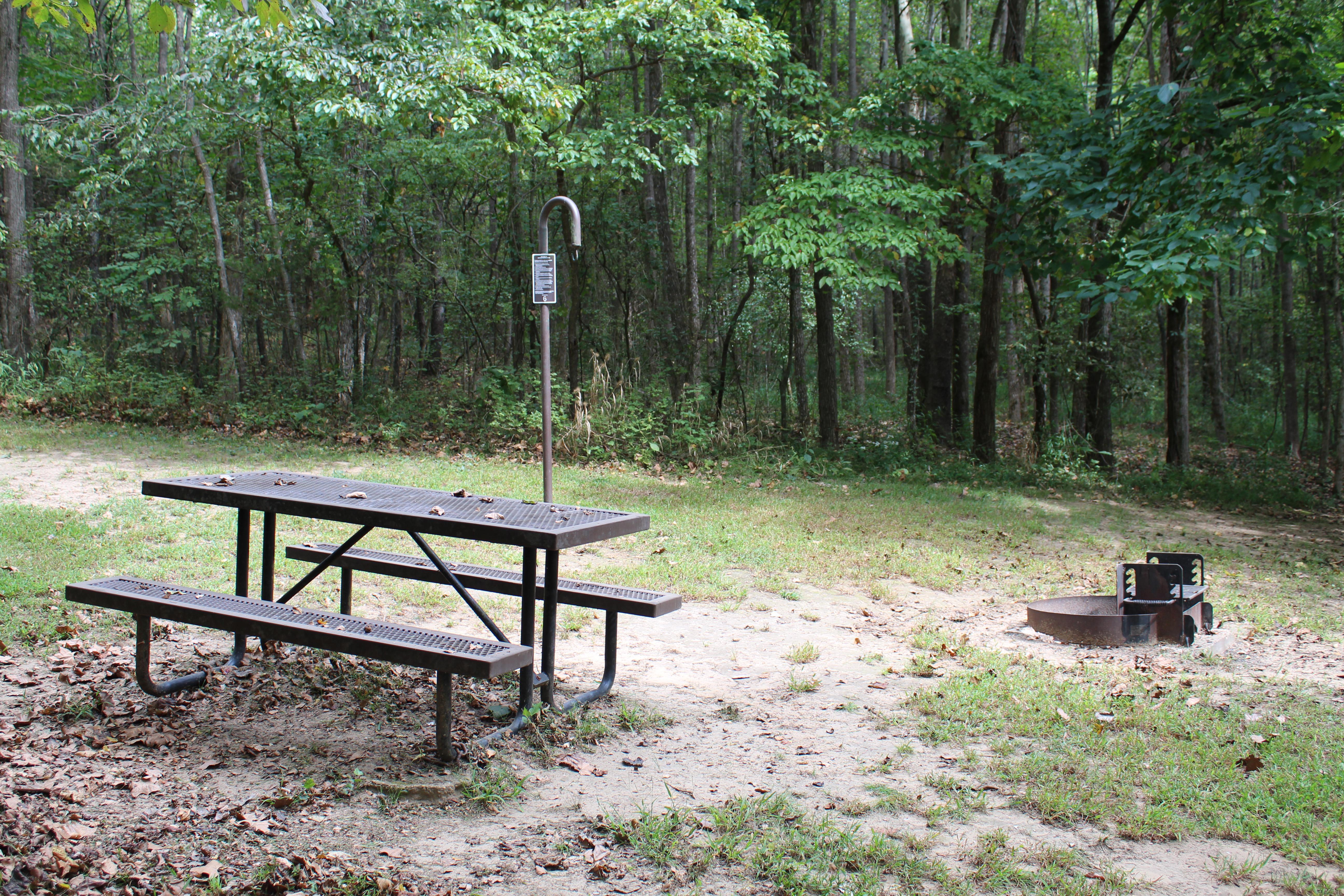
South Maumee
Facility
South Maumee Campground is a campground in the lower district of the Buffalo River. There are no amenities at South Maumee. There are no designated sites. A vault…
St. Joe, AR (870) 439-2502 Directions
Details
South Maumee Campground is a campground in the lower district of the Buffalo River. There are no amenities at South Maumee. There are no designated sites. A vault restroom is available. Fees are not charged at Maumee South. -
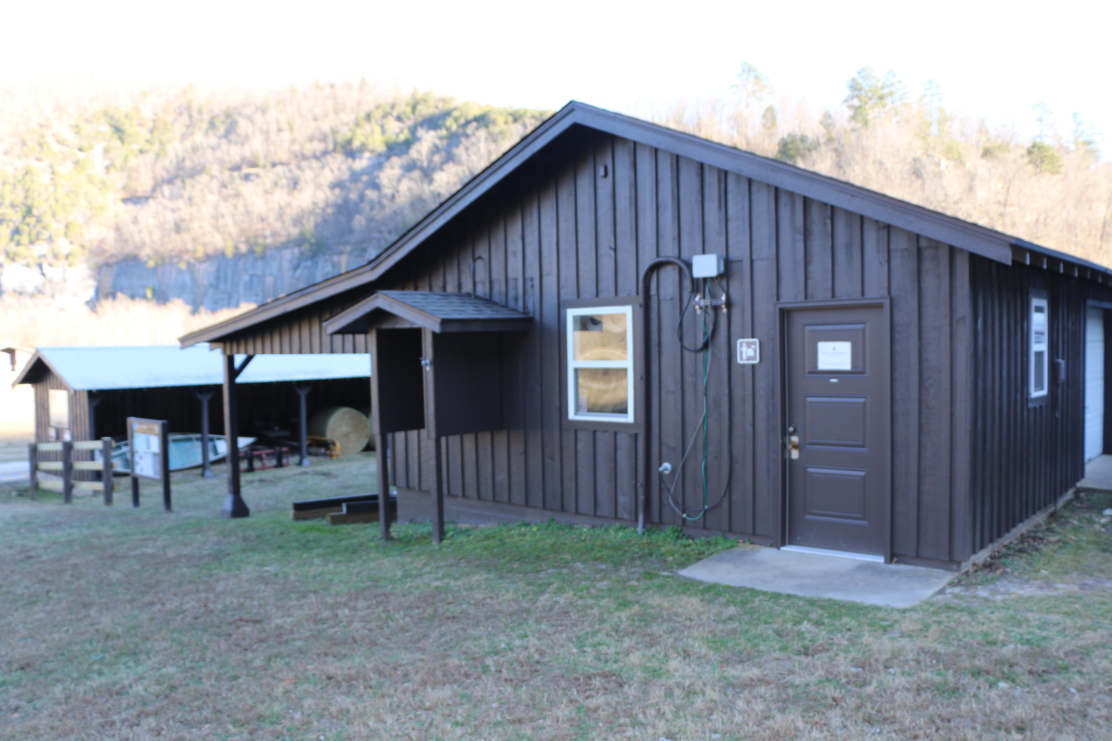
Steel Creek Ranger Station
Facility
Steel Creek Ranger Station is open in the summer on an intermittent basis as rangers are available. The Steel Creek Ranger Station is located in the Valley Y Ranch…
386 NC 2104, Jasper, AR (870) 861-2570 Directions
Details
Steel Creek Ranger Station is open in the summer on an intermittent basis as rangers are available. The Steel Creek Ranger Station is located in the Valley Y Ranch Historic Area of Steel Creek Campground. Please call before you visit to ensure that staff will be available to assist you: 870-861-2570. -
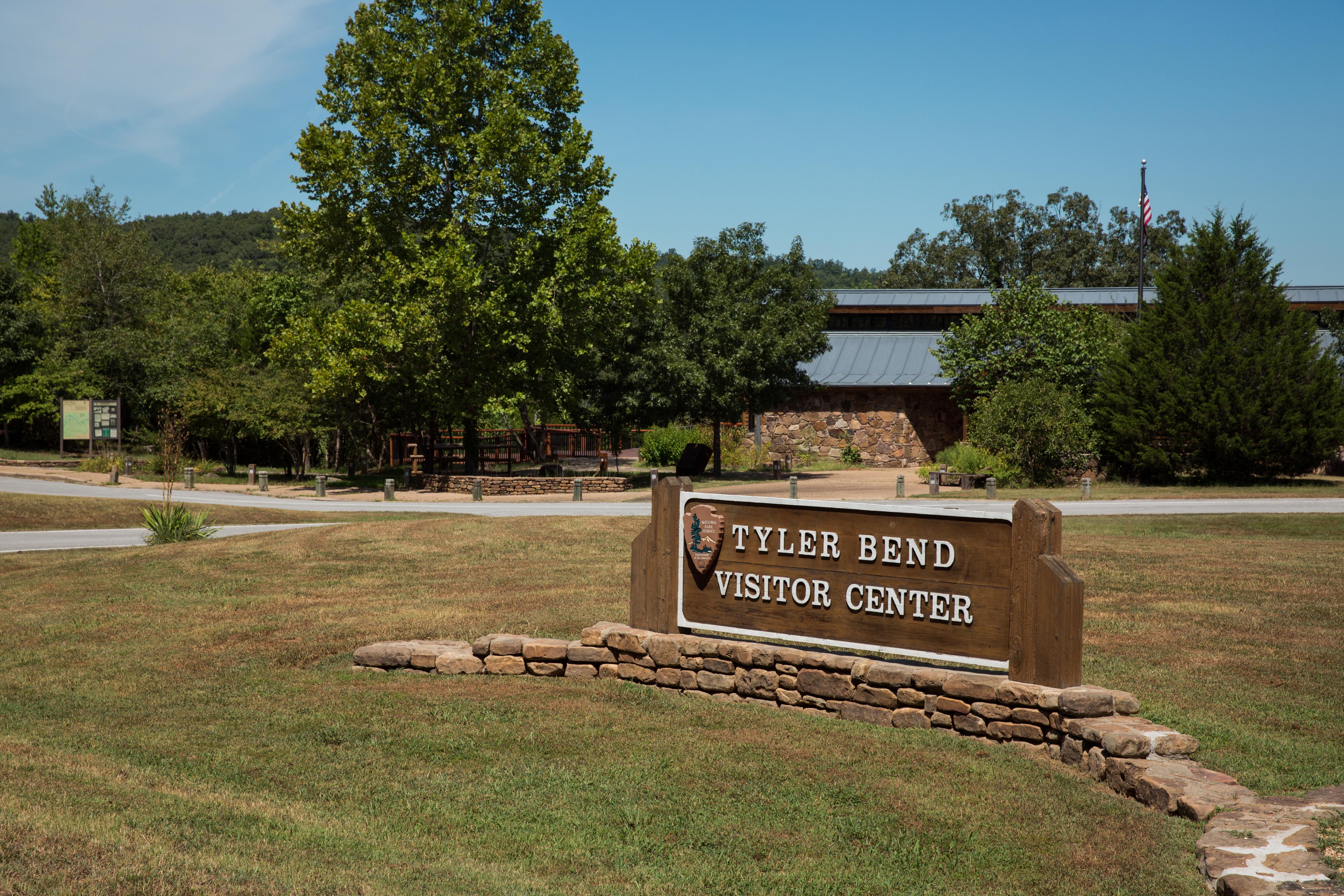
Tyler Bend Visitor Center
Facility
The Tyler Bend Visitor Center is located about 2 1/2 miles off of Highway 65 between St. Joe and Marshall, Arkansas. Here visitors can get park orientation information…
107 Ranger Road, St. Joe, AR (870) 439-2502 Directions
Details
The Tyler Bend Visitor Center is located about 2 1/2 miles off of Highway 65 between St. Joe and Marshall, Arkansas. Here visitors can get park orientation information, stamp passport books, see the park film, and shop at the park bookstore. -
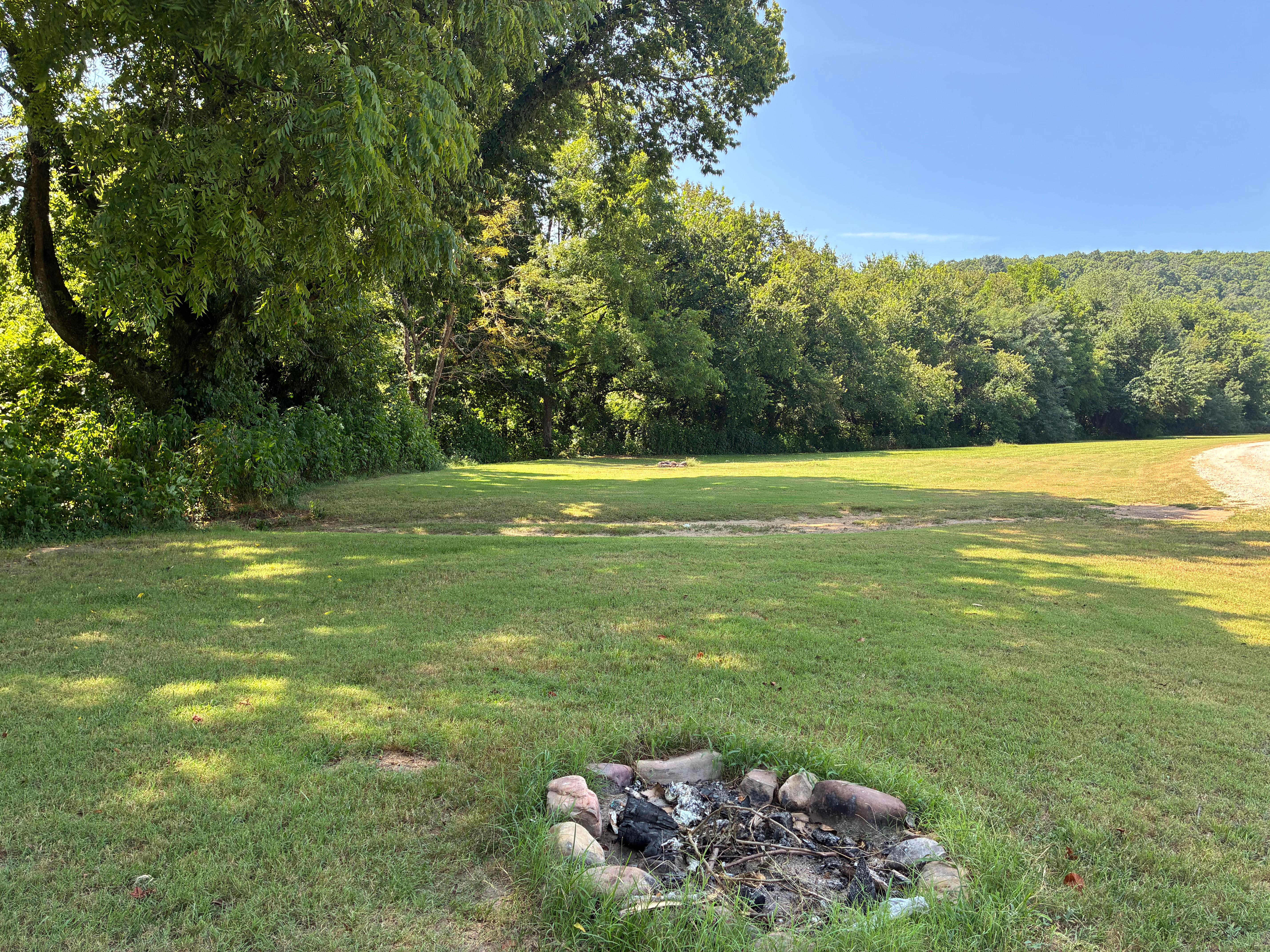
Woolum
Facility
Woolum Campground is a large open field at the Woolum access to the Buffalo River near St. Joe, Arkansas. There are no amenities at Woolum. There are no designated…
St. Joe, AR (870) 439-2502 Directions
Details
Woolum Campground is a large open field at the Woolum access to the Buffalo River near St. Joe, Arkansas. There are no amenities at Woolum. There are no designated sites. A vault toilet is available. Fees are not charged at Woolum.
Plan Your Visit
Hours
Open 24 hours, daily · Buffalo National River
Hours details
-
Buffalo National RiverOpen 24 hours, daily
Buffalo National River is 135 miles long. The park is open 24 hours.
Entrance fees
No entrance fees listed.
Contact the park
Weather & conditions
89°F
Sunny · feels like 81°
-
Today
89° 63°
Sunny2% rain
-
Tomorrow
91° 67°
Sunny17% rain
-
Wednesday
90° 70°
Sunny69% rain
Updated 3 hr ago
What to expect by season
Summer in the Ozarks can be very hot and humid. Please check the weather forecast prior to your arrival and plan accordingly. The weather the rest of the year has the potential to be wet and cool or dry and warm. Please pay special attention to river levels and the rain forecast when planning a trip on the river. River levels can rise dramatically in a short period of time so please be aware of conditions.
Upcoming Events
6 coming up-
Boxley Mill Tours
About
Boxley Mill, where water drove the stones, the stones shaped the grain, and the grain shaped the valley. One grain at a time, a community grew—leaving the mill as a patient witness.
Join a ranger and volunteers as we explore the history in and around Boxley Mill. Learn how the mill came to be, how it produced cornmeal and flour and its connections to the local community.
Drop-in tours are offered throughout the day, and you’re welcome to join at any time.
-
Whittling Demonstration
About
Join us this Saturday as we demonstrate the craft of whittling inside Tyler Bend Visitor Center at Buffalo National River! Volunteer Ricky Hoyt will be showcasing and creating art shaped with steady, determined hands. Gain a better understanding on local folk art through understanding his technique, advice and thought process!
-
Boxley Mill Tours
About
Boxley Mill, where water drove the stones, the stones shaped the grain, and the grain shaped the valley. One grain at a time, a community grew—leaving the mill as a patient witness.
Join a ranger and volunteers as we explore the history in and around Boxley Mill. Learn how the mill came to be, how it produced cornmeal and flour and its connections to the local community.
Drop-in tours are offered throughout the day, and you’re welcome to join at any time.
-
Boxley Mill Tours
About
Boxley Mill, where water drove the stones, the stones shaped the grain, and the grain shaped the valley. One grain at a time, a community grew—leaving the mill as a patient witness.
Join a ranger and volunteers as we explore the history in and around Boxley Mill. Learn how the mill came to be, how it produced cornmeal and flour and its connections to the local community.
Drop-in tours are offered throughout the day, and you’re welcome to join at any time.
Show 2 more events
-
Boxley Mill Tours
About
Boxley Mill, where water drove the stones, the stones shaped the grain, and the grain shaped the valley. One grain at a time, a community grew—leaving the mill as a patient witness.
Join a ranger and volunteers as we explore the history in and around Boxley Mill. Learn how the mill came to be, how it produced cornmeal and flour and its connections to the local community.
Drop-in tours are offered throughout the day, and you’re welcome to join at any time.
-
Boxley Mill Tours
About
Boxley Mill, where water drove the stones, the stones shaped the grain, and the grain shaped the valley. One grain at a time, a community grew—leaving the mill as a patient witness.
Join a ranger and volunteers as we explore the history in and around Boxley Mill. Learn how the mill came to be, how it produced cornmeal and flour and its connections to the local community.
Drop-in tours are offered throughout the day, and you’re welcome to join at any time.
Photos
-
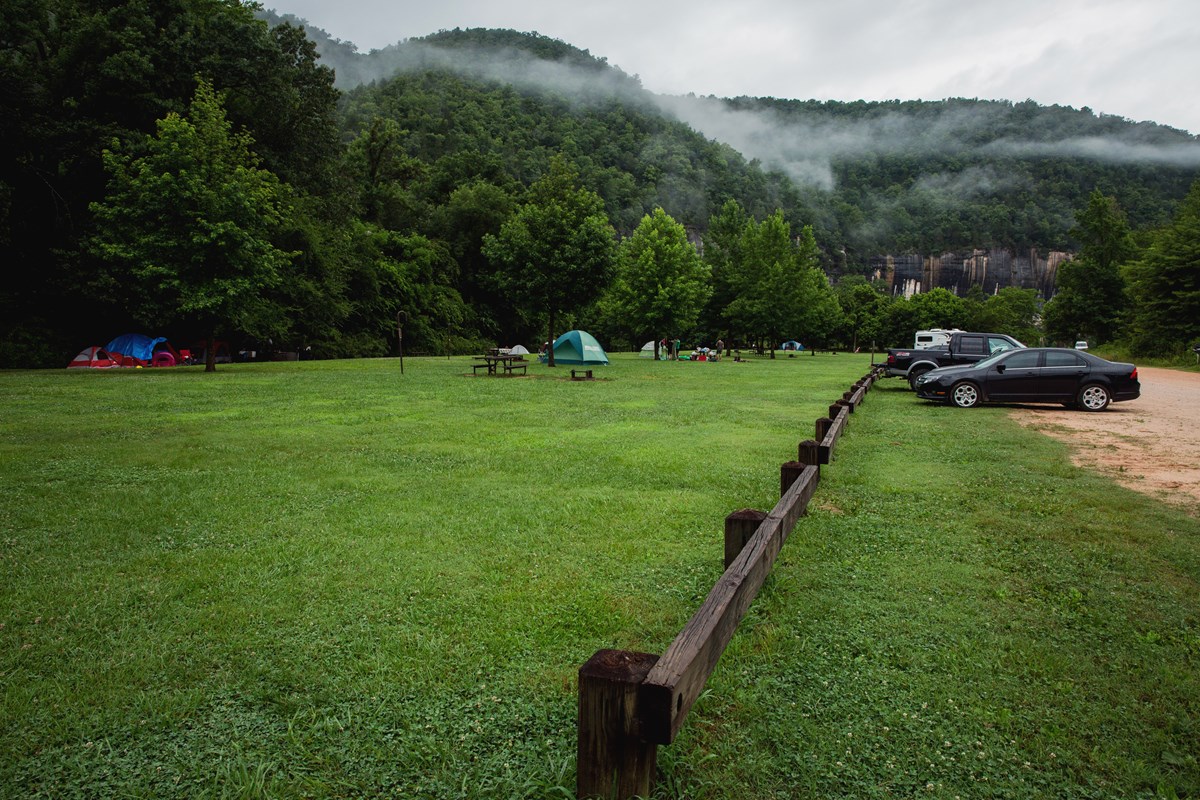
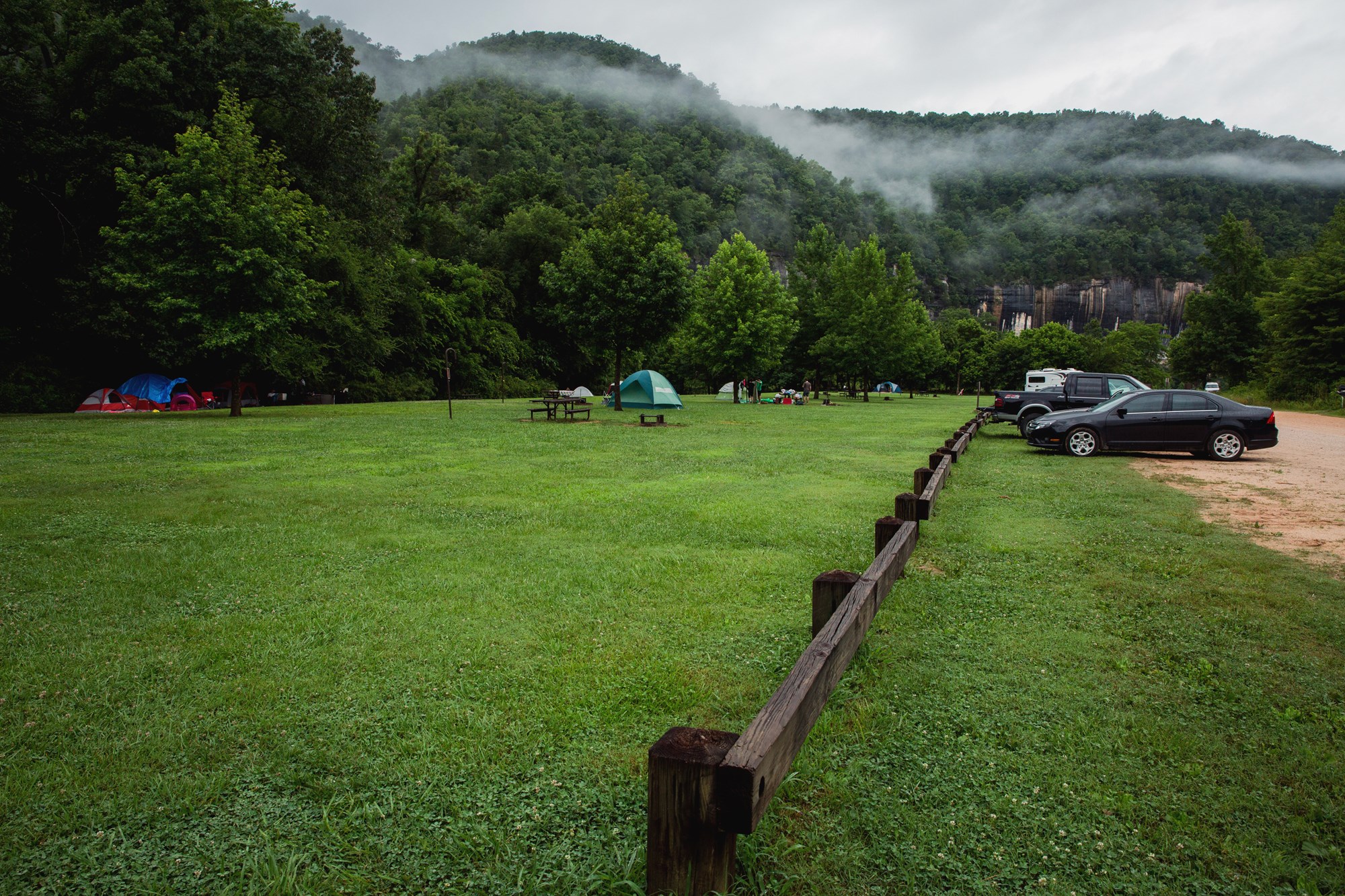
Camping along the Buffalo River is a wonderful way to enjoy the park. — NPS Photo/Terra Fondriest -
-
-
Getting There
St. Joe, AR 72675
Buffalo National River is a long, narrow park that is crossed by three main highways. Highways 7, 43, and 62/65 are the main roads out of Harrison, Arkansas that will take you to the Buffalo River, depending on which part of the park you wish to visit.
Full directions
GPS systems are not reliable in this area so please call ahead for directions or pick up a map of the area beforehand.
Mailing address: 402 N. Walnut Street, Harrison, AR 72601
Map loads when you scroll here