A Blue Ridge Parkway experience is unlike any other: a slow-paced and relaxing drive revealing stunning long-range vistas and close-up views of the rugged mountains and pastoral landscapes of the Appalachian Highlands. The Parkway meanders for 469 miles, protecting a diversity of plants and animals, and providing opportunities for enjoying all that makes this region of the country so special.
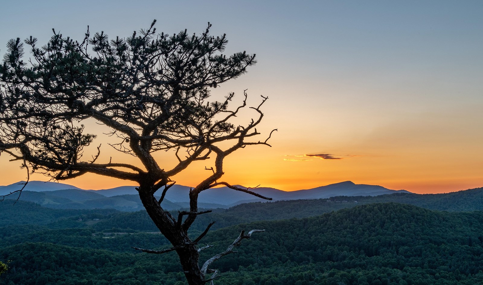 Photo: Harold Blackwood Photo
Blue Ridge Parkway
- LocationAsheville, NC
- Entrance No fee listed
- HoursOpen 24 hours, daily
-
 Weather now76°F Sunny
- Alerts No active alerts
Overview
Topics
- Animals
- Birds
- Bridges
- Deciduous Forests
- Elk
- Engineering
- Fish
- Foothills, Plains and Valleys
10 more topics
- Forests and Woodlands
- Landscape Design
- Mountains
- Music
- Roads, Routes and Highways
- Scenic Views
- Tragic Events
- Trails
- Transportation
- Tunnels
Things to Do
26 experiences from the National Park Service. Check details on NPS.gov before you go.
-
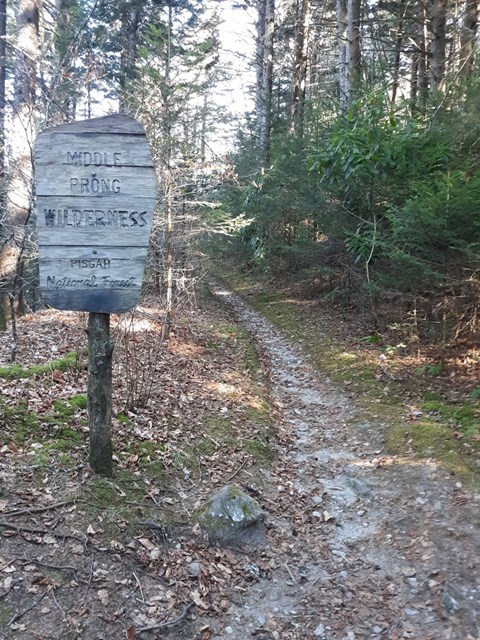
Explore the Middle Prong Wilderness
Want to take a walk on the wild side? Try a hike in the Middle Prong Wilderness! Adjacent to the Blue Ridge Parkway, this wilderness area protects a beautiful forest and has ample opportunities for…
Learn more about Explore the Middle Prong Wilderness on NPS.gov (opens in a new tab) -
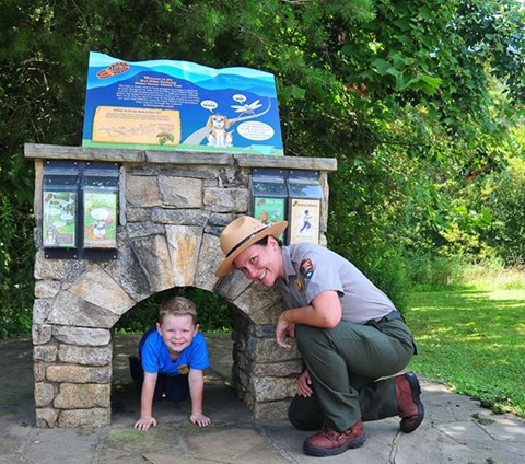
Hike the Blue Ridge Parkway Visitor Center Loop Trail
The Blue Ridge Parkway Visitor Center Loop Trail is a short, easy hike that is popular with all ages. Locals and visitors alike enjoy this leg stretcher trail and its close proximity to Asheville.
Learn more about Hike the Blue Ridge Parkway Visitor Center Loop Trail on NPS.gov (opens in a new tab) -
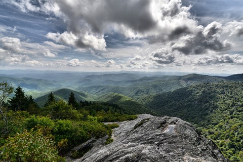
Hike the Devils Courthouse Trail
Make the steep 0.5 mile climb to the top of Devils Courthouse for one of the most fantastic views on the Blue Ridge Parkway. Enjoy breath-taking, panoramic views of the surrounding mountains and the…
Learn more about Hike the Devils Courthouse Trail on NPS.gov (opens in a new tab) -
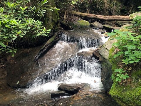
Hike the Gully Creek Trail Loop
While this hike is challenging, the trek is very rewarding for the seasoned hiker. The small cascades are pure magic!
Learn more about Hike the Gully Creek Trail Loop on NPS.gov (opens in a new tab) -
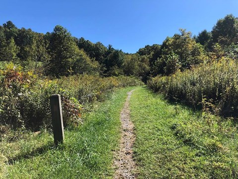
Hike the High Meadow Trail at the Blue Ridge Music Center
A hike on the family-friendly High Meadows Trail leads up and down rolling grassy meadows and through a mix of deciduous and evergreen forests. Pick up some Kids In Park TRACK Trail brochures at the…
Learn more about Hike the High Meadow Trail at the Blue Ridge Music Center on NPS.gov (opens in a new tab) -
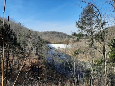
Hike the Roanoke River Trail
The ideal hike for someone who likes water, bridges, woods—and doesn’t feel like committing an entire afternoon to a hike. Roanoke River Trail is an an easy trail that covers less than a mile. It…
Learn more about Hike the Roanoke River Trail on NPS.gov (opens in a new tab) -
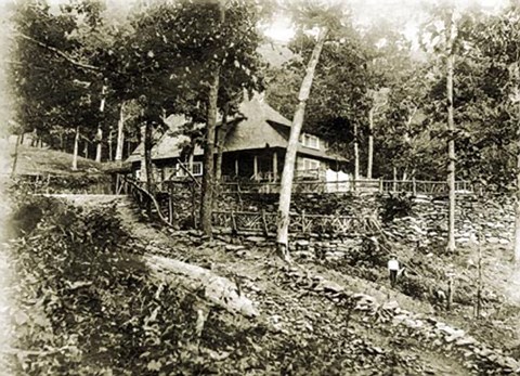
Hike to Rattlesnake Lodge
Step back in time with a hike to historic Rattlesnake Lodge. This enjoyable hike through shaded woodlands is close to Asheville and takes you to the remains of an early1900’s mountain retreat.
Learn more about Hike to Rattlesnake Lodge on NPS.gov (opens in a new tab) -
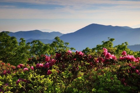
See the Rhododendrons Bloom at Craggy Gardens
Colorful rhododendron blossoms put on a show each summer along the Blue Ridge Parkway and one of the best places to see these high-elevation flowers is at Craggy Gardens.
Learn more about See the Rhododendrons Bloom at Craggy Gardens on NPS.gov (opens in a new tab)
Showing 8 of 8
All 19 activities in the park
Pick one to find other parks that offer it.
Camping
11 campgrounds listed on Recreation.gov. Check availability and current conditions before you go.
-
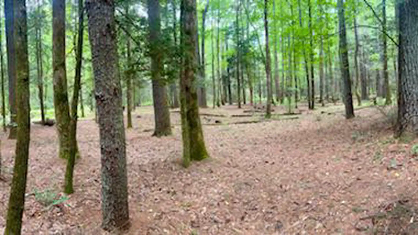
Basin Cove Backcountry Camping
Reservable Campground
Basin Cove backcountry is a primitive camp located in historic Basin Cove at Doughton Park on the Blue Ridge Parkway in North Carolina.. Multiple trails allow access to…
Reserve on Recreation.gov- Hiking
- Fishing
- Birding
- Photography
Details
Fees: Basin Cove Backcountry Campground reservations are available on a 6-month rolling basis prior to planned start dates. Backcountry Camping Permit Fee: $15 per night per site. Do not print your permit until you have confirmed you will be…
Overview
Basin Cove backcountry is a primitive camp located in historic Basin Cove at Doughton Park on the Blue Ridge Parkway in North Carolina.. Multiple trails allow access to the primitive campground. Click to see a map Doughton Park Hiking Trails
Overnight parking for backcountry is permitted at designated areas.
From the parkway, the trails descend over 1500 feet into the Basin Cove Area. Easiest trail is the Grassy Gap Fire Road entrance from Longbottom Road.
This year-round campground has eight campsites each with individual fire rings, lantern post, and food storage boxes. No pit toilet or privy exists. Note particularly that surface water is unsafe. Water from natural sources must be purified by boiling or filtering and disinfecting.
Thunderstorms are common along the escarpment.
Cell phones most likely do not work in the area.
Multiple creeks provide fishing opportunities.
Recreation
Doughton Park trails system offers more than 28 miles of hiking trails. From the campsites, trails ascend 1,500 feet to the Blue Ridge Parkway. The most difficult trail up to the parkway is the Bluff’s primitive trail. The easiest route in and out of the campsite is at Longbottom Road via the Grassy Gap Fire Road.
Facilities
This year-round backcountry camping area has eight campsites each with individual fire rings, lantern post, and food storage boxes. No pit toilet or privy exists so be prepared to dispose of waste properly. Note: Surface water is unsafe. Water from natural sources must be purified by boiling or filtering and disinfecting.
Natural Features
Basin Cove was a thriving community of over 50 families from 1863 to 1916. Two stalled tropic storms dumped 22.2 inches of rain during a 3-day period in 1916, causing massive mudslides that wiped out all but 1 and half homes. Remnants of homesites and graves are scattered throughout the area. The 3.5-mile Caudill Cabin trail leads the only existing cabin.
The campground is situated among a mixed hardwood and conifer forest with multiple creeks.
Special Parkway water regulations apply in Basin Cove. Fishing
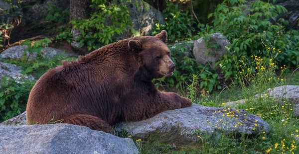
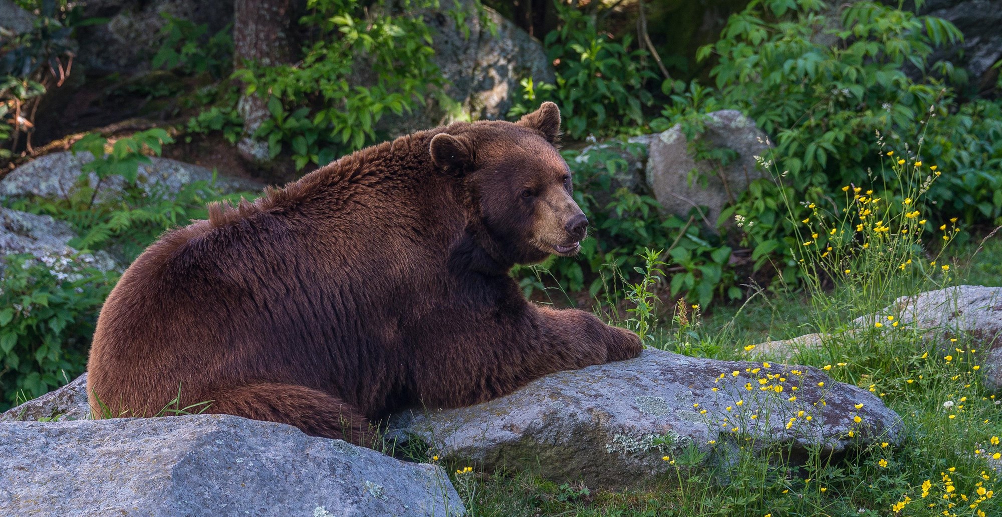
Black Bears inhabit the 6,000 plus acres of public land.
Contact Info
For facility specific information, please call (828) 276-2300.Nearby Attractions
Stone Mountain State Park Stone Mountain State Park
Alleghany County Alleghany County
Wilkes County Wilkes County
New River New River
-
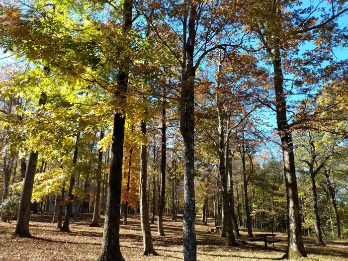
Crabtree Falls Campground
Reservable Campground
What many consider to be the hidden gem of Blue Ridge Parkway campgrounds, Crabtree Falls Campground offers a quiet serenity that appeals to campers as well as wildlife…
Reserve on Recreation.gov- Hiking
- Picnicking
- Birding
- Day Use Area
Details
Overview
What many consider to be the hidden gem of Blue Ridge Parkway campgrounds, Crabtree Falls Campground offers a quiet serenity that appeals to campers as well as wildlife. It is a magical place when mist hangs in the air, as coyote and deer tiptoe through and barred owls call out. Crabtree Falls, a spectacular 70-foot waterfall which is one of the most photographed in the area, is accessible from the campground.
Recreation
Crabtree Falls Trail - a 3-mile loop trail considered moderate to strenuous. The trail has many wildflowers, towering trees, and lots of stairs! Crabtree Falls is a 70 -foot waterfall, plunging into a deep pool. Be sure to carry drinking water.
Mount Mitchell State Park - highest peak east of the Mississippi: 15 miles south of Crabtree Falls Campground. Enjoy the observation tower with a 360-degree view or the Crest of the Black Mountains Trail and CCC-era log picnic shelters.
Green Knob Lookout Tower - a restored CCC Fire Tower: 10 miles south of Crabtree Falls Campground. A half-mile climb from the Green Knob Overlook. Enjoy beautiful views of Mt Mitchell and the Black Mountain peaks.
The Museum of North Carolina Minerals - at Milepost 331, about 9 miles north of Crabtree Falls Campground. The museum highlights the area's rich mineral resources and it's mining heritage. Discover hands-on, interactive exhibits that explore the creation of the Blue Ridge Mountains and the 3,000 year-old saga of mining.
Overmountain Victory Trail - recognizing the Revolutionary War Overmountain Men, patriots from what is now East Tennessee, who crossed the Unaka Mountains and then fought the Battle of Kings Mountain in South Carolina. Access the Orchard Trail portion from behind the Minerals Museum and hike about 5 miles to Lynn Gap.
Facilities
The campground offers comfortable tent or RV camping, with the convenience of flush toilets, dump station, and drinking water. Grills/fire rings and picnic tables at each site create a perfect environment for family barbeques or late-night marshmallow roasting.
In addition to the 27 sites available for advance reservations, 54 campsites are available on a first come, first served basis. Availability of first come, first served sites cannot be tracked through Recreation.gov. These sites must be booked in person at the campground kiosk.
Natural Features
Named for the crabapple trees which once polka-dotted the countryside with their brilliant pink blossoms, the 253-acre Crabtree Falls Recreation Area in North Carolina contains meadows which still speak of the area's long history as a farming community. Bursting with wildflowers (including hawthorne, beard tongue, mountain laurel and gentian) in the spring, the meadows abut towering hardwood forests of oak, birch, and hickory, and are often dotted with thickets of rhododendrons. The Blue Ridge Parkway is a scenic byway that follows the high crests of the central and southern Appalachians for 469 miles--from Shenandoah National Park in Virginia to the Great Smokey Mountains National Park in North Carolina. The Parkway offers many natural attractions and recreational opportunities for visitors.
Nearby Attractions
Orchard at Altapass: Started after the Revolutionary War, this orchard has a long and interesting history.
-
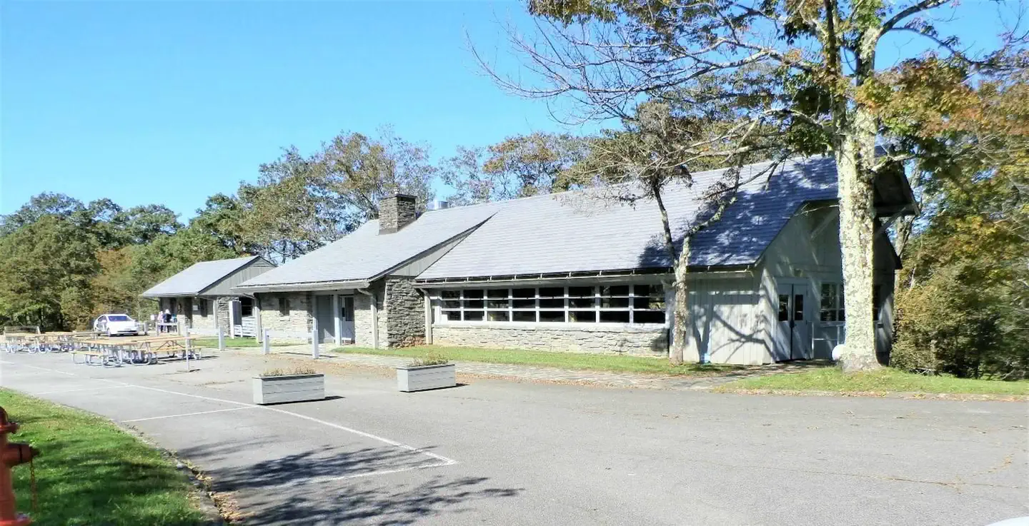
Doughton Park Campground
Reservable Campground
Nestled in a landscape of mountains, open meadows and pioneer cabins, Doughton Park Campground is surrounded by 30 miles (48 km) of hiking trails offering opportunities…
Reserve on Recreation.gov- Hiking
- Fishing
- Picnicking
- Backpacking
Details
Overview
Nestled in a landscape of mountains, open meadows and pioneer cabins, Doughton Park Campground is surrounded by 30 miles (48 km) of hiking trails offering opportunities to view wildlife as well as get a feel for the lives of those who lived here long ago. Originally known as The Bluffs, the area came by its present name in honor of Congressman Robert L. Doughton, a long-time advocate and supporter of the Parkway.
Recreation
Over 30 miles of trails are available varying from strenuous to easy. Bicycles and motorized vehicles are prohibited on trails. Mileage listed is only traveling one way. Double the trail mileage to include out and back trip. Trail elevations can change more than 2,000 feet as trails descend into the Basin Cove Creek area from the parkway. Maps available on the Blue Ridge Parkway.gov website.
Bluff Mountain Trail (7.5 miles) offers many scenic vistas and traverses relatively flat terrain. The trail runs near the parkway and is accessible from many locations along its route from Brinegar Cabin to Basin Cove Overlook.
Cedar Ridge Trail (4.4 miles) descends a forested ridgeline to Grassy Gap Fire Road. Trailhead is located at the Brinegar Cabin.
Grassy Gap Fire Road (6.1 miles) is wide enough for hikers and horseback riders to travel side by side. The trail starts at Milepost 243.9 and ambles down the mountainside past the primitive campground to State Route 1730 (Longbottom Road). Horseback riders must enter and exit at Longbottom Road.
Flat Rock Ridge Trail (5.0) miles begins on the mountain-top meadow of Basin Cove Overlook. And ends on the damp, cool banks of Basin Cove Creek. NC Thurmond Game Lands and bear sanctuary border the south side of the trail.
Basin Cove Creek Trail (3.2 miles) is accessible only from the grassy Gap Fire Road at the Long Bottom Road (State Hwy 1730). A 1.7-mile hike is required to reach the beginning of the Basin Cove Creek. It winds past cascading waterfalls to the century-old Caudill Cabin, former home of the Martin Caudill family. Part of the once-thriving Basin cove Community, this cabin was one of the few structures that withstood the devasting 1916 flood. Prepare for over 26 creek crossings on this trail. The total trip one way is 4.9 miles and 9.8 miles for the total trip.
Bluff Ridge Primitive Trail (2.7 miles) is the shortest but steepest route into Basin Cove. The strenuous climb up the trail makes the hike seem much longer. Trailhead location is in the Bluffs Picnic Area.
Fodder Stack Trail (1.4 miles roundtrip) shows off its delicate display of wildflowers in the spring. It is the easiest hike through a mixture of pine and hardwood forest with a short, steep brief beginning. Recommended for families. Trailhead is at Wildcat Rocks Overlook.
The Brinegar Cabin dates from about 1885 and was the home of Martin Brinegar and his family. Brinegar was a cobbler as well as a farmer. His home is open Memorial Day weekend days through October. Hand-loom weaving and other craft demonstrations are often given during the summer months. The one-room Caudill Cabin exhibit can be viewed from the scenic Wildcat Rocks (milepost 240.6).
Historic Cemetery: near milepost marker 245.5. The cemetery contains some three dozen graves dating from the 1880's to more recent times.
The Basin Cove Creek complex (mileposts 238 - 244) (located off the Parkway on Longbottom Road) has Rainbow and Brook Trout where the streams are stocked. Anyone with a valid Virginia or North Carolina fishing license is welcome, but please check with the visitor center for any special regulations.
Facilities
Doughton Park has a picnic area (at milepost 241), a campground (milepost 239), comfort stations, drinking water and access to 30 miles (48 km) of trail over bluegrass bluffs. The historic Bluff’s restaurant has reopened (at milepost 241). The restaurant’s web page, www.bluffsrestaurant.org, provides information on hours and menu.
Campsites are shaded under an umbrella of thick trees, and provide campers with tables, latern posts, plus, campfire rings and grills. The site also offers camper conveniences like flush toilets, drinking water and a dump station.
Doughton Park Campground usually has campsites available. Three group sites are available by reservation at www.recreation.gov. In addition to the 33 sites available for advance reservation, 70 campsites are available on a first-come, first-served basis. Availability of first come, first served sites cannot be tracked through Recreation.gov. These sites must be booked in person at the campground kiosk.
With regard to backcountry camping: A permit is required to camp at Basin Cove Backcountry Camping. The cost is $15 per night. Permits and other details are available at https://www.recreation.gov/.
Natural Features
Rolling ridgetop meadows and steep mountainsides characterize the 7,000-acre Doughton Park. The elevation is a cool 3688 feet. It is one of the best places along the motor road to view white-tailed deer, raccoons, red and gray foxes, and bobcats. Visitors can enjoy spectacular shows of flame azalea and rhododendron in the late spring and fields of Dense Blazing Stars in mid to late July. Nearby Bluffs picnic area features open areas for night sky viewing with limited light pollution.
The Blue Ridge Parkway is a scenic byway that follows the high crests of the central and southern Appalachians for 469 miles from Shenandoah National Park in Virginia, to the Great Smoky Mountains National Park in North Carolina.
Nearby Attractions
Mount Airy, NC: Andy Griffith's hometown, the ideal American town that was the inspiration for Mayberry--Hwy 52 South; 12 miles south of Fancy Gap, VA: https://www.visitmayberry.com/
New River National Wild and Scenic River offers excellent opportunities for tubing, canoeing, kayaking, and fishing. Multiple access points and several local outfitters are available within a 30‑minute drive of the campground. https://www.fws.gov/rivers/river/new
Sparta, NC & Allegheny County: https://www.alleghanycountychamber.com/
West Jefferson, Jefferson Lansing, and Todd: https://ashechamber.com/
Wilkes County: https://wilkescountytourism.com/#/
Yadkin Valley, NC: North Carolina Wine Country - Yadkin Valley, NC
-
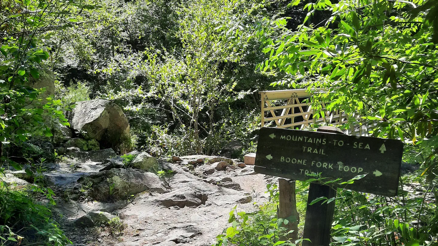
Johns River Road Backcountry Camping
Reservable Campground
Old John’s River Road Backcountry Camping is a primitive camping location along the Mountains to Sea Trail near Blowing Rock, North Carolina. There are 2 sites…
Reserve on Recreation.gov- Hiking
- Birding
- Photography
Details
Fees: Johns River Road Backcountry Camping reservations are available on a 6-month rolling basis prior to planned start dates. The backcountry camping permit fee is $15 per night per site. Do not print your permit until you have confirmed you…
Overview
Old John’s River Road Backcountry Camping is a primitive camping location along the Mountains to Sea Trail near Blowing Rock, North Carolina. There are 2 sites available, each with a fire ring. Maximum capacity is 6 people per site and the maximum stay length is 3 nights. Access this location either by hiking the Boone Fork Trail from the Julian Price Park Picnic Area, or Old John’s River Road between mile 296 and 297 on the Blue Ridge Parkway. Black bears and other wildlife frequent this area, so bring an approved bear cannister or hang food or any scented items from a tree at least 10 feet high and 4 feet from the trunk. No toilets are available. All human waste must be buried a minimum of 6 inches deep and a minimum of 100 feet from any stream. All trash must be packed out. Water should be purified before consumption. Bathing and washing dishes with soap in the nearby stream is prohibited. There is likely no cellphone service at this site.
Recreation
Julian Price Memorial Park has 3 main loop trails. Price Lake Loop Trail is an easy to moderate 2.3-mile trail around the Price Lake through mixed hardwood forest and rhododendron thickets. The Green Knob Trail is a moderate 2-mile loop that runs along Sim’s Creek through a mixed hardwood forest, with a small section through an open cow pasture. The Boone Fork Trail is a strenuous 4.9-mile loop that traverses a variety of landscapes along Boone Fork Creek. It features stream crossings and trail ladders and lots of uneven footing. The most popular feature of this trail is the Hebron Colony Falls, which is a section of the Boone Fork Creek that cascades through a boulder field. Hikers are advised to allow for 3-4 hours for this trail, bring plenty of water and snacks, and wear sturdy shoes.
Price Lake offers fishing and paddling opportunities. A North Carolina or Virginia fishing license is required. Price Lake Boat Rentals offers canoes, kayaks, and standup paddleboards. There is also a public boat ramp. No motors or sails are allowed.
Natural Features
Julian Price Memorial Park offers hiking through hardwood and coniferous forests as well as open pasture and Creekside riparian zones. The Boone Fork Creek and Price Lake provide fishing opportunities and boat rentals are available at Price Lake near the Julian Price Campground.
Nearby Attractions
Things to Do in Boone, NC Things to do in Boone, NC
Grandfather Mountain State Park Grandfather Mountain State Park
Julian Price Park Julian Price Park - Milepost 297
Moses H. Cone Memorial Park Moses H. Cone Memorial Park - Milepost 294
Contact Info
For facility specific information, please call (828) 276-2300.
Show 7 more campgrounds
-
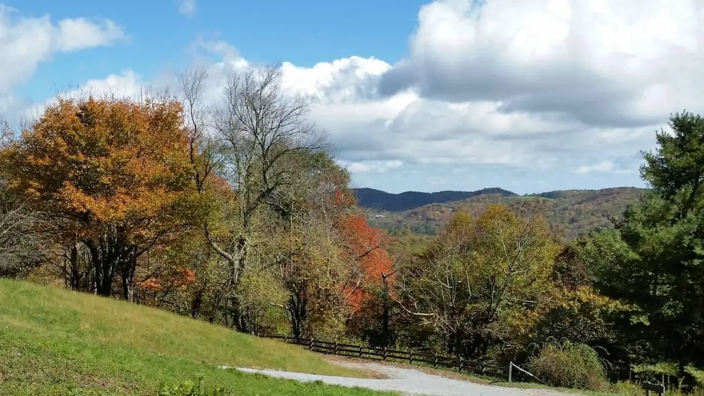
Julian Price Campground
Reservable Campground
Located along the scenic Blue Ridge Parkway in the lush green expanses of North Carolina, Julian Price Campground is a top destination for boating, hiking, fishing and…
Reserve on Recreation.gov- Hiking
- Fishing
- Picnicking
- Canoeing
Details
Overview
Located along the scenic Blue Ridge Parkway in the lush green expanses of North Carolina, Julian Price Campground is a top destination for boating, hiking, fishing and more. Whether it's for a family camping excursion or a peaceful getaway, this campground has something for everyone.
Recreation
Canoe rentals are available at Price Lake, and other types of non-motorized boats are permitted. Fishing is also available at the lake, with a dock provided.
Price Lake Trail offers a refreshing hike around the edge of the water, and the Boone Fork, Green Knob and Tanawha Trails are just a few of the trails that are conveniently accessed through the campground.Hebron Falls: A small waterfall accessed from the Boone Fork Trail.
The Cascades: A beautiful waterfall accessed by the easy 1-mile loop Cascades Trail. A great hike for children.
Moses Cone Flat Top Manor: A historic estate house (currently undergoing restoration) once owned by the Cone family. The grounds offer 25 miles of carriage roads to hike. Tours of the home are available. Currently houses the Southern Highland Craft Guild.
Wildlife viewing is also popular as campers have a good chance of spotting bears, grouse, turkeys, owls, hawks and more.Facilities
Julian Price Campground combines the traditional great outdoors experience with the modern conveniences of flush toilets, dump station, and drinking water. Both RV and tent sites are available, and are equipped with grills, picnic tables, and lantern poles. In addition to the 75 sites available for advance reservations, 115 sites are available on a first come, first served basis. Availability for first come, first served sites cannot be tracked through Recreation.gov. These sites must be booked in person at the campground kiosk.
Primitive Backcountry Camping is available at Johns River Road. Permits are required and can be obtained on www.recreation.gov or by calling 1-877-444-6777 only. Permits are not distributed at the park.
Natural Features
Julian Price Campground is adjacent to Price Lake, a pristine body of water that sparkles against the backdrop of rolling Carolina hills.
The surrounding forest offers hemlock, white pine, oak, hickory and birch trees, along with a colorful assortment of wildflowers in the spring and an array of vivid orange and red foliage displays in autumn.
The Blue Ridge Parkway is a scenic byway that follows the high crests of the central and southern Appalachians for 469 miles from Shenandoah National Park in Virginia to the Great Smoky Mountains National Park in North Carolina.Contact Info
For facility specific information, please call (828) 963-5911.Nearby Attractions
The beautiful town of Blowing Rock, located just 20 minutes away on the Blue Ridge Parkway, offers fine dining, shopping and more.
-

Linville Falls Campground
Reservable Campground
Located in a dense pine canopy, within hiking distance of Linville Gorge, and along the famous Blue Ridge Parkway, Linville Falls Campground is an ideal location for…
Reserve on Recreation.gov- Hiking
- Fishing
- Picnicking
- Birding
Details
Overview
Located in a dense pine canopy, within hiking distance of Linville Gorge, and along the famous Blue Ridge Parkway, Linville Falls Campground is an ideal location for your next family camping excursion. Linville River, which winds beside the campground, is stocked for fishing, and the location is central to many area attractions including the Linville Falls waterfall, which has three waterfall overlooks in a one-mile hike.
Recreation
The Linville Falls area is a hiker's paradise, and the campground provides easy access to several trails that allow visitors to experience the stunning scenery and abundant wildlife.
Once at the Linville Gorge, visitors can hike more challenging trails down to the river, where fishing for trout is a popular pastime.
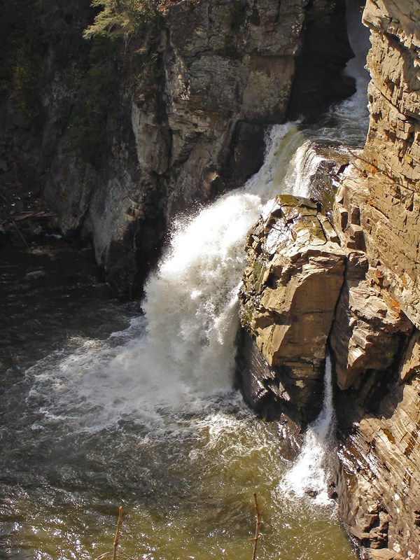
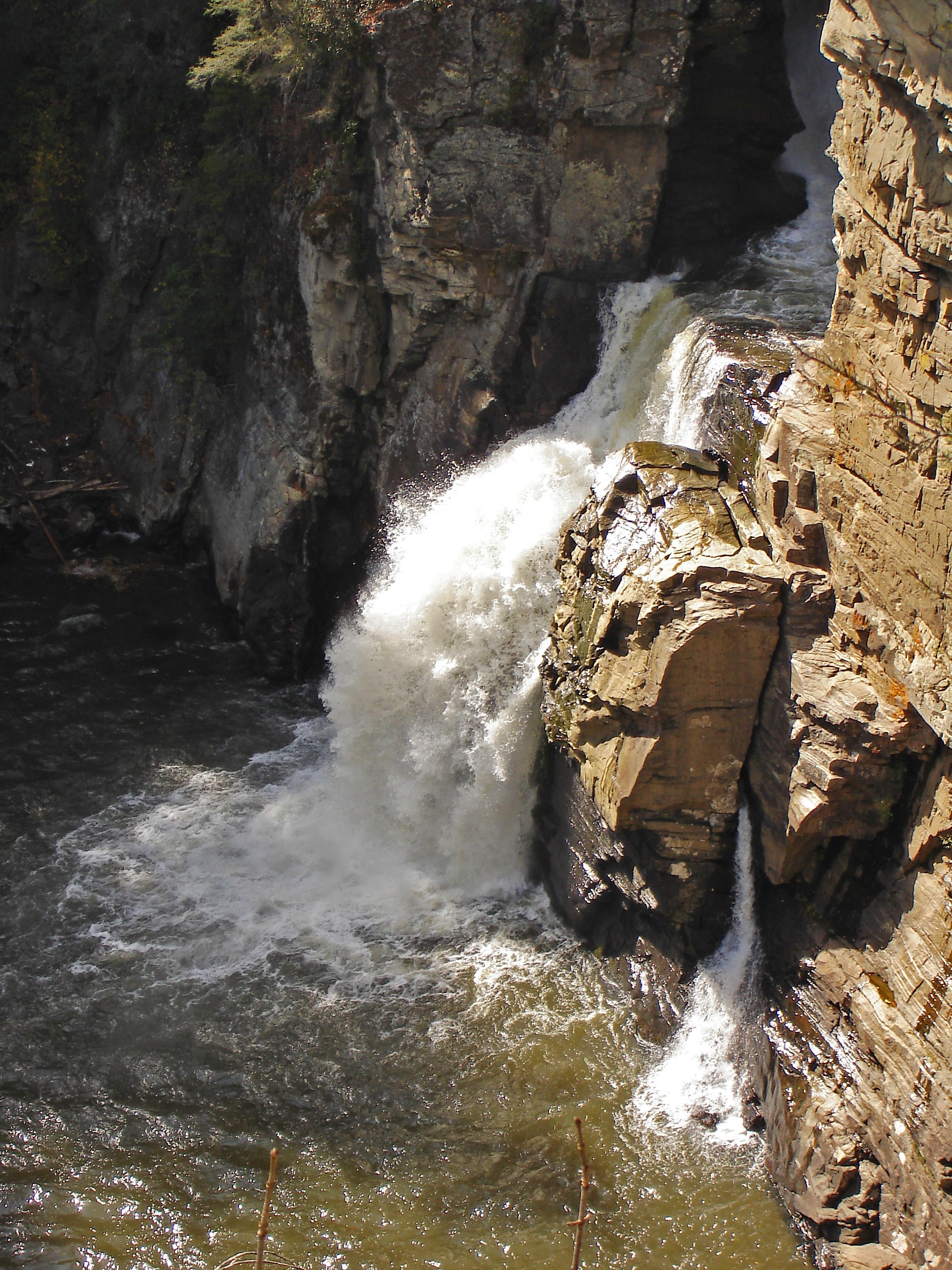
Linville Falls is another must-see, carrying water from the river over several layers of falls, ending in a spectacular 45-foot waterfall pouring into the sparkling riverbed below.Duggers Creek Falls: accessible from the Linville Falls Visitor Center on a small loop trail. See views of the falls from the foot bridge. These are native brook trout waters (fishing regulations apply).
Lost Cove Cliff Overlook: view Brown Mountain and see the Brown Mountain Lights--a natural occurrence which is believed to be caused by natural gases. A good spot to view hawks and peregrine falcons in the spring and fall.
Facilities
The campground offers comfortable tent or RV camping, with the convenience of flush toilets, dump station, and drinking water. Grills/fire rings and picnic tables at each site create a perfect environment for family barbecues or late-night marshmallow roasting.
In addition to the 39 sites available for advance reservation, 25 campsites are available on a first come, first-served basis. The availability of first come, first served sites cannot be tracked through Recreation.gov. The sites must be booked in person at the campground kiosk.Natural Features
Linville Gorge is a vast designated Wilderness area that sits on 11,786 acres of rolling hills and thick forest. The gorge surrounds the Linville River, which is located some 1,400 feet below the ridge, creating a stunning canyon that has earned the nickname "The Grand Canyon of North Carolina."
The Blue Ridge Parkway is a scenic byway with plenty of natural attractions and recreational opportunities for visitors. Aside from natural features, the parkway is also a cross-section of Appalachian mountain history. Stretching almost 500 miles along the crest of the Blue Ridge Mountains through North Carolina and Virginia, it encompasses some of the oldest historical sites of both pre-historic and early European settlements.
The surrounding forest offers hemlock, white pine, oaks, hickory and birch trees, along with a colorful assortment of wildflowers in the spring and an epic array of orange and red shades of leaves in the autumn.Nearby Attractions
Linville Caverns, a privately maintained cave just south of Linville Falls, offers guided tours year-round.
-
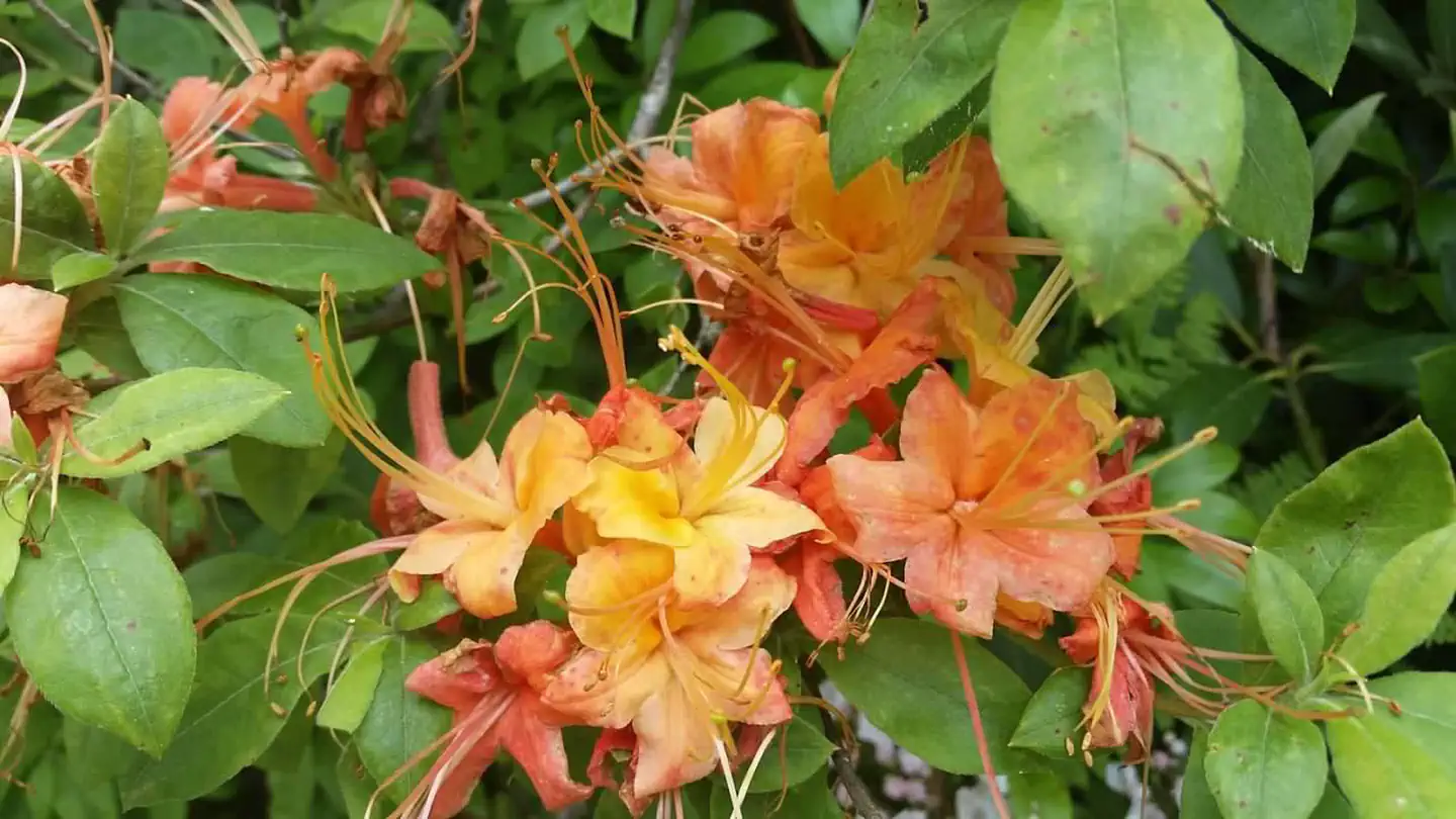
Mount Pisgah Campground
Reservable Campground
One of the most popular of the Parkway's campgrounds, Mount Pisgah Campground is perched in the rolling mountains of western North Carolina on the southernmost end of…
Reserve on Recreation.gov- Hiking
- Birding
- Guided Interpretive Walks
- Interpretive Programs
Details
Overview
One of the most popular of the Parkway's campgrounds, Mount Pisgah Campground is perched in the rolling mountains of western North Carolina on the southernmost end of the famous Blue Ridge Parkway. Surrounded by dense hardwood forests at an elevation of 4980 feet, it offers shady, cool respite from the summer heat. Whichever end of the day appeals, spectacular sunrise and sunset panoramic views can be enjoyed from nearby overlooks. Several popular hiking trails, ranging from moderate to strenuous, are accessible from the campground. Drenched in history, this area was once part of the holdings of George Vanderbilt and the site of his hunting camp house, Buck Springs (no longer standing), is close by.
Recreation
Several popular hiking trails, ranging from moderate to difficult, are easily accessible from the campground. The Frying Pan Trail leads adventurers 1.6 miles (2.6 km) south to the Fire Tower at Frying Pan Mountain. Hiking north on the trail you'll arrive at the Pisgah Inn and from there, the Buck Spring Trail leads visitors through the thick hardwood forest and along rocky terrain to the Mt. Pisgah Parking Area. From the parking area it is a 1.6 mile (2.6 km) uphill trek to the top of Mt. Pisgah.
The Shut-In Trail is the original route from the Biltmore Estate to the Buck Spring Lodge, and heads north along the Blue Ridge Parkway toward Asheville. The Buck Spring Lodge was a mountain getaway for George Vanderbilt, owner of the famous Biltmore Estate.
The North Carolina Mountains to Sea Trail follows both the Buck Spring and Shut-In Trails, and connects to trails in Pisgah National Forest.Facilities
Both RV and tent sites are available at this campground. Modern amenities like flush toilets, drinking water, dump station, and a country store create a comfortable camping experience. Sites come with picnic tables and fire rings, perfect for barbecues and marshmallow roasting. In addition to the sites available for advance reservation, several campsites are available on a first-come, first-serve basis. The availability of first come, first served sites cannot be tracked through Recreation.gov. These sites must be booked in person at the campground kiosk. Mt. Pisgah campground is oftentimes full each weekend and holidays.
Natural Features
Mount Pisgah is part of the Appalachian Mountain Range, an area of the country with scenery that never disappoints, whether blanketed in wildflowers in the spring or bursting with red, orange, and yellow hues in the fall. The Blue Ridge Parkway is a scenic byway that follows the high crests of the central and southern Appalachians for 469 miles from Shenandoah National Park in Virginia to the Great Smoky Mountains National Park in North Carolina. At an elevation of 4,980 feet (1,518 m), Mount Pisgah offers moderate to cool temperatures during camping seasons.Nearby Attractions
The beautiful Pisgah Inn is located adjacent to the campground and offers a restaurant and country store. Additionally, historic Asheville, North Carolina is about 20 miles away, offering grocery stores, fuel and medical facilities. The Blue Ridge Parkway is also surrounded by 2 other national parks. Shenandoah National Park is to the immediate north of the Blue Ridge Parkway. Great Smoky Mountains National Park is south of the Blue Ridge Parkway. Mt. Pisgah Campground is closer to Great Smoky Mountains National Park.
-
Otter Creek Campground
Reservable Campground
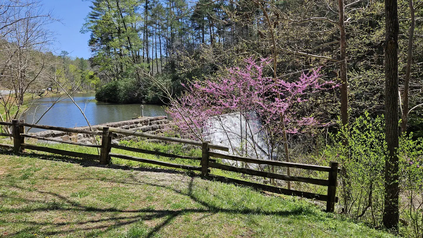
Otter Creek Campground is located at the Blue Ridge Parkway's lowest elevation, only 649 feet above sea level. Picturesque Otter Creek winds through this quiet, rustic…
Reserve on Recreation.gov- Hiking
- Fishing
- Birding
- Historic & Cultural Site
Details
Overview
Otter Creek Campground is located at the Blue Ridge Parkway's lowest elevation, only 649 feet above sea level. Picturesque Otter Creek winds through this quiet, rustic campground. Night skies are spectacular here, and there are several nearby trails to hike including the Otter Creek Trail, which is accessible from the campground. Just imagine enjoying the crackle of an evening campfire with the murmur of the creek in the background! Relax....
Recreation
The James River/Otter Creek recreation area has fishing in Otter Lake and a number of hiking trails including Trail of Trees, Otter Creek, Otter Lake Loop, and James River Canal.
Hike the Otter Creek Trail to James River Visitor Center. There visitors can view a restored canal lock from the Kanawha Canal, part of the historic James River transporation artery which was once the primary commercial route in the state of Virginia.
Facilities
Both RV and tent sites are available at this well-kept campground. Sites are equipped with grills, picnic tables and lantern posts. Amenities such as flush toilets, drinking water and a dump station are also at hand. All sites are available for advance reservation, and may be booked on the day of arrival.
Natural Features
This area's abundant water and warmer temperatures support plant and animal communities that are unlike those found at other areas on the Parkway. A short walk along the Trail of Trees or a hike along the clear, cool waters of Otter Creek will give ample proof that there is more to the Blue Ridge Parkway than mountain-top vistas.
Nearby Attractions
- Otter Creek Trail (3.5 miles/5.6 km) parallels the Parkway road as it meanders from Otter Creek campground to the James River Visitor Center. Most sections of this trail are easy to hike and can be reached from many points along the motor road.
- Otter Lake Loop Trail (0.9 miles/1.4 km) provides scenic views of Otter Lake. This is also a good trail for watching wildlife. Look for beaver lodges and dams along tributary streams. Early morning and late evening are prime times for wildlife observations.
- Trail of Trees (0.4 miles/.6 km) begins near the James River Visitor Center and wanders through a shaded stream drainage. Trail signs identify many of the trees and shrubs of the river valley. This trail also affords a handsome view of the James River water gap, a rare geological feature.
- Canal Lock Trail (0.4 miles/.6 km) begins at the visitor center and crosses the James River on a walkway beneath the bridge. The restored Battery Creek Lock, located a short distance from the bridge, is typical of those constructed in the 1800s as part of the James River and Kanawha Canal. This canal, with nearly 100 locks, helped make the river a major transportation corridor before the Civil War. Exhibits at the Battery Creek site explain how locks were used to raise and lower boats to adjust for the changing elevation of the river.
-
Peaks Of Otter Campground
Reservable Campground
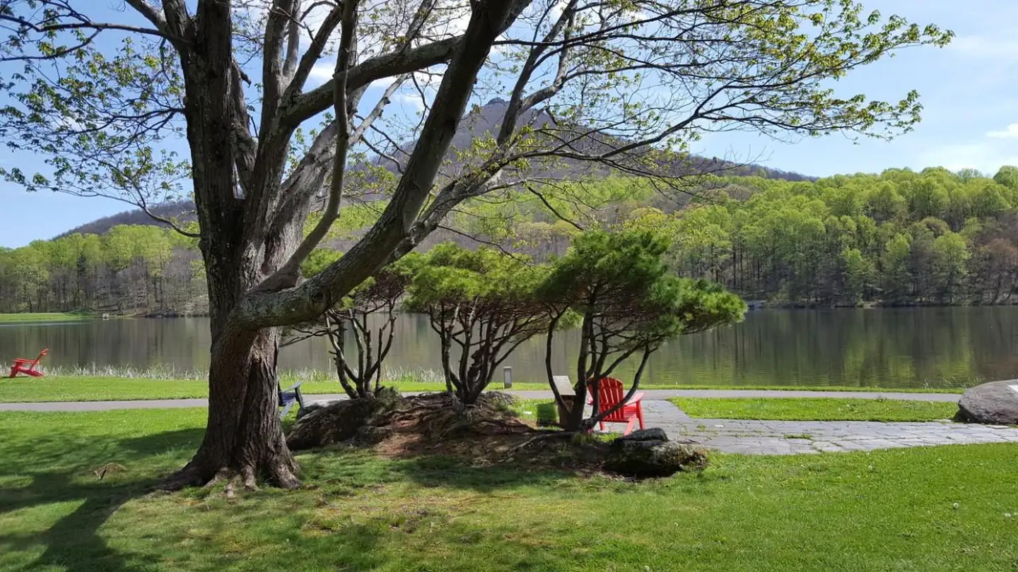
The Peaks of Otter Campground is nestled between the bases of two dominating mountains in the rolling hills of Virginia. Campers enjoy a rare serenity in this rustic…
Reserve on Recreation.gov- Hiking
- Fishing
- Picnicking
- Birding
Details
Overview
The Peaks of Otter Campground is nestled between the bases of two dominating mountains in the rolling hills of Virginia. Campers enjoy a rare serenity in this rustic setting. Relax, and leave your cares behind!
Recreation
The 24-acre Abbott Lake is one of the biggest attractions the Peaks of Otter Park has to offer. The lake is well-stocked with small mouth bass and bluegill. A crystal-clear mountain stream winds through the nearby picnic area.
Numerous hiking opportunities range from demanding, scaling the area's high mountain peaks, to the moderate short, flat trail around Abbott Lake. Hikers are likely to stumble upon one of the mountain meadows, filled with wildflowers and migrating butterflies in the spring and a fantastic assortment of colors in the fall.
Abundant wildlife like deer and wild turkey are spotted daily at the Peaks of Otter Campground, and many rare species of birds reside or migrate along the mountain ranges. Summer interpretive programs are provided for visitors to learn about the wildlife as well as the history of the area.Facilities
Campsites are shaded under an umbrella of thick trees, and provide campers with picnic tables, lantern poles, and campfire rings/grills. The campground also offers modern conveniences like flush toilets, drinking water and a dump station.
Peaks of Otter Campground almost always has campsites available. In addition to the 60 sites available for advance reservation, there are 79 first-come, first-served campsites available. Availability of first come, first served sites cannot be tracked through Recreation.gov. These sites must be booked in person at the campground kiosk.
Natural Features
Three mountain peaks sitting atop a thick blanket of forest make up the Peaks of Otter-- a recreational oasis spanning acre upon acre of rolling landscape along the famous Blue Ridge Parkway.
The Blue Ridge Parkway is a scenic byway that follows the high crests of the central and southern Appalachians for 469 miles from Shenandoah National Park in Virginia, to the Great Smoky Mountains National Park in North Carolina.Nearby Attractions
The Peaks of Otter Lodge and Restaurant are located within walking distance of the campground, as is the Sharp Top Country Store. Restaurant dining, grab-and-go meals, snacks, souvenir items, camping supplies, firewood, and ice are all readily available to campground patrons.
The Johnson Farm, an old mountain farmstead restored and preserved to look as it did in the mid-1800s, is just a short walk away. Another restored historic structure, Aunt Polly's Ordinary, sits on the northeastern shore of Abbott Lake. -
Rock Castle Gorge Backcountry Camping
Reservable Campground
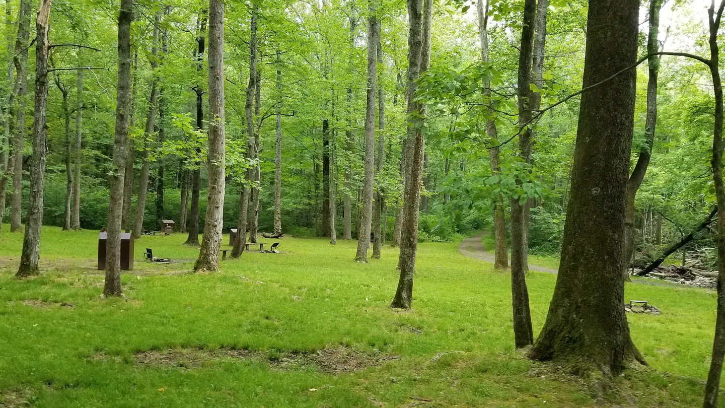
Rock Castle Gorge Backcountry Campground is a primitive camp located along the Rock Castle Gorge Trail in the Rocky Knob Recreational Area which is part of the Blue…
Reserve on Recreation.gov- Hiking
- Fishing
- Birding
- Photography
Details
Fees: Rock Castle Gorge Backcountry Campground reservations are available on a 6-month rolling basis prior to planned start dates. The backcountry camping permit fee is $15 per night per site. Do not print your permit until you have confirmed…
Overview
Rock Castle Gorge Backcountry Campground is a primitive camp located along the Rock Castle Gorge Trail in the Rocky Knob Recreational Area which is part of the Blue Ridge Parkway.
The Rock Castle Gorge Backcountry Campsites can be reached from various points ranging in distance from 1/2 mile to 8 miles.
The complete Rock Castle Gorge Trail is a 10.8 mile loop, there are several other loop trails that connect to it. Rock Castle Creek, Little Rock Castle Creek and many other streams and creeks meander along the trail and run right by the campground. Fishing requires a Virginia Fishing License, and the State of Virginia laws and regulations apply.
The year-round campground has eight campsites. Each has a fire ring/pad and food storage lockers. A Portable Toilet is available.
Plan to pack in your water for safety.
Summers are hot (70 to 88 Degrees) and humid as Rock Castle Creek is adjacent to the campground. Winter temperatures (Daytime 30 to 50 Degrees) can easily drop below freezing at night.
Recreation
Hiking, sightseeing, majestic Blue Ridge Parkway views and simple relaxation are all in store in the Rocky Knob Recreational Area.
Facilities
Campfire rings and food storage lockers are at each campsite. A portable toilet is available for campers. There is plenty of shade, Rock Castle Creek runs adjacent to the campground.
Natural Features
Venture into one of the Parkway’s more rugged areas at Rocky Knob. Hike through forests, explore mountain ridges, or enjoy spring wildflowers and rhododendrons. Rock Castle Creek, Little Rock Castle Creek and many other streams and creeks abound. Bare Rocks and other geological outcrops and long distance views from the upper elevations of the Rock Castle Gorge Trail are sure to please. Plenty of wildlife including black bears.
Contact Info
For facility specific information, please call (828) 276-2300.Nearby Attractions
Floyd, VA is less than 8 miles away, known for eclectic shops, mountain music venues and great places to eat along with grocery stores, variety stores and pharmacies.Visit Floyd Virginia
-
Rocky Knob Campground
Reservable Campground
Located on the famous Blue Ridge Parkway in the hills of rural Virginia, Rocky Knob Campground is nestled amid rolling meadowlands with impressive displays of seasonal…
Reserve on Recreation.gov- Hiking
- Picnicking
- Birding
- Interpretive Programs
Details
Overview
Located on the famous Blue Ridge Parkway in the hills of rural Virginia, Rocky Knob Campground is nestled amid rolling meadowlands with impressive displays of seasonal flowers, endless night skies and green pastures. Numerous nearby overlooks and the winding parkway provide an ideal backdrop for a traditional camping experience.Recreation
The campground is located in the Rocky Knob Recreation area, surrounded by more than 4,000 acres of forest.
The site offers easy access to the Rock Castle Gorge Trail, a 10.8-mile (17.4 km) loop trail ranging in elevation from 1,700 to 3,572 feet (518 to 1,089 m). Rock Castle Gorge, a 1,500-foot (457 m) ravine carved by the waters of Rock Castle Creek, is the focal point of this trail, offering hikers breathtaking scenery.Black Ridge Trail: a moderate 3-mile loop passing through the forest on a seldom-used gravel road and through a meadow. Accessed from the Rocky Knob Visitor Center.
Numerous tours and interpretive talks are given near the Gorge and surrounding trails during the summer, offering campers the chance to learn more about the area's historical significance and abundant plants and wildlife.
Facilities
Rocky Knob Campground combines the exhilaration of a traditional outdoor camping experience with modern amenities like flush toilets, dump station, and drinking water. Both RV and tent sites are available, each equipped with picnic tables, lantern poles, and fire rings/grills--perfect for picnics, barbecues or late night s'mores.
The campground almost always has campsites available. In addition to the 44 sites available for advanced reservation, 62 campsites are available on a first-come, first-served basis. Availability of the first come, first served sites cannot be tracked through Recreation.gov. The sites must be booked in person at the campground kiosk.Primitive Backcountry Camping is available at Rock Castle Gorge. Obtain a free permit from the Rocky Knob campground office (May-October) (540-745-9664) or the Rocky Knob District Office (540-745-9660).
Natural Features
The Blue Ridge Parkway is a scenic byway that stretches almost 500 miles along the crest of the Blue Ridge Mountains through North Carolina and Virginia. It offers plenty of natural attractions and recreational opportunities for visitors, as well as a cross-section of Appalachian mountain history from pre-historic times to early European settlements, and on to today. Rocky Knob Campground, one of the first established sites along the Blue Ridge Parkway, is home to several famous geological attractions. Rock Castle Gorge, known for its beautiful rock crystalline quartz formations, was once home to several mountain families. Visitors can still find remnants of their old apple orchards and abandoned stone chimneys along parkway trails.Nearby Attractions
The nearby town of Floyd offers entertainment, shopping, food, gas and lodging. There are also multiple wineries nearby that offer tours and tastings.
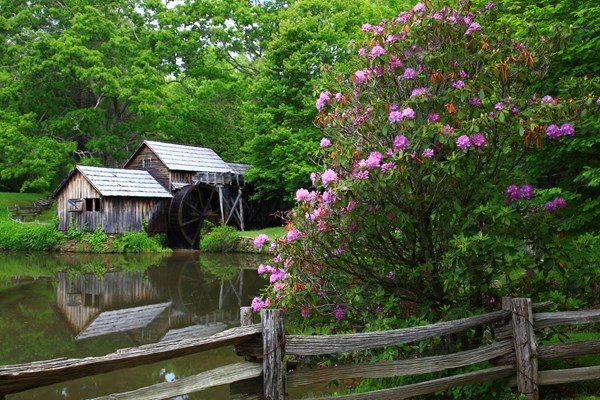
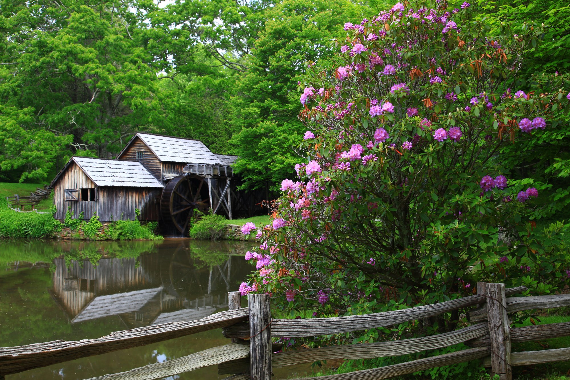
Visit Mabry Mill at milepost 176 near Meadows of Dan, Virginia.
The campground is about 30 miles from Mount Airy, North Carolina, the birthplace of actor Andy Griffith and the inspiration for the fictional TV-series town of Mayberry. Mount Airy also offers grocery stores, gas stations and medical facilities.
Facilities & Services
Find visitor centers and other services available in the park. Check current hours and availability before you go.
Visitor Centers
-
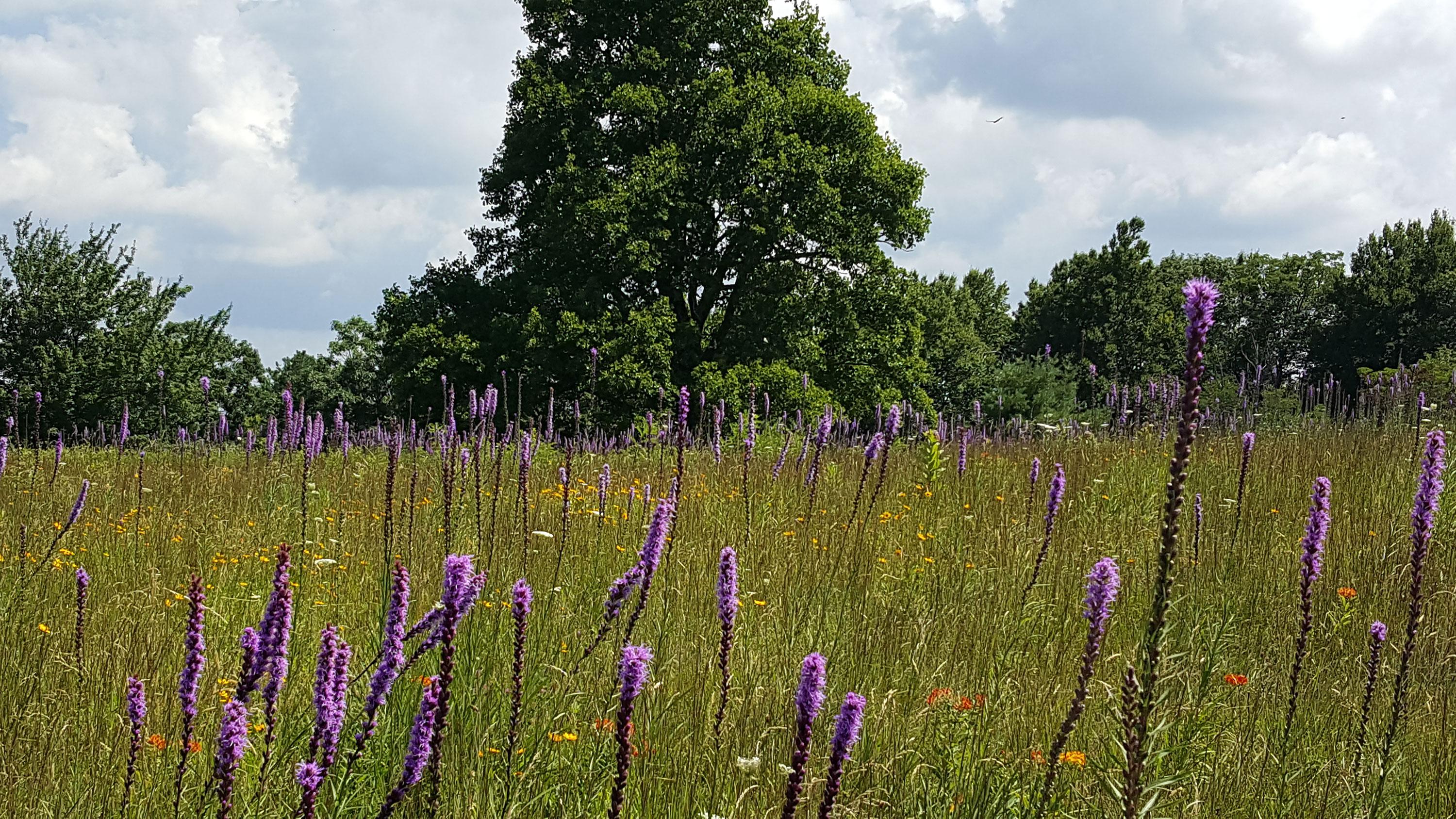
Doughton Park Visitor Center (Milepost 241)
Visitor Center
Numerous hiking options are available in the Doughton Park area and nearby Brinegar Cabin offers insights into mountain living in the late 19th and early 20th centuries.
Doughton Park Visitor Center, Laurel Springs, NC (828) 348-3400 Directions
Details
Numerous hiking options are available in the Doughton Park area and nearby Brinegar Cabin offers insights into mountain living in the late 19th and early 20th centuries.
Other Visitor Services
-
Blue Ridge Music Center (Milepost 213)
Facility
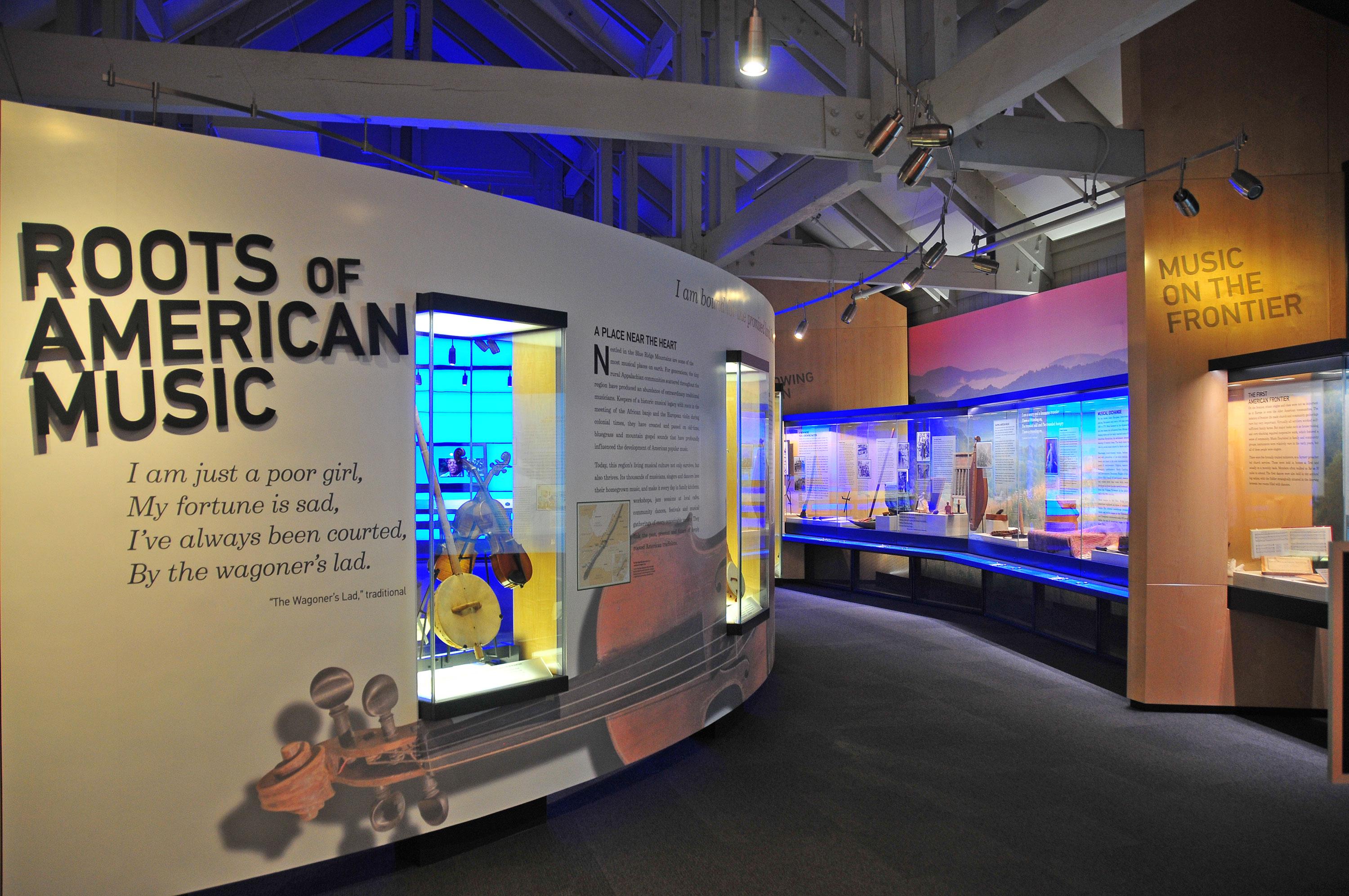
The Blue Ridge Music Center celebrates the music and musicians of the Blue Ridge. Established by the U.S. Congress in 1997, with support from The National Council for…
700 Foothills Road, Galax, VA (828) 348-3400 Directions
Details
The Blue Ridge Music Center celebrates the music and musicians of the Blue Ridge. Established by the U.S. Congress in 1997, with support from The National Council for the Traditional Arts, the Music Center includes an outdoor amphitheater, an indoor theater, and exhibits highlighting the historical significance of the region’s music. -
Blue Ridge Parkway Visitor Center (Milepost 384)
Facility
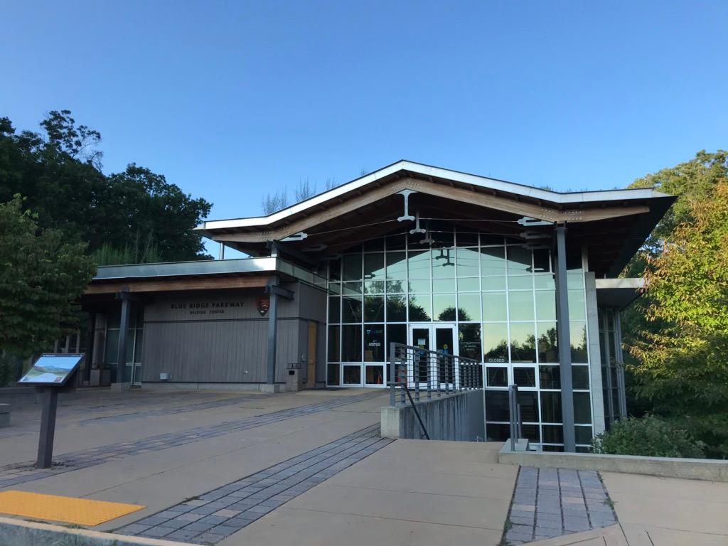
The visitor center features exhibits that showcase the natural and cultural history of the area, as well as the recreational opportunities offered by the region. You are…
195 Hemphill Knob Rd, Asheville, NC (828) 348-3550 Directions
Details
The visitor center features exhibits that showcase the natural and cultural history of the area, as well as the recreational opportunities offered by the region. You are able to watch the Parkway film at this location as well. Open year-round, the visitor center features National Park Service information desk, and America's National Parks store. -
Craggy Gardens Visitor Center (Milepost 364)
Facility
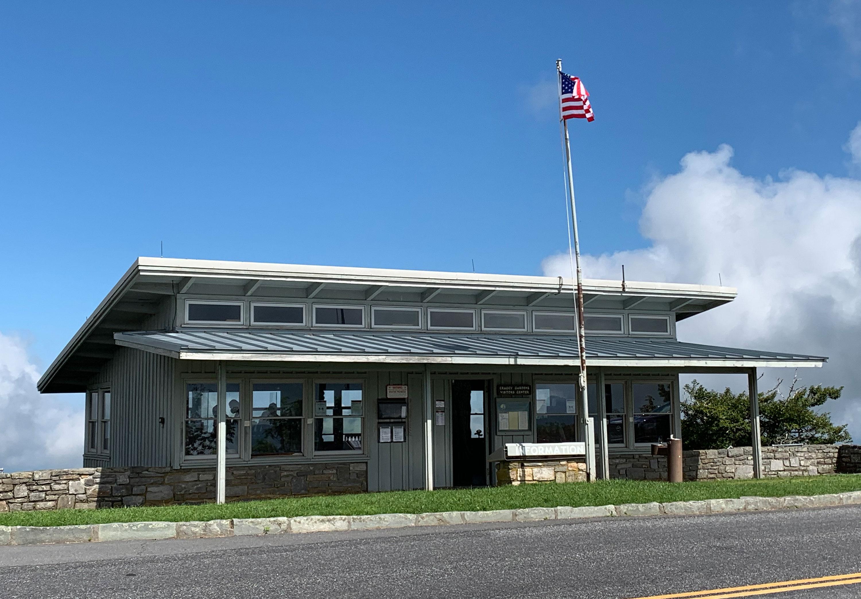
The small, historic visitor center and America's National Parks store is nestled in the gap between the rocky, Craggy Mountains. At over 5,000 feet elevation, harsh…
Milepost 364, Ivy, NC (828) 348-3400 Directions
Details
The small, historic visitor center and America's National Parks store is nestled in the gap between the rocky, Craggy Mountains. At over 5,000 feet elevation, harsh weather often invades these exposed ridges, resulting in the gnarled forests of beech, birch, and buckeye. These summits have been home to some of the most spectacular rhododendron displays along the Parkway corridor. -
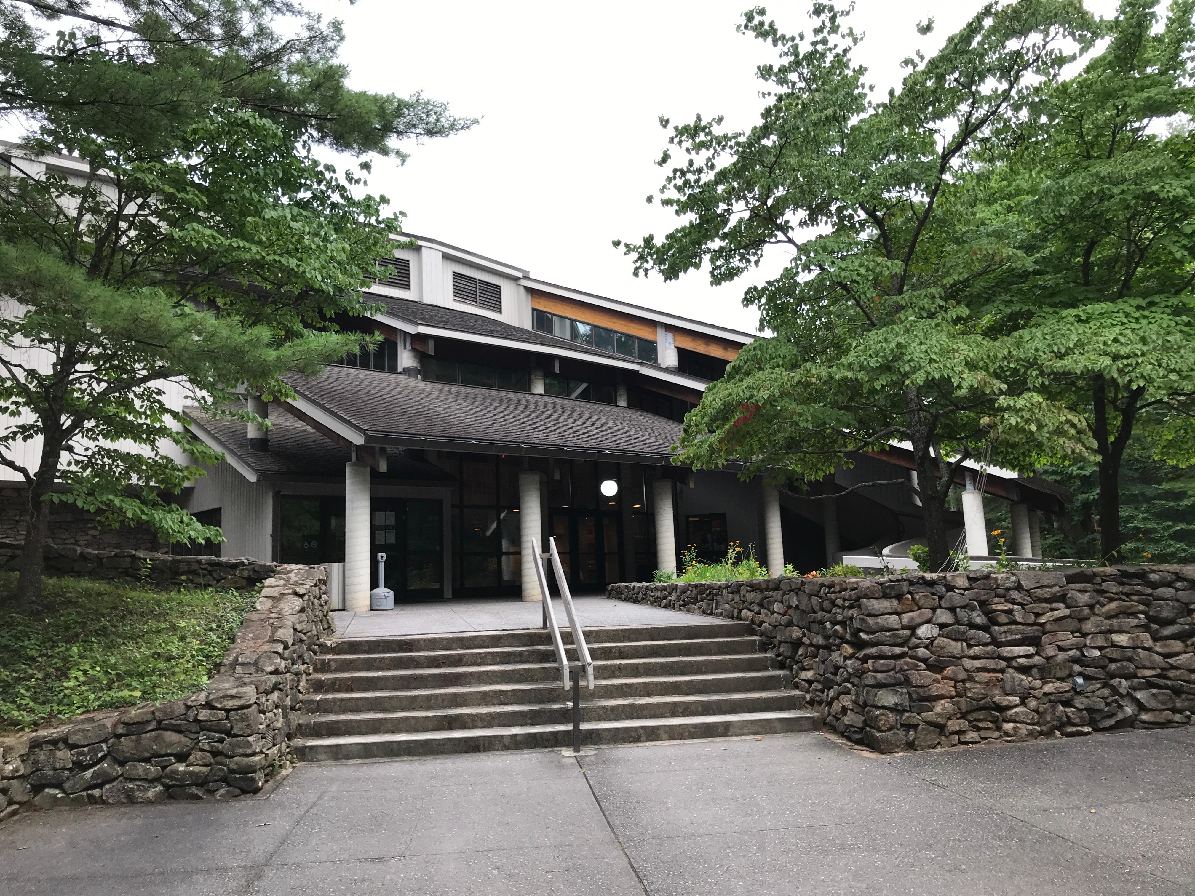
Folk Art Center (Milepost 382)
Facility
The Southern Highland Craft Guild hosts a large craft shop, craft demonstrators and upstairs galleries showcasing regional craftspeople. Within the Folk Art Center is…
Milepost 382, Asheville, NC Directions
Details
The Southern Highland Craft Guild hosts a large craft shop, craft demonstrators and upstairs galleries showcasing regional craftspeople. Within the Folk Art Center is also an America's National Parks store. -
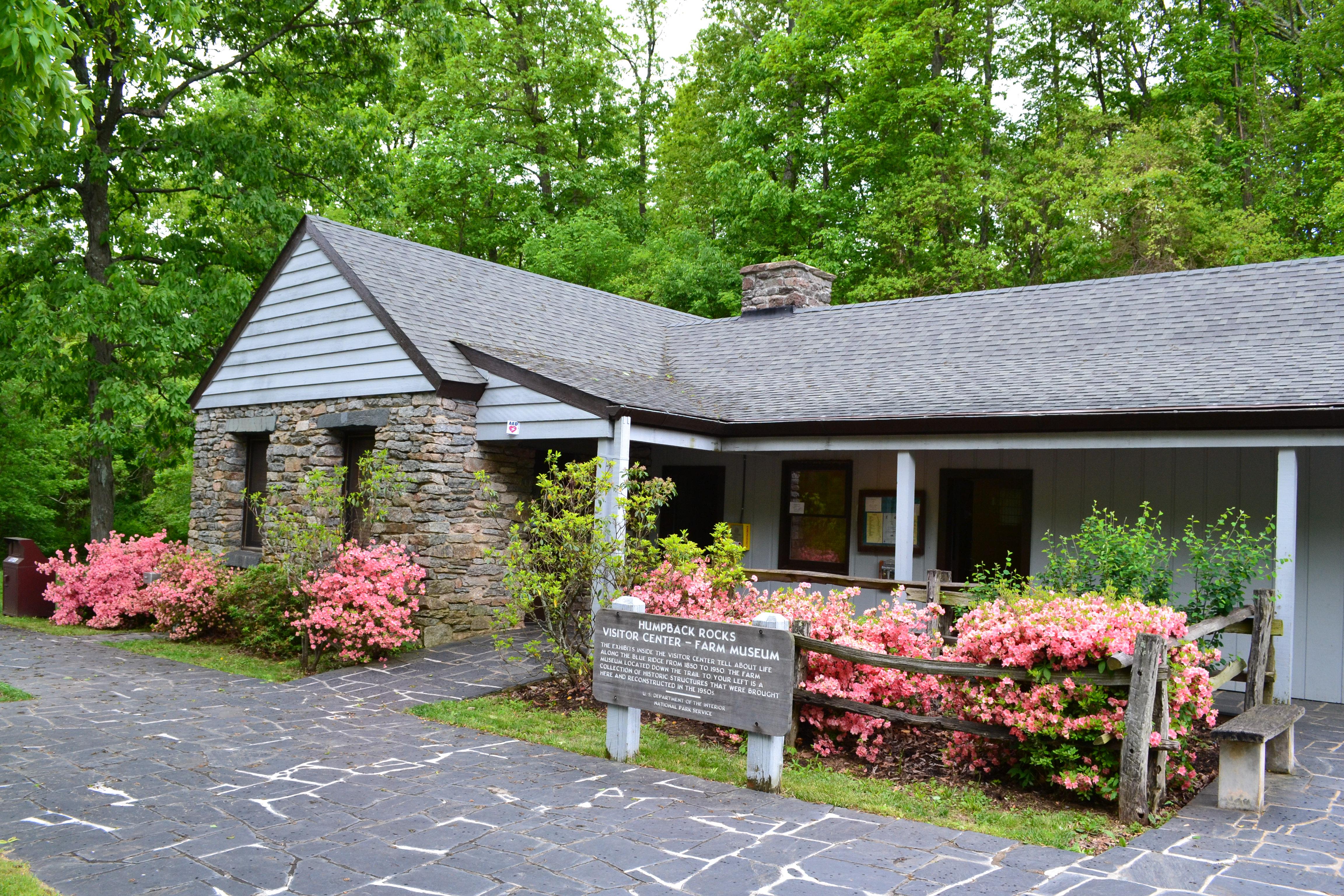
Humpback Rocks Visitor Center (milepost 5.8)
Facility
The rock outcroppings on the mountain and the relocated collection of 1890s farm buildings where settlers scratched out a living in the rocky soil makes Humpback Rocks…
5846 Blue Ridge Parkway, Waynesboro, VA (540) 943-4716 Directions
Details
The rock outcroppings on the mountain and the relocated collection of 1890s farm buildings where settlers scratched out a living in the rocky soil makes Humpback Rocks perhaps the best representation of the varied combination of natural and cultural features anywhere along the Parkway corridor.
Show 8 more facilities
Other Visitor Services
-
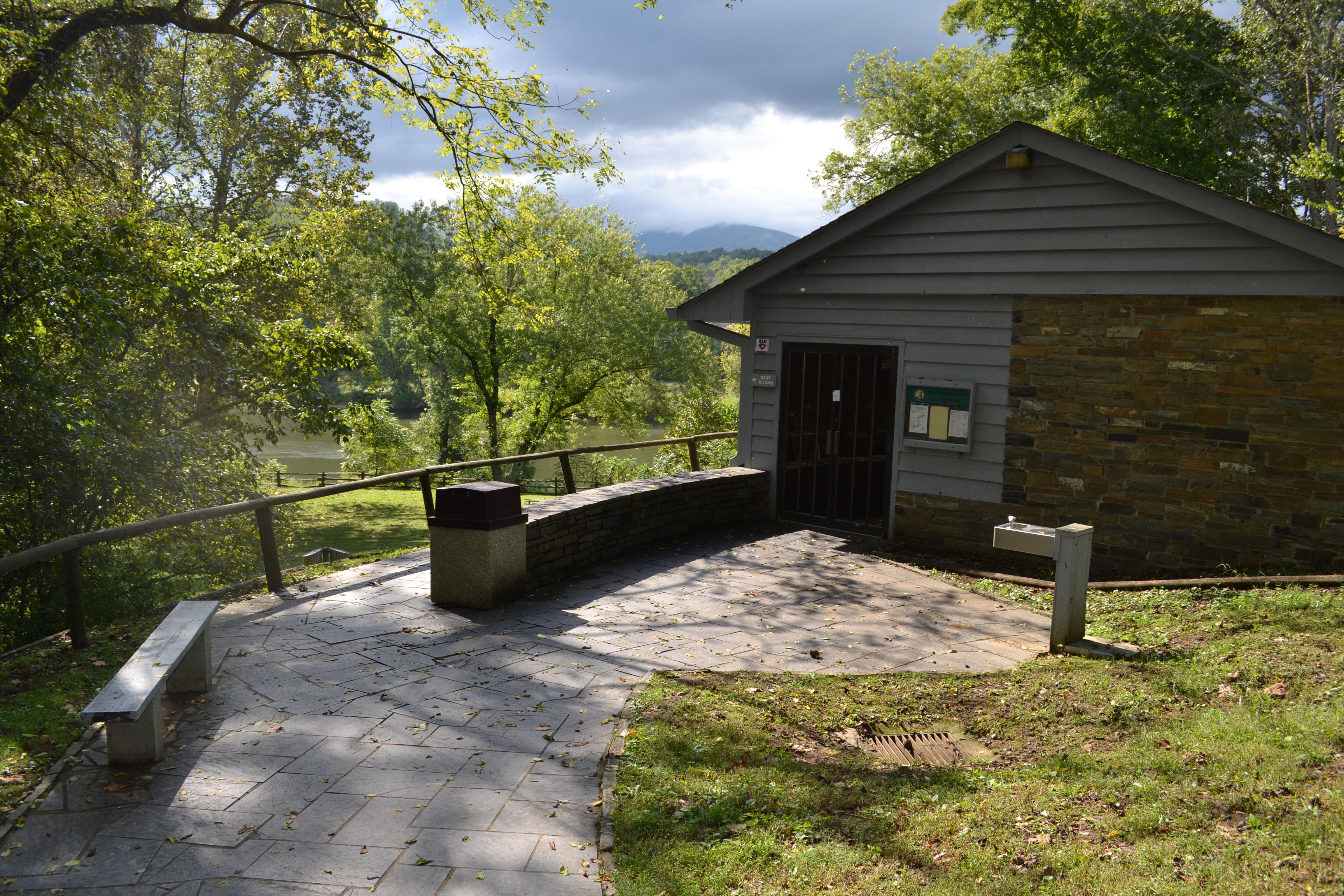
James River Visitor Center (Milepost 63.6)
Facility
The James River visitor center is closed. The James River area offers visitors the opportunity to learn about transportation history in central and southern Appalachia.
Asheville, NC Directions
Details
The James River visitor center is closed. The James River area offers visitors the opportunity to learn about transportation history in central and southern Appalachia. -
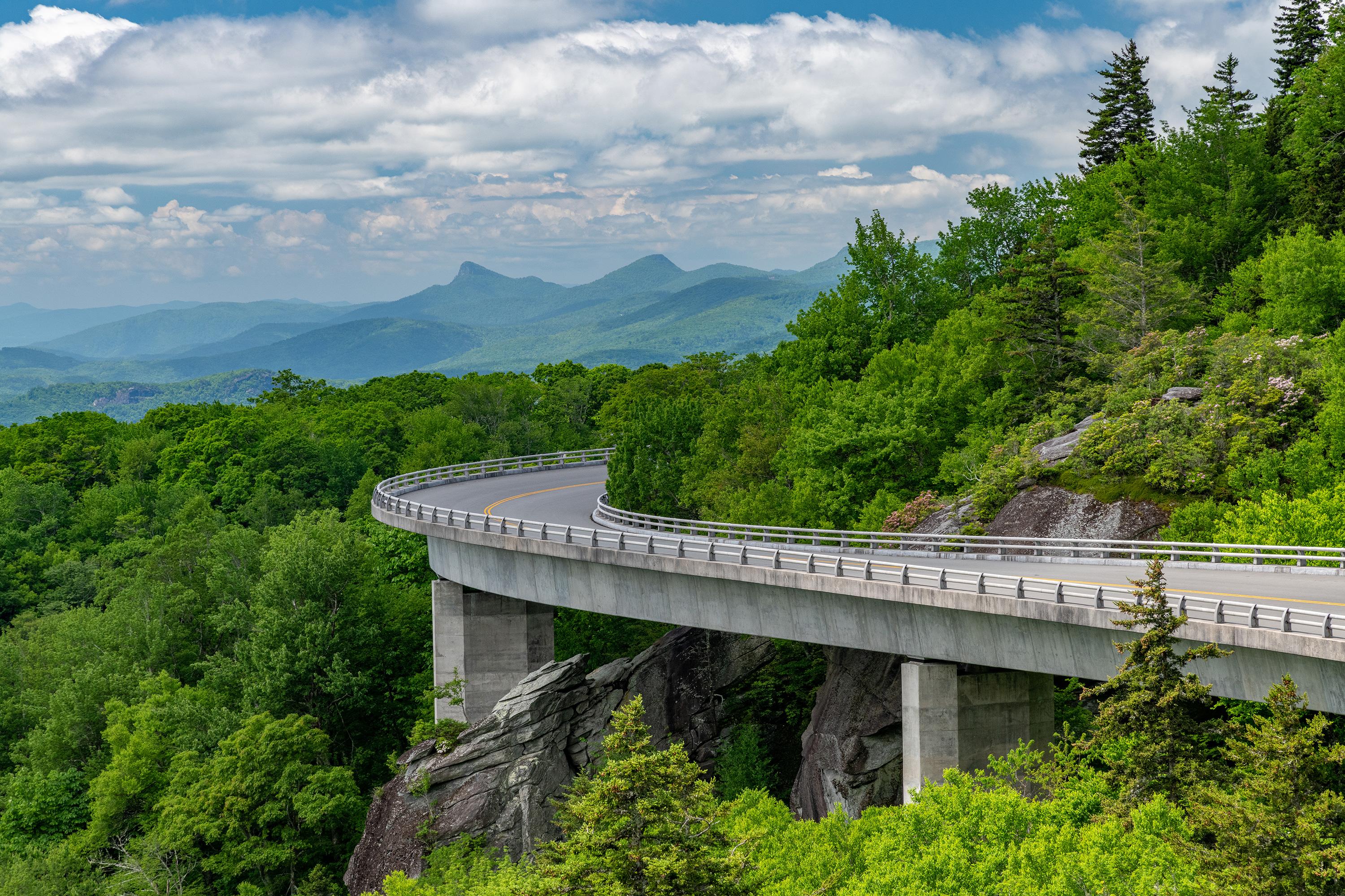
Linn Cove Viaduct Visitor Center (Milepost 304)
Facility
The rugged slopes of Grandfather Mountain proved a challenging task to engineers as they completed the last section of the Parkway here in 1987, 52 years after…
Milepost 304.4, Linville, NC Directions
Details
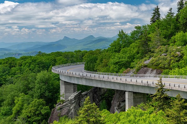
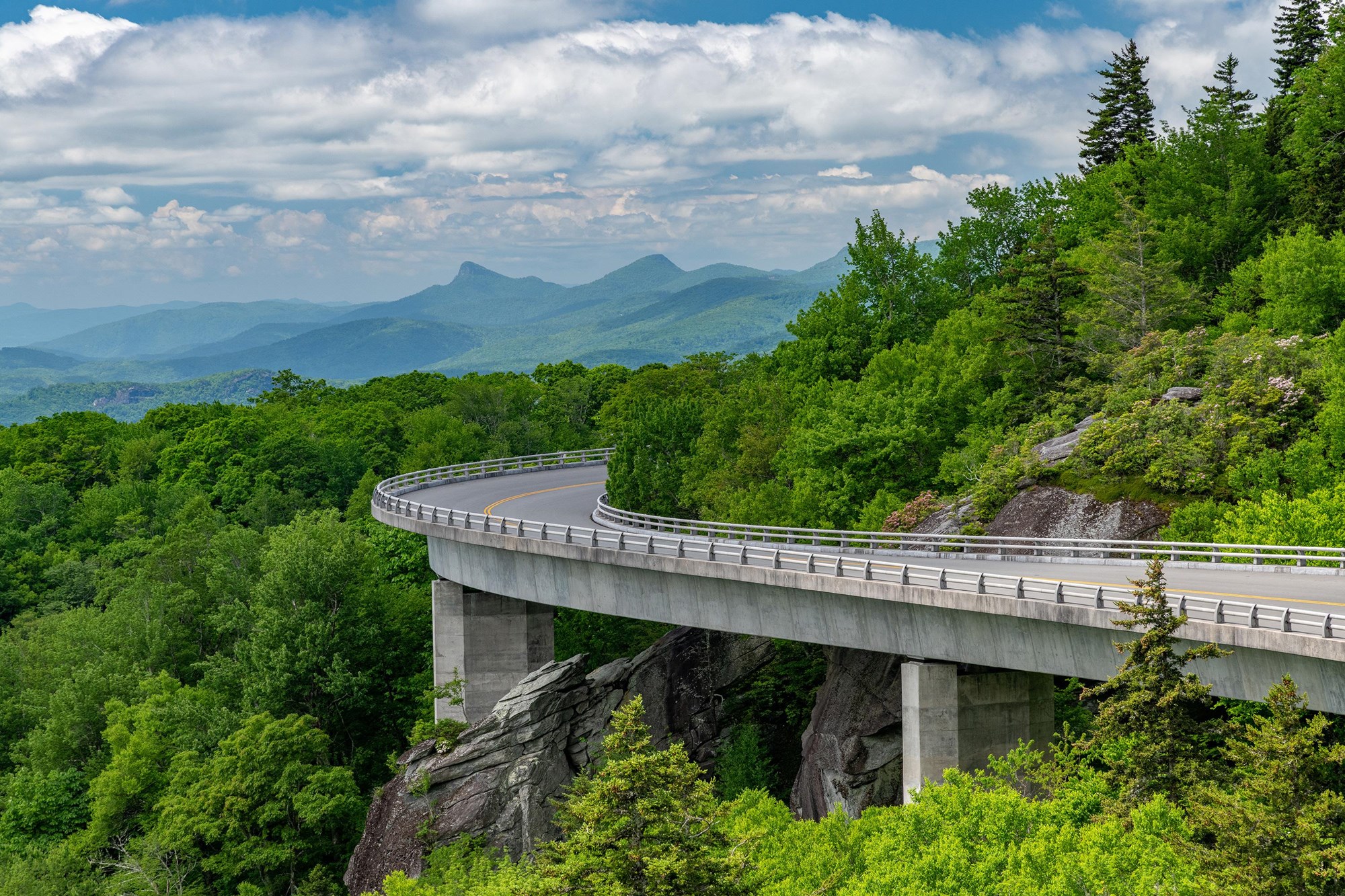
The rugged slopes of Grandfather Mountain proved a challenging task to engineers as they completed the last section of the Parkway here in 1987, 52 years after construction began. To protect the fragile and ecologically sensitive slopes of the mountain, Parkway planners designed the award-winning Linn Cove Viaduct, and the visitor center at MP 304 celebrates this achievement. The beautiful Tanawah Trail runs nearby. The visitor center is currently closed, but parking lot is open for trail access. -
Linville Falls Visitor Center (Milepost 316)
Facility
This facility was heavily impacted by Hurricane Helene and is closed for 2026. The Linville River flows from its headwaters high on the steep slopes of Grandfather…
Milepost 317, Linville Falls, NC Directions
Details
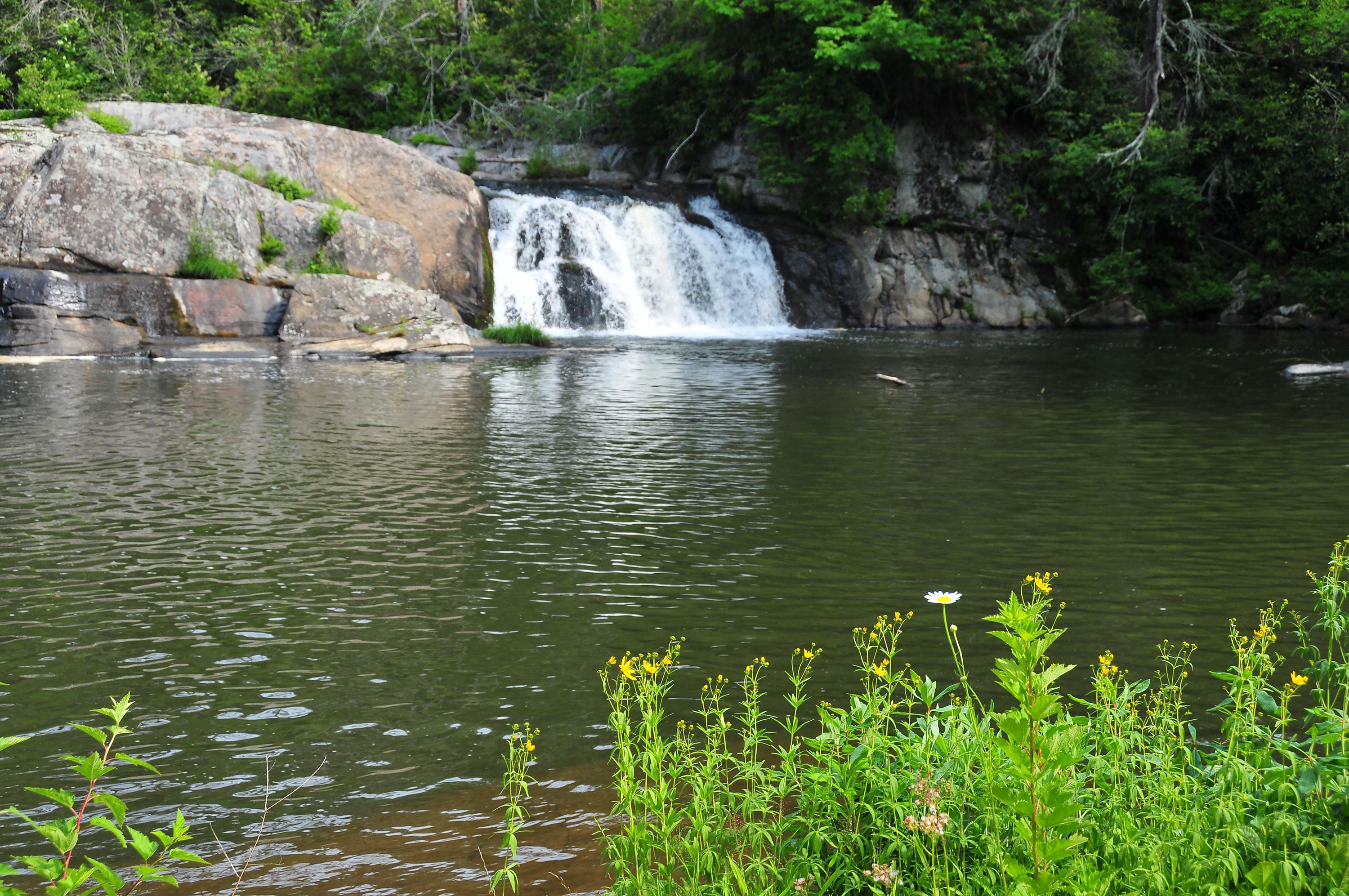
This facility was heavily impacted by Hurricane Helene and is closed for 2026. The Linville River flows from its headwaters high on the steep slopes of Grandfather Mountain and cascades through two falls as it begins a nearly 2,000-foot descent through this rugged and spectacularly beautiful gorge, carved out by the tall Linville Falls. Towering hemlocks, dense stands of rhododendron, and native wildflowers grow along the trails that begin at the visitor center and encircle the falls. -
Moses Cone Manor House and Visitor Center (Milepost 294)
Facility
This visitor center information desk, America's National Parks store and Southern Highland Craft Guild craft shop share a grand, historic estate house. The visitor…
Milepost 294.0, Blowing Rock, NC (828) 295-3782 Directions
Details
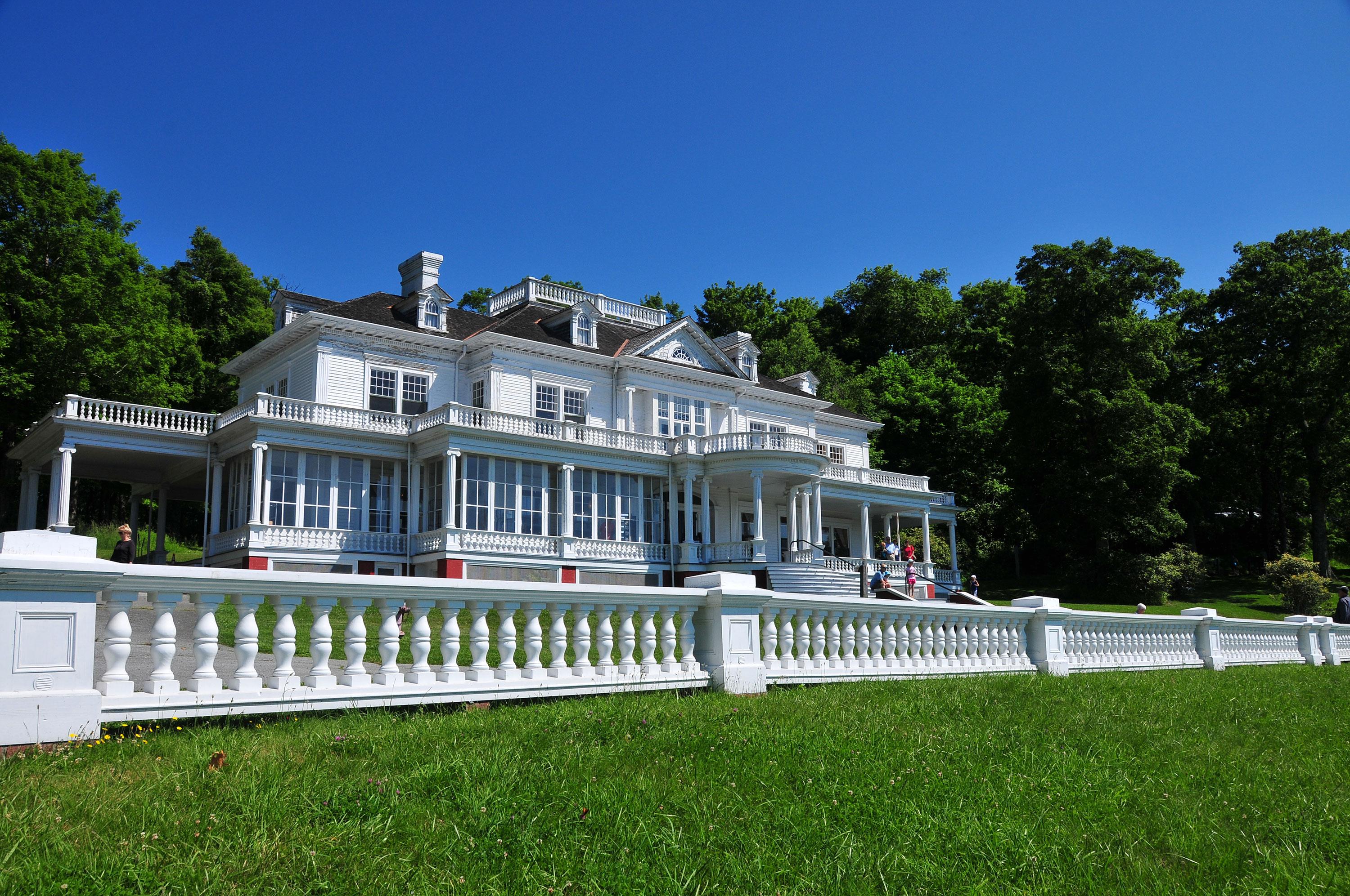
This visitor center information desk, America's National Parks store and Southern Highland Craft Guild craft shop share a grand, historic estate house. The visitor information desk is open from May through October. The America's National Parks store and the Southern Highland Craft Guild craft shop is open from mid April through November. The estate grounds have 25 miles of carriage roads for strolling, small lakes and other historic structures. -
Museum of North Carolina Minerals (Milepost 331)
Facility
The Museum of North Carolina Minerals highlights the rich mineral resources and the mining heritage of this portion of the Blue Ridge. The museum has interactive…
Milepost 331, Spruce Pine, NC (828) 765-2761 Directions
Details
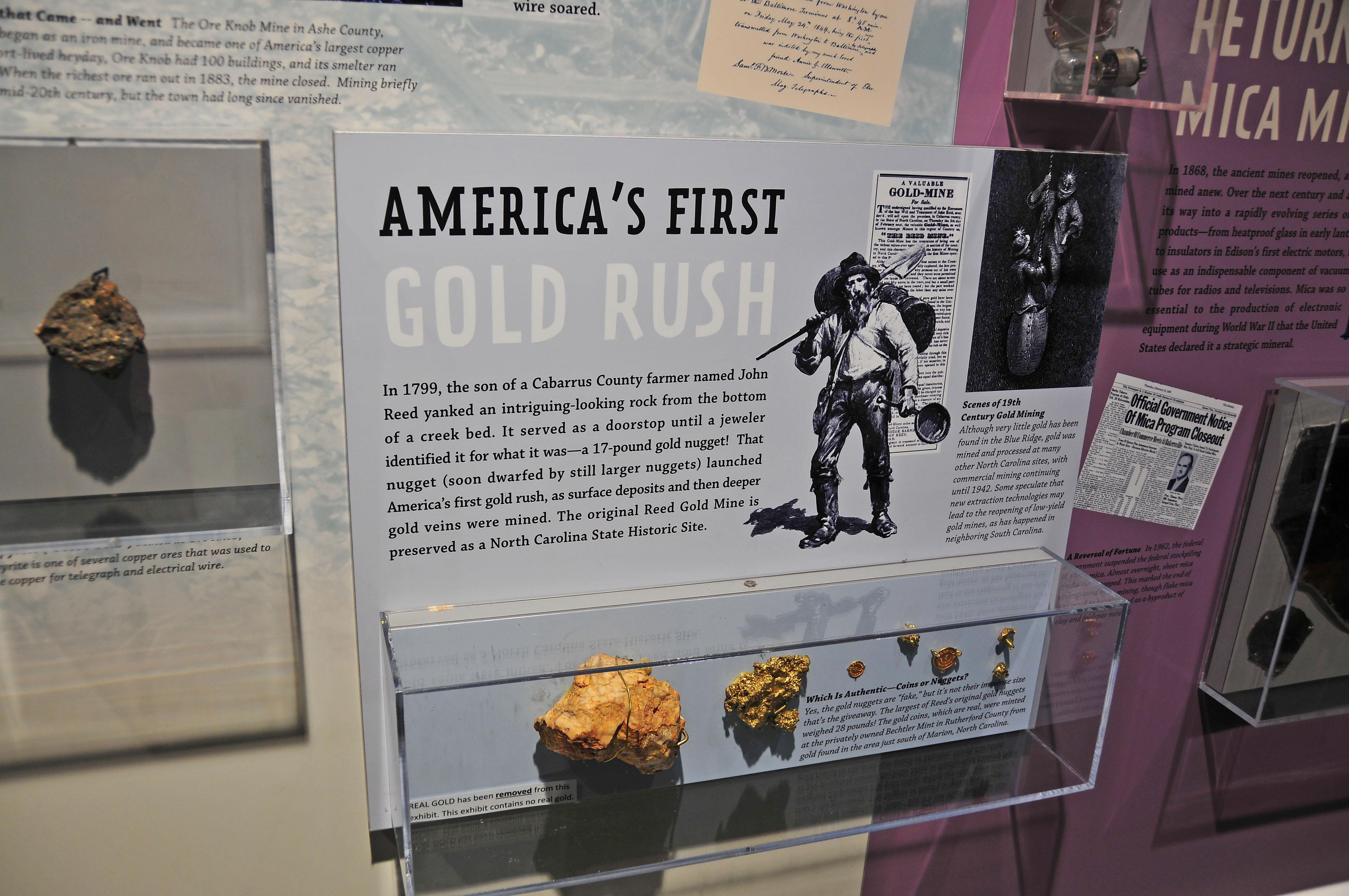
The Museum of North Carolina Minerals highlights the rich mineral resources and the mining heritage of this portion of the Blue Ridge. The museum has interactive exhibits. This area, called Gillespie Gap, was also significant in the American Revolution, where frontiersmen from the mountains known as the "Overmountain Men" crossed the Blue Ridge on their way to the Battle of Kings Mountain. -
Peaks of Otter Visitor Center (Milepost 85.6)
Facility
Visitors of the Peaks of Otter gain a sense of both the history of community and tourism in the Blue Ridge Mountains. The long history of visiting the mountains for…
85919 Blue Ridge Parkway, Bedford, VA (540) 586-4496 Directions
Details
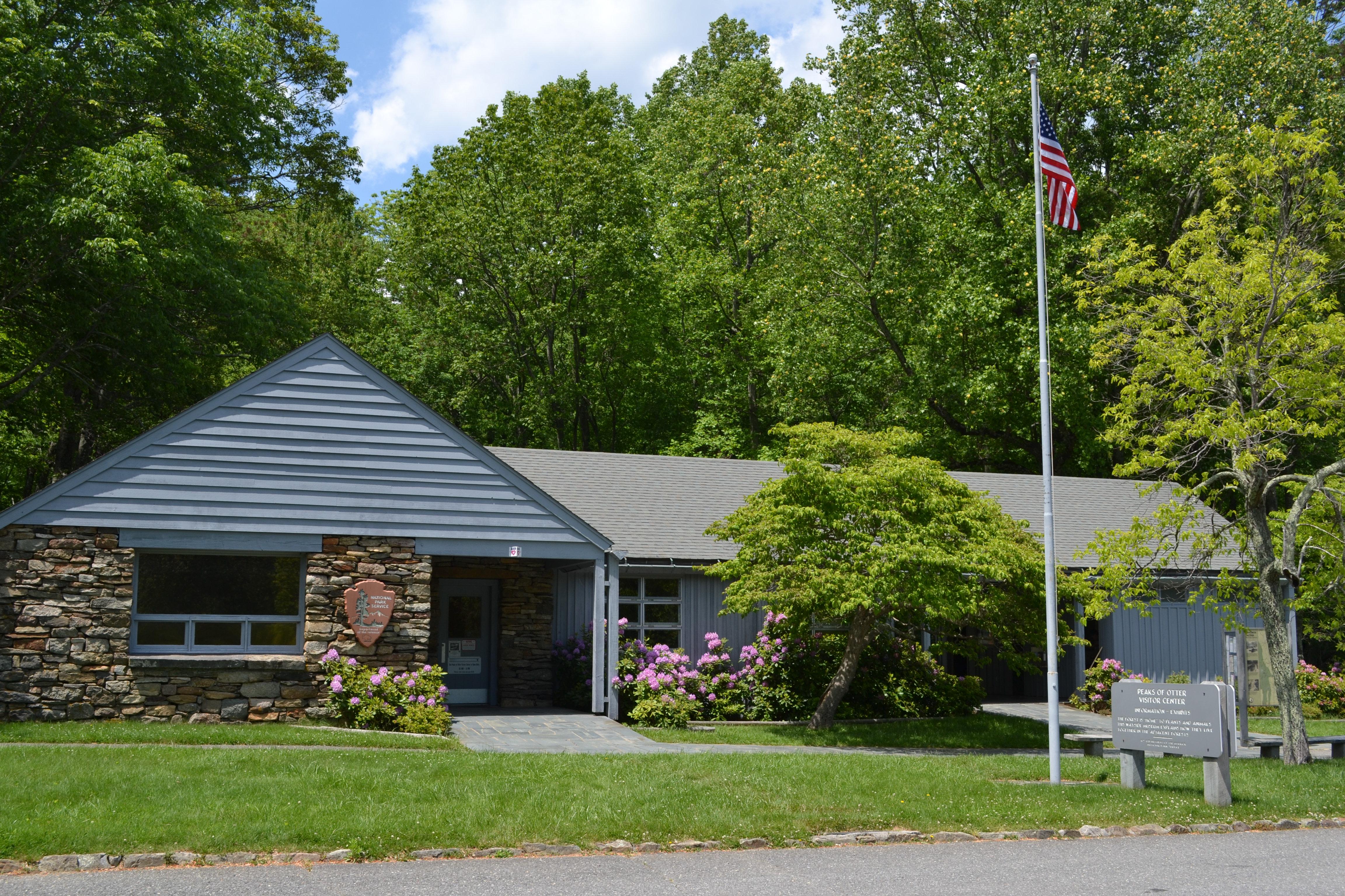
Visitors of the Peaks of Otter gain a sense of both the history of community and tourism in the Blue Ridge Mountains. The long history of visiting the mountains for health and relaxation is told in the visitor center. An extensive trail system is available with the hike to Sharp Top being a long-standing tradition. Dining and lodging are available, along with fishing in Abbott Lake, camping, and picnicking. -
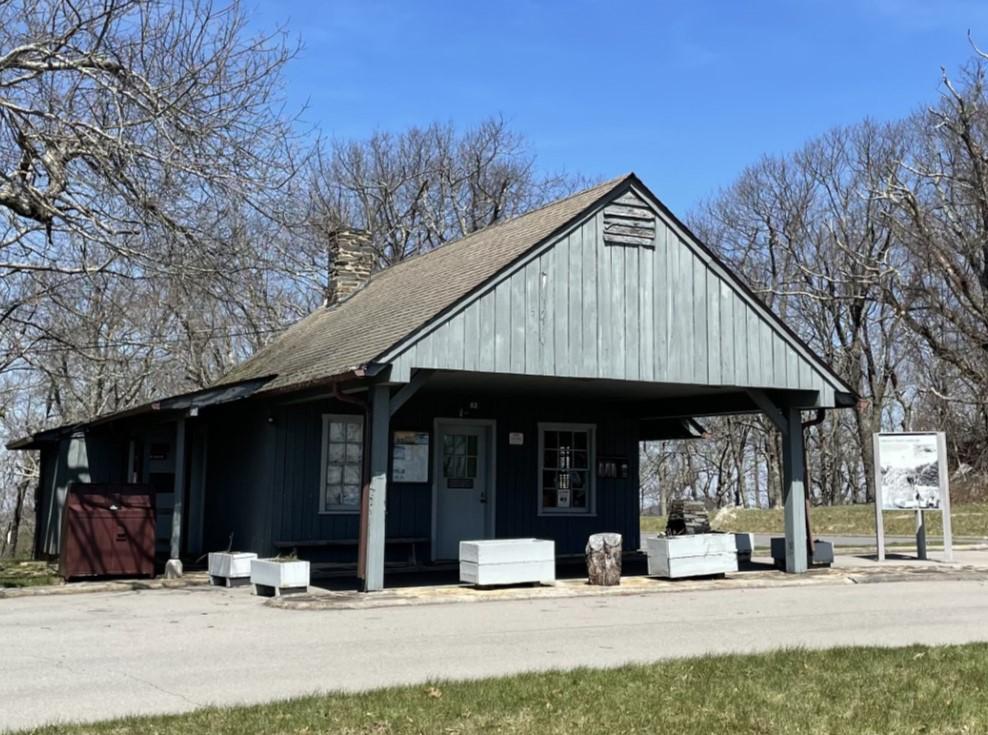
Rocky Knob Visitor Center (Milepost 169)
Facility
The Rocky Knob area offers a visitor center, campground, and 15 miles of hiking trails, including the Rock Castle Gorge National Recreation Trail. Picturesque Mabry Mill…
Blue Ridge Parkway Milepost, Asheville, NC (828) 348-3400 Directions
Details
The Rocky Knob area offers a visitor center, campground, and 15 miles of hiking trails, including the Rock Castle Gorge National Recreation Trail. Picturesque Mabry Mill is located just a few miles south of Rocky Knob. -
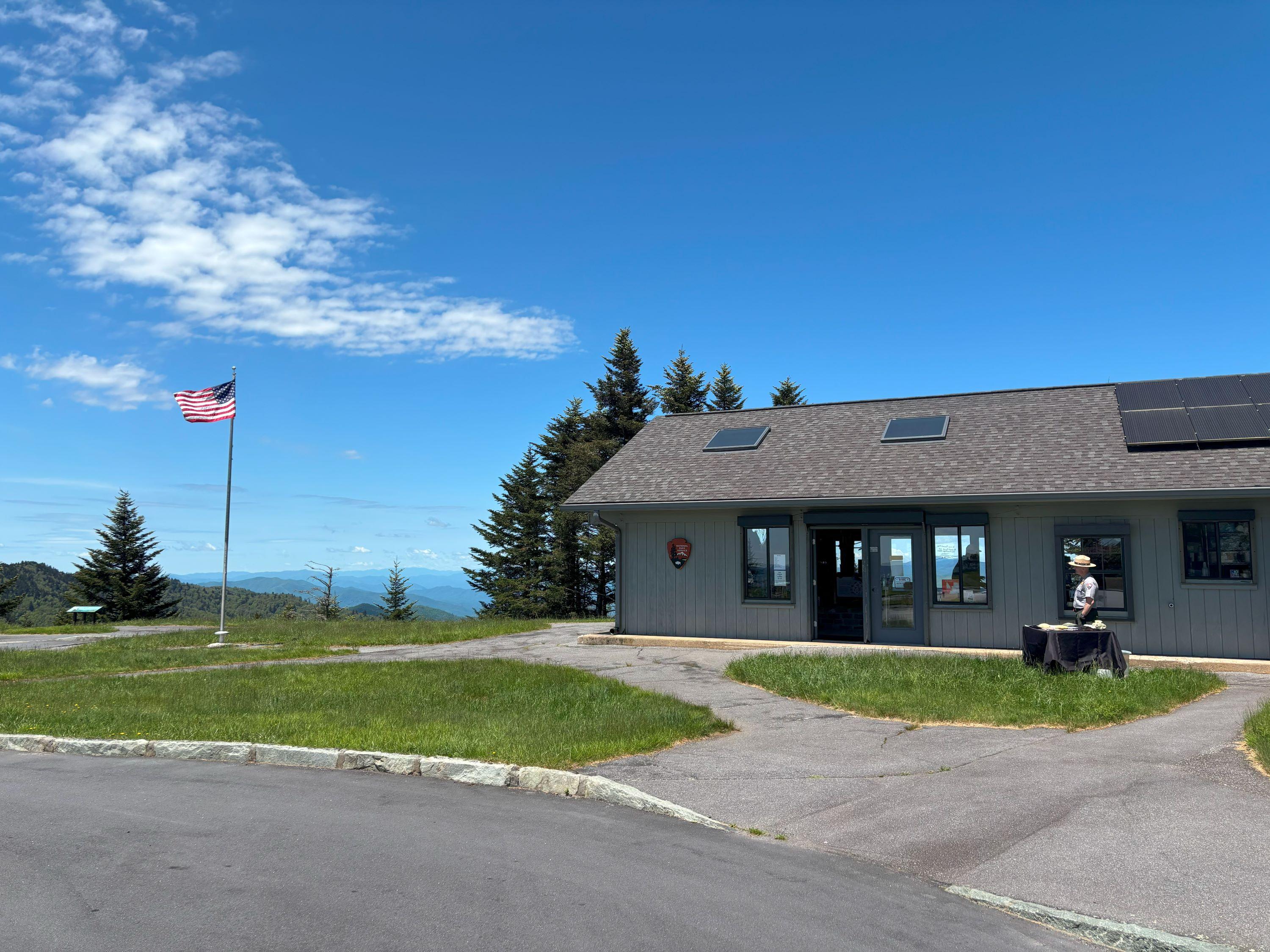
Waterrock Knob Visitor Center (Milepost 451.2)
Facility
Waterrock Knob is our highest elevation visitor center on the Parkway. Known for its beautiful long-range views of several major mountain chains in the Appalachians…
Milepost 451.2, Scott Creek, NC (828) 348-3400 Directions
Details
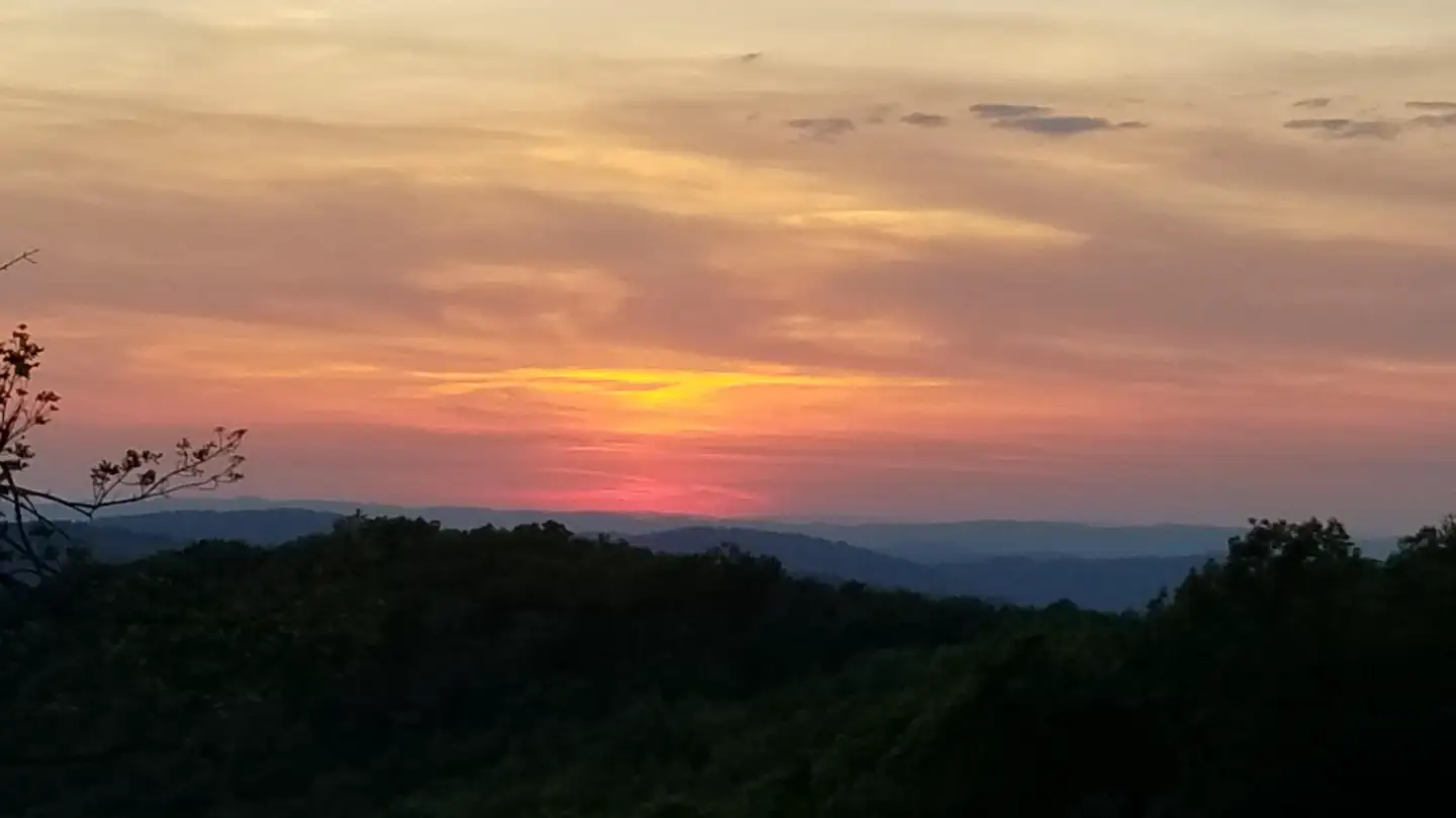
Waterrock Knob is our highest elevation visitor center on the Parkway. Known for its beautiful long-range views of several major mountain chains in the Appalachians, Waterrock Knob is uniquely suited for viewing sunrises and sunsets. The small visitor center introduces visitors to the area's rugged terrain and tremendous scenic resources, including the Great Smoky Mountains that are visible from here.
Plan Your Visit
Hours
Open 24 hours, daily · Parkway Road Hours
Hours details
-
Parkway Road HoursOpen 24 hours, daily
The road is open 24 hours a day, weather permitting. Road closures due to inclement weather occur most frequently during winter. Sections of the road may also be closed during road maintenance projects. Check our road closure map to verify that the parkway is open before traveling. Visitor centers and other facilities have hours and seasons that vary. Most picnic areas, campgrounds, and visitor centers are closed from the beginning of November until early May.
Entrance fees
No entrance fees listed.
Contact the park
Weather & conditions
76°F
Sunny · feels like 69°
-
Today
76° 53°
Sunny10% rain
-
Tomorrow
82° 50°
Sunny4% rain
-
Wednesday
84° 54°
Sunny4% rain
Updated 3 hr ago
What to expect by season
The weather on the parkway can vary widely along its 469-mile route. Precipitation is possible any time of the year. Winter can be cold and snowy, especially at the higher elevations. Spring and fall can have large temperature swings, from near freezing to over 80 degrees Fahrenheit. Summers are hot in the lower elevations, but the highest elevations remain cooler. Summertime thunderstorms are common, so be prepared for weather changes.
Upcoming Events
10 coming up-
Brinegar Cabin Open House (Doughton Park - Milepost 238.5)
About
Step back into the late 1800s at one of Doughton Park’s most cherished historic sites. Completed in 1889, the Brinegar family home offers visitors a window into mountain life shaped by resilience, craftsmanship, and community. Also, walk through the garden and see whats growing! Rangers and volunteers are on site to share stories of the Brinegar Family. -
Historic Mill Open House (Mabry Mill - Milepost 176.2)
About
Take a stroll back in time at the historic Mabry Mill, a beloved Blue Ridge icon.
Built by Ed Mabry with help from the local community in the early 1900s, this humble mill once bustled with the sounds of a working mountain hub. A sawmill, gristmill, and woodworking shop powered daily life here, serving neighbors scattered across the rugged landscape.Today, the tradition of craftsmanship and community continues. Park employees will have the mill doors open for you, ready to welcome visitors inside to explore the machinery, hear the stories, and experience the lives shaped by this remarkable place.
-
History, Naturally: Ranger-Led Talks and Activities (Blue Ridge Parkway Visitor Center - Milepost 384)
About
The Blue Ridge mountains have a long history, both when it comes to nature, and when it comes to people. And park rangers get excited about all of it. There’s so much to cover, we change the topics of our talks and activities often; that way we can show off more of what’s important in our resource-rich region!
We may be doing a deep dive into forest ecology. We might break out the tools for some traditional handicrafts. Or we may just decide to feature a favorite, but neglected critter. Come for the surprise, stay to find out why it matters!
-
History, Naturally: Ranger-Led Talks and Activities (Blue Ridge Parkway Visitor Center - Milepost 384)
About
The Blue Ridge mountains have a long history, both when it comes to nature, and when it comes to people. And park rangers get excited about all of it. There’s so much to cover, we change the topics of our talks and activities often; that way we can show off more of what’s important in our resource-rich region!
We may be doing a deep dive into forest ecology. We might break out the tools for some traditional handicrafts. Or we may just decide to feature a favorite, but neglected critter. Come for the surprise, stay to find out why it matters!
Show 6 more events
-
Midday Mountain Music (Blue Ridge Music Center - Milepost 213)
Event page for Midday Mountain Music (Blue Ridge Music Center - Milepost 213) (opens in a new tab)About
Midday Mountain Music is a free, informal music presentation featuring local and regional musicians held in the Blue Ridge Music Center's covered breezeway, milepost 213 on the Blue Ridge Parkway near Galax, Virginia. Midday Mountain Music takes place from 12-3pm each day when the Music Center is open. Join us for a few minutes or for the whole afternoon! No tickets are needed.
-
More than Mountains: Ranger-Led Talks and Activities (Craggy Gardens Visitor Center - Milepost 364)
About
Craggy Gardens may be famous for it’s gorgeous views and natural grassy balds, but there’s more to the mountains than meets the eye. What about watersheds, salamanders, and mica mines? Or the Civilian Conservation Corps, ravens, and ring-necked snakes? Our seasonal programs range from forest ecology to historical handicrafts, and everything in between. Come learn something new or revisit something familiar; it’s all a key aspect of the Blue Ridge!
-
The Ramblin’ Bald: Guided High Elevation Hike (Craggy Gardens Visitor Center - Milepost 364)
About
Come join a ranger for a guided hike in our changeable mountains! The land is always in flux, whether it’s seasonal flowers, deep geological time, or varied land use throughout human history. While hike topics may change from day to day, there is one constant throughout; the beauty unique to the high elevations on Blue Ridge Parkway!
The hike will be approximately 1 mile out and back, and the trail is easy-to-moderate, on rocky terrain. Expect the trail to be slick, especially if there has been dense fog or rain recently.
You must wear closed-toed shoes appropriate for a trail walk. Please bring water and rain gear in case of a turn in the weather. If there is light rain, the hike will continue if everyone is sufficiently prepared. In the event of thunder or other dangerous conditions, the hike will be canceled.
-
More than Mountains: Ranger-Led Talks and Activities (Craggy Gardens Visitor Center - Milepost 364)
About
Craggy Gardens may be famous for it’s gorgeous views and natural grassy balds, but there’s more to the mountains than meets the eye. What about watersheds, salamanders, and mica mines? Or the Civilian Conservation Corps, ravens, and ring-necked snakes? Our seasonal programs range from forest ecology to historical handicrafts, and everything in between. Come learn something new or revisit something familiar; it’s all a key aspect of the Blue Ridge!
-
The Ramblin’ Bald: Guided High Elevation Hike (Craggy Gardens Visitor Center - Milepost 364)
About
Come join a ranger for a guided hike in our changeable mountains! The land is always in flux, whether it’s seasonal flowers, deep geological time, or varied land use throughout human history. While hike topics may change from day to day, there is one constant throughout; the beauty unique to the high elevations on Blue Ridge Parkway!
The hike will be approximately 1 mile out and back, and the trail is easy-to-moderate, on rocky terrain. Expect the trail to be slick, especially if there has been dense fog or rain recently.
You must wear closed-toed shoes appropriate for a trail walk. Please bring water and rain gear in case of a turn in the weather. If there is light rain, the hike will continue if everyone is sufficiently prepared. In the event of thunder or other dangerous conditions, the hike will be canceled.
-
Building Appalachia: A Geologic Story (Ranger Talk – Museum of North Carolina Minerals milepost 331)
About
Formed over the eons by titanic forces within the earth, the mountains of Appalachia are among the most majestic mountains on earth. Stop by the Museum of North Carolina Minerals to enjoy a 20-minute ranger talk & learn more about the fascinating geologic history of the Blue Ridge.
Ranger talk presented at the Museum of North Carolina Minerals (Parkway milepost 331)
Photos
-
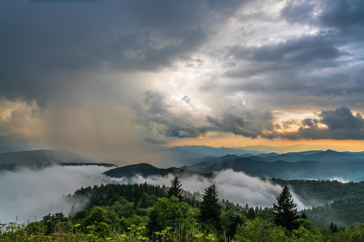
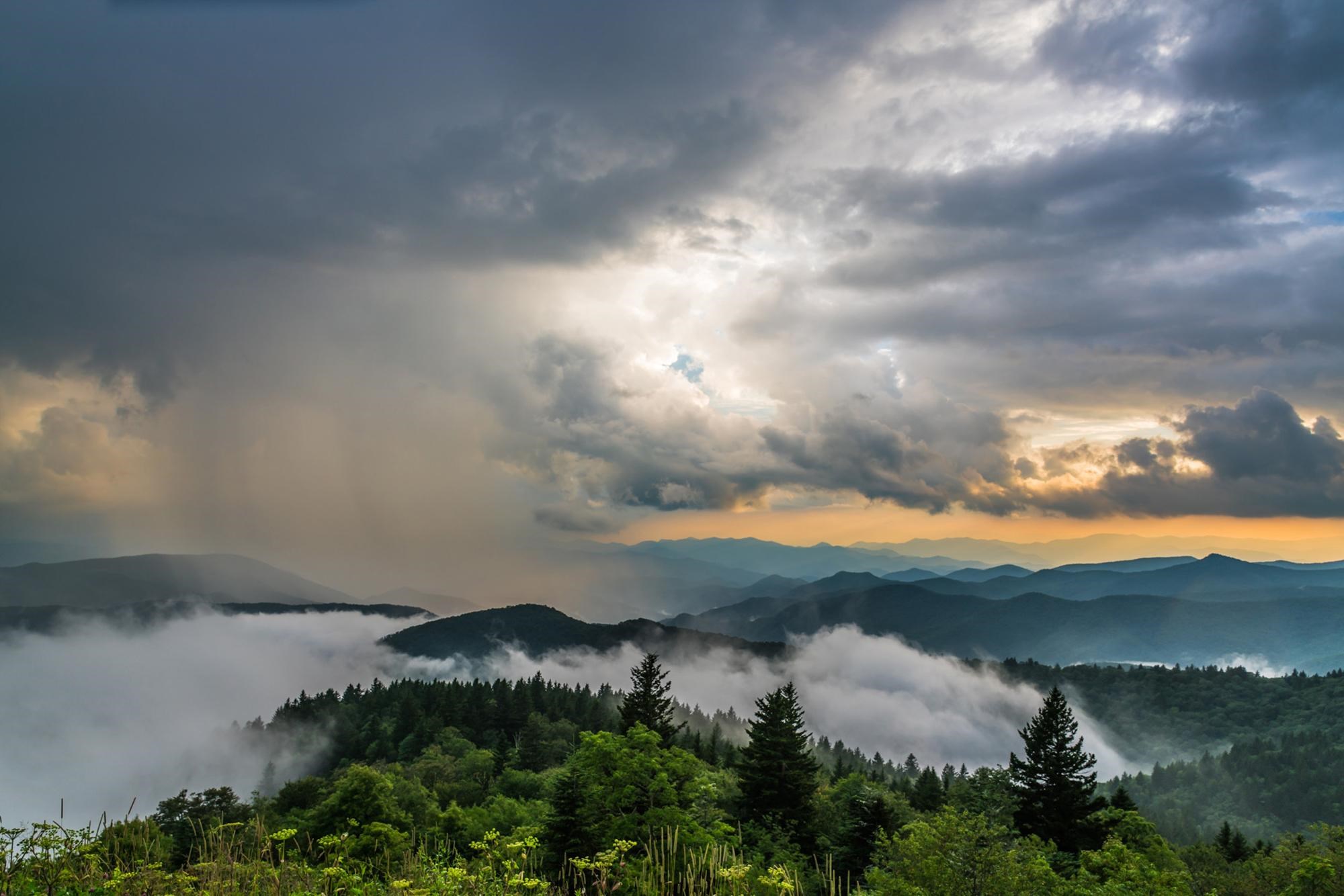
Sunset from Cowee Mountain Overlook — Jim Ruff Photo -
-
-
-
Getting There
Asheville, NC 28803
The parkway is a 469-mile-long scenic road connecting Shenandoah National Park in Virginia to Great Smoky Mountains National Park in North Carolina. Numerous federal and state highways provide access to the parkway.
Full directions
Milepost markers are positioned every mile along the parkway, starting at 0 in Virginia and ending at 469 in North Carolina. We suggest using a map to identify the area you want to visit, as GPS directions often do not incorporate the parkway's milepost system.
Mailing address: 199 Hemphill Knob Rd, Asheville, NC 28803
Map loads when you scroll here